Old Road Bay Inlet
| Baltimore, Maryland United States | |
| 39° 12' 55.09'', -76° 27' 18.01'' | |
| Deep Creek |
You might also consider...


About
Introduction:
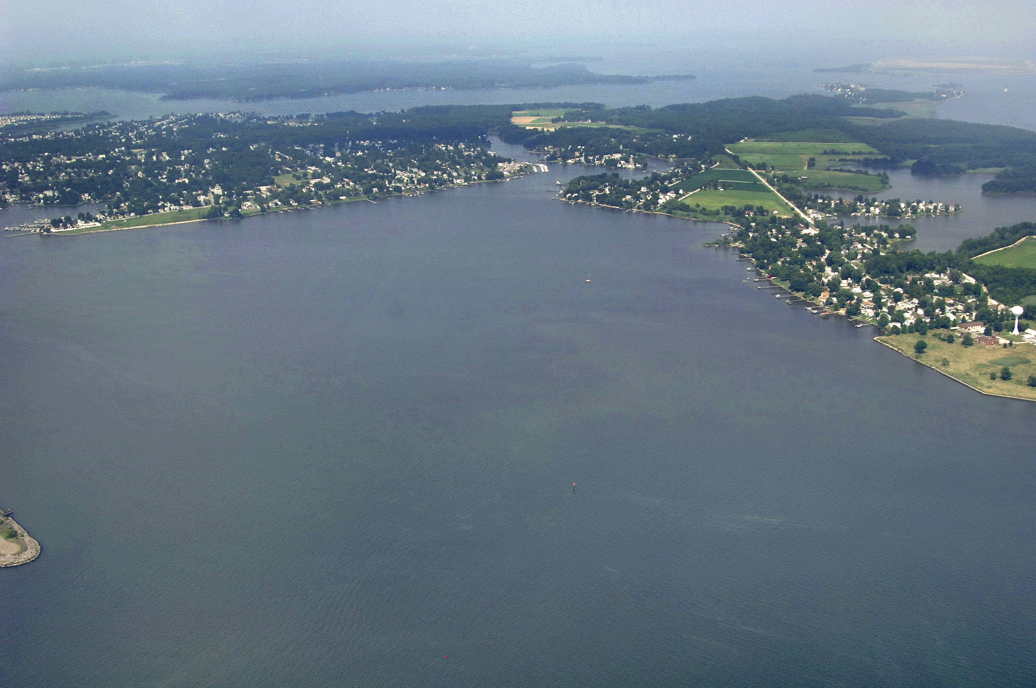
Old Road Bay is located on the north shore of the Patapsco near its mouth. Although not necessarily a destination location, Old Bay has a couple of excellent marinas and some prime anchorage room for those willing to make the trek up Old Road Bay. This is a particularly good location to lay over for the evening if you end up making a late arrival into Baltimore and do not want to transit the rest of the river up to Baltimore in the dark.
Navigating the Water:
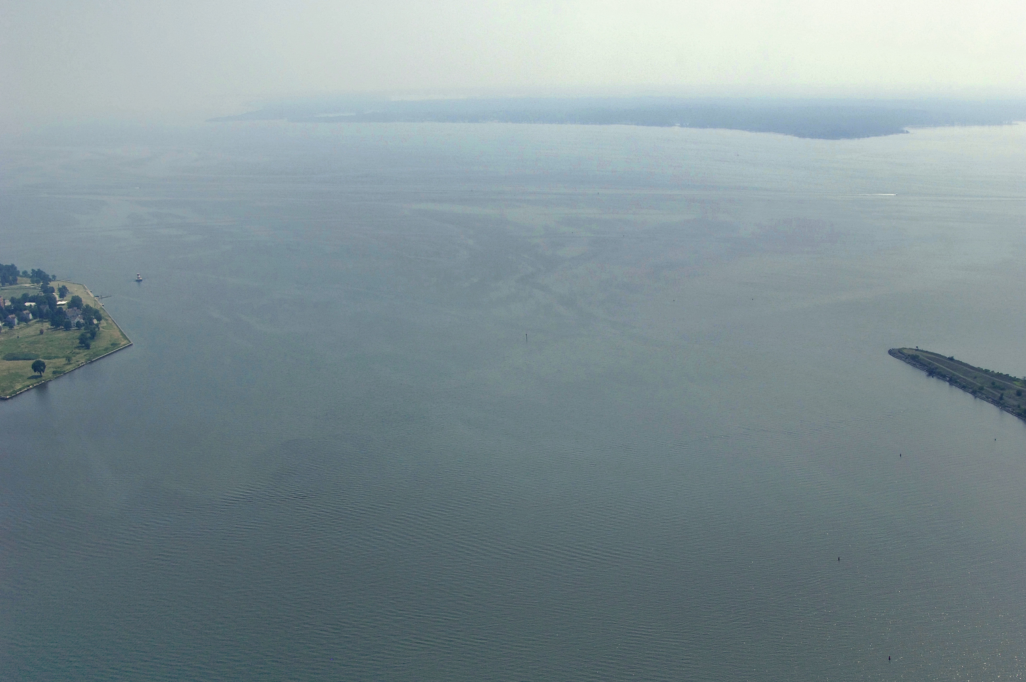
Use NOAA Chart 12278.
Old Road Bay lies before Jones Creek and can be a bit tricky to navigate, due to the randomly occurring shoals in the area. From the Patapsco, pick up the Penwood Channel (replete with lit range) at flashing red buoy 6, and then to red nun 12 at the turning basin for ships unloading at Sparrows Point.
Local Notices to Mariners:
Local Notices to Mariners are available online from the U.S. Coast Guard.