Selby Bay Inlet
| Selby Beach, Maryland United States | |
| 38° 54' 48.96'', -76° 30' 20.87'' | |
| South River |


About
Introduction:
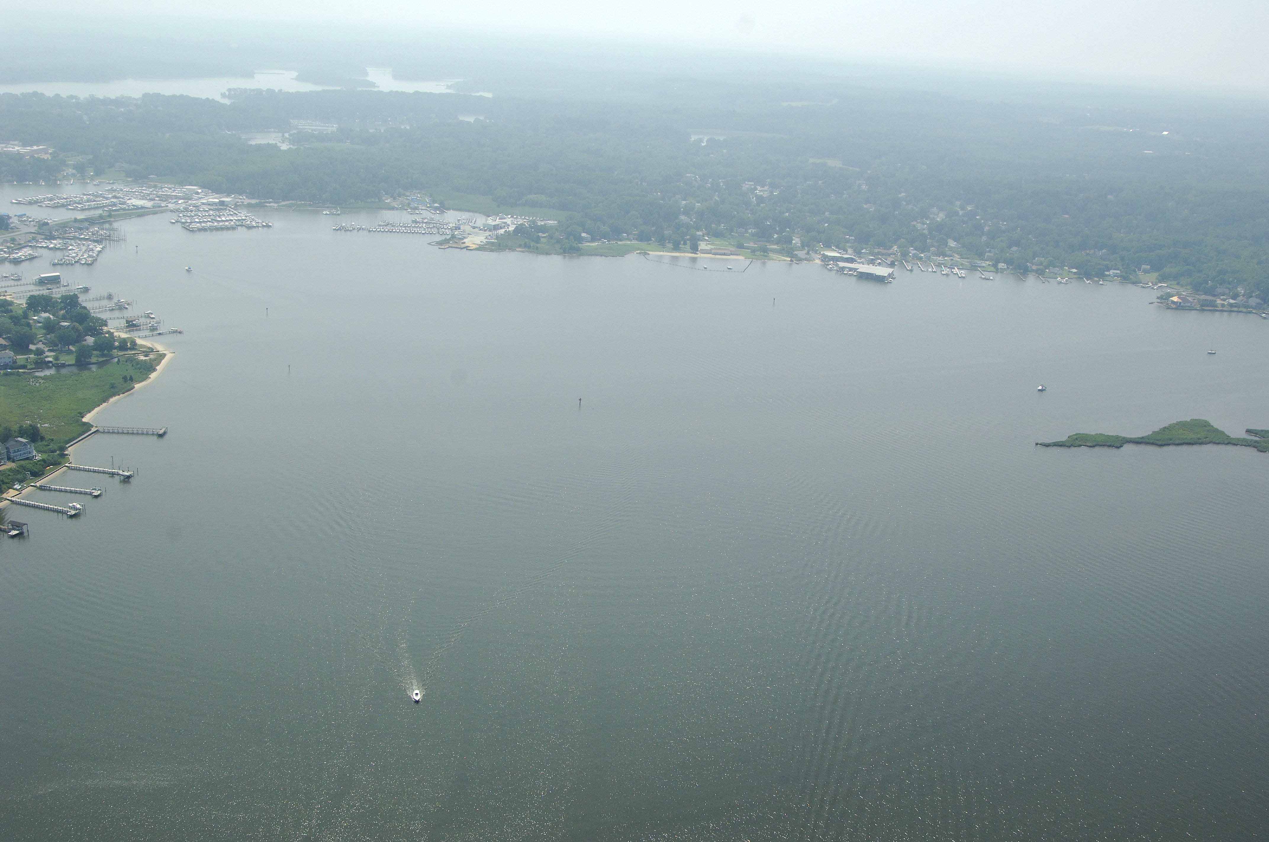
Home to one of the Western Shores largest collection of marinas and marine repair facilities, Selby Bay is the southern anchor to the Annapolis area boating scene. Here you will find three beautiful full-service marinas, anchorage space behind Turkey Point Island and typical mid-bay scenery.
Navigating the Water:
Use NOAA Chart 12270.
The recommended entry route to the Selby Bay area is to the north of Turkey Point Island in the South River at flashing red 6. From here, set a course for flashing re 2 south of Long Point and right into the heart of Selby Bay.
Depths within channel limits range from eight to 11 feet, and a 14-foot fixed vertical clearance bridg limits circumnavigation of Turkey Point Island to all but the smallest boats. (Exiting Ramsay Lake at Turkey POint is advised only with advance local knowledge.) Most of the marinas are located on the north end of Turkey Point Island and the fixed bridge, although one marina sits just south of that bridge.
Local Notices to Mariners:
Local Notices to Mariners are available online from the U.S. Coast Guard.