St. Jerome Creek Inlet
| Dameron, Maryland United States | |
| 38° 7' 8.04'', -76° 20' 36.95'' | |
| Smith Creek |

You might also consider...


About
Introduction:
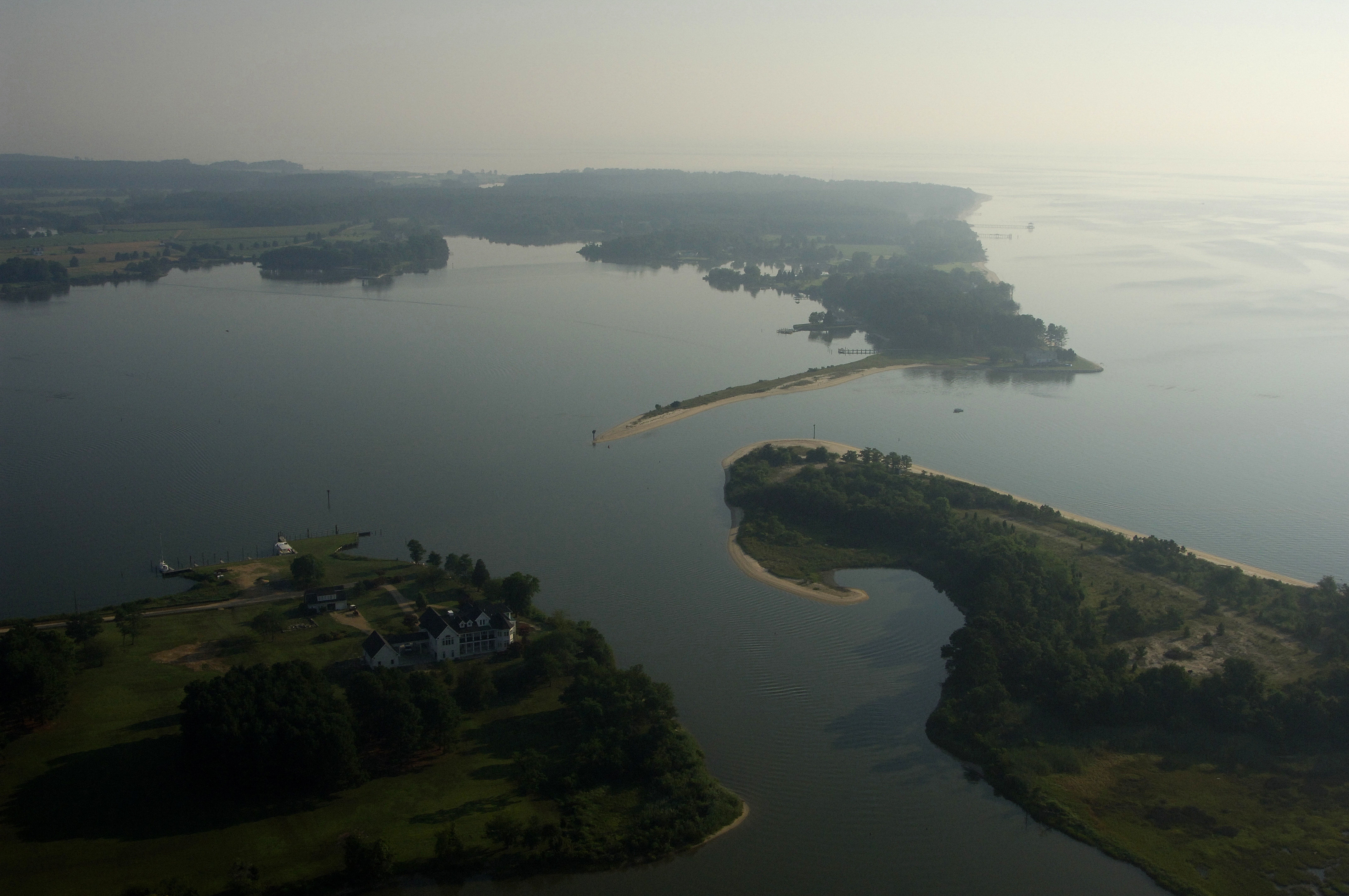
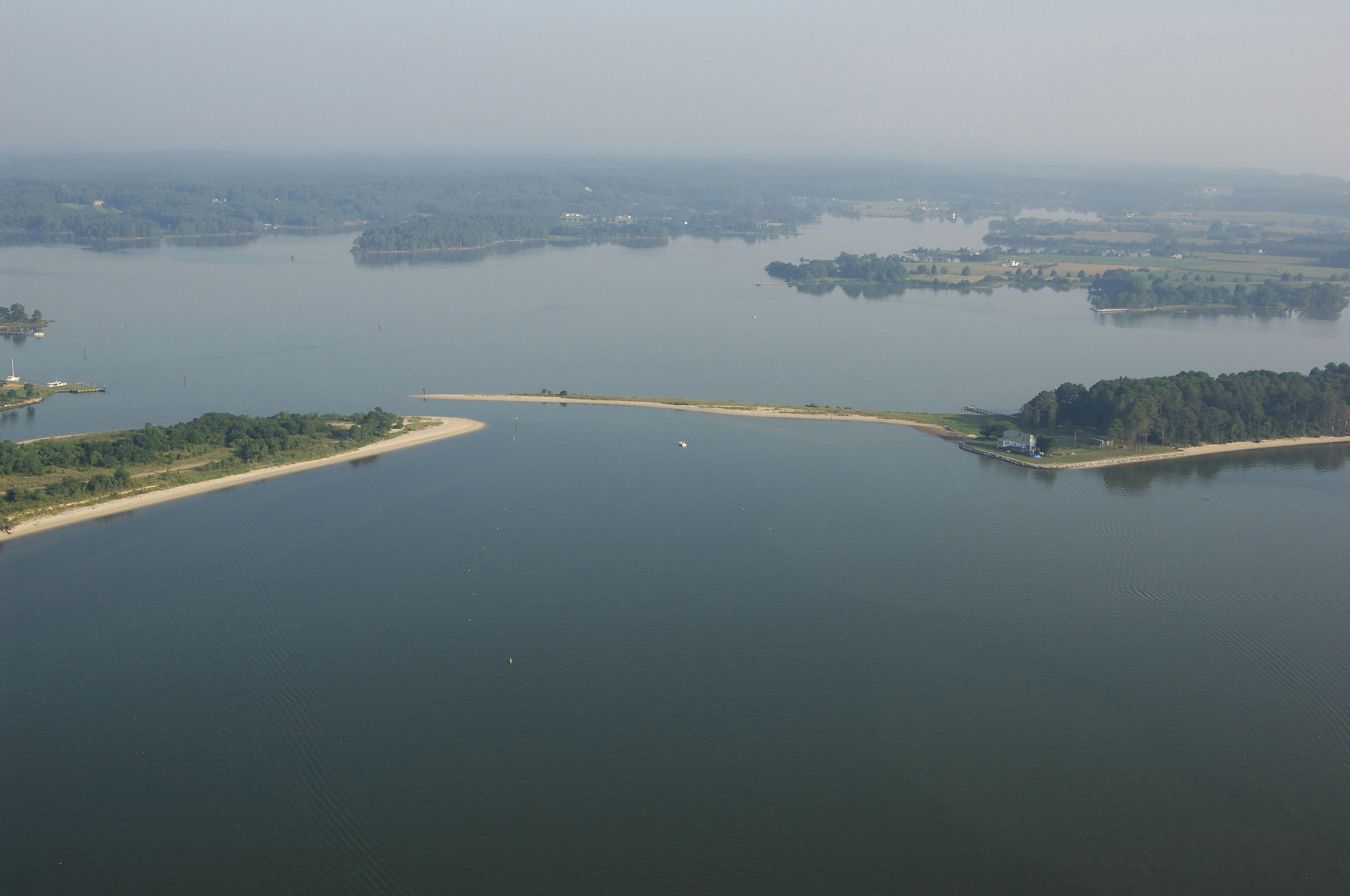
Saint Jerome Creek is a shallow but well protected Creek located just south of Solomons Island near Point No Point and north of the Potomac on Marylands Western Shore. Although shallow, there are a couple of marinas at the head of the creek that cater to shallow-draft powerboats. Due to its shallow, twisty entrance, boats with drafts of more than three feet need not apply.
Navigating the Water:
Use NOAA Chart 12233.
Point No Point Light stands southeast of the actual geographical point and is an excellent spot to pick up the entrance to Saint Jerome Creek. From the flashing white light at Point No Point, head southeast toward flashing green 1 at the mouth of Saint Jerome Creek, about two miles in. After you reach flashing green 1, you can follow the series of red and green daybeacons into the creek, making sure to keep a close eye on the depth sounder as you approach. Depths inside range form four to six feet, but much shallower spots exist.
Local Notices to Mariners:
Local Notices to Mariners are available online from the U.S. Coast Guard.