Cape Charles Harbor Inlet
| Cape Charles, Virginia United States | |
| 37° 15' 47.89'', -76° 1' 41.87'' | |
| Cape Charles Town Harbor |


You might also consider...


About
Introduction:
The Town of Cape Charles (the geographic Cape Charles is to the south) is an active commercial port, but also has a municipal marina at the head of the harbor and is an important base for fishing charters and commercial fisherman in the southern Bay. Cape Charles Harbor can make a convenient stop-off point for boaters leaving from or arriving in Norfolk just a little bit later than they expected. Cape Charles Harbor is 25 miles to the northeast of Norfolk.
Navigating the Water:
Use NOAA Chart 12224.
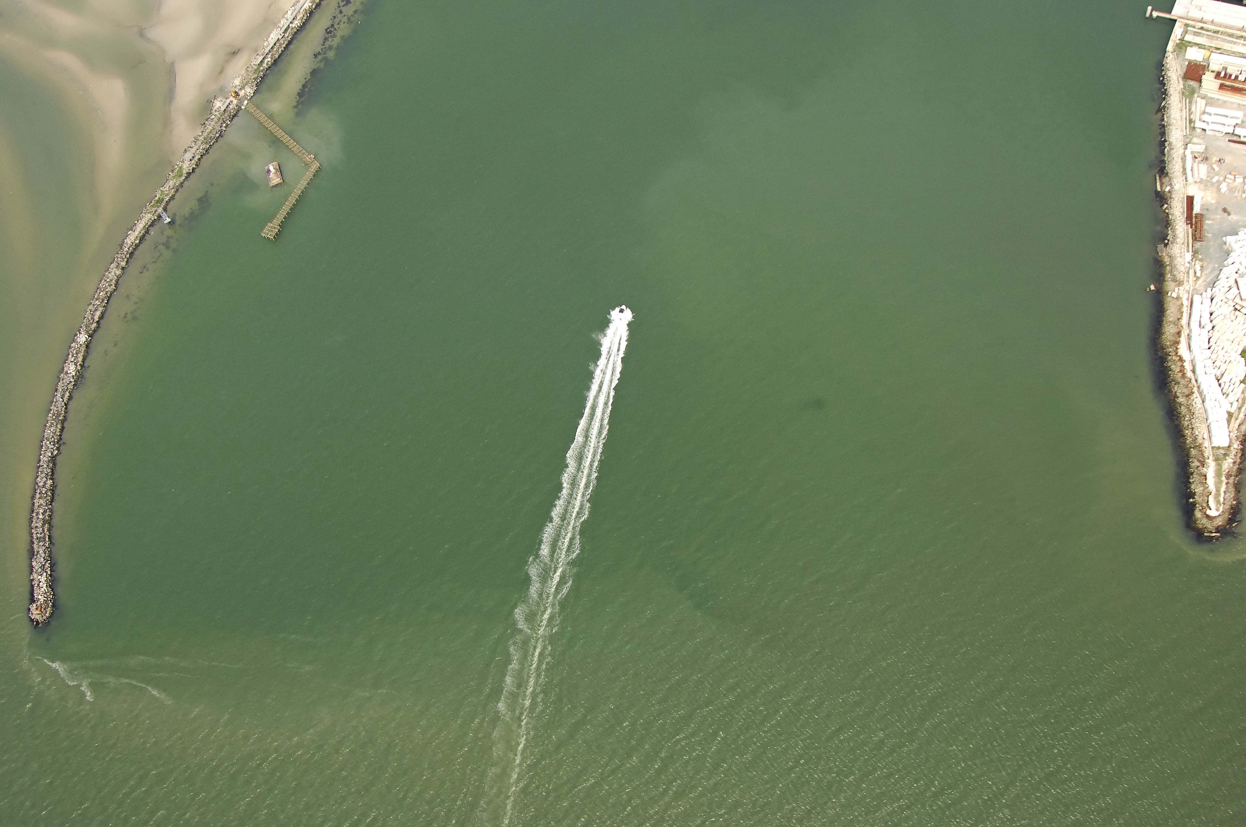
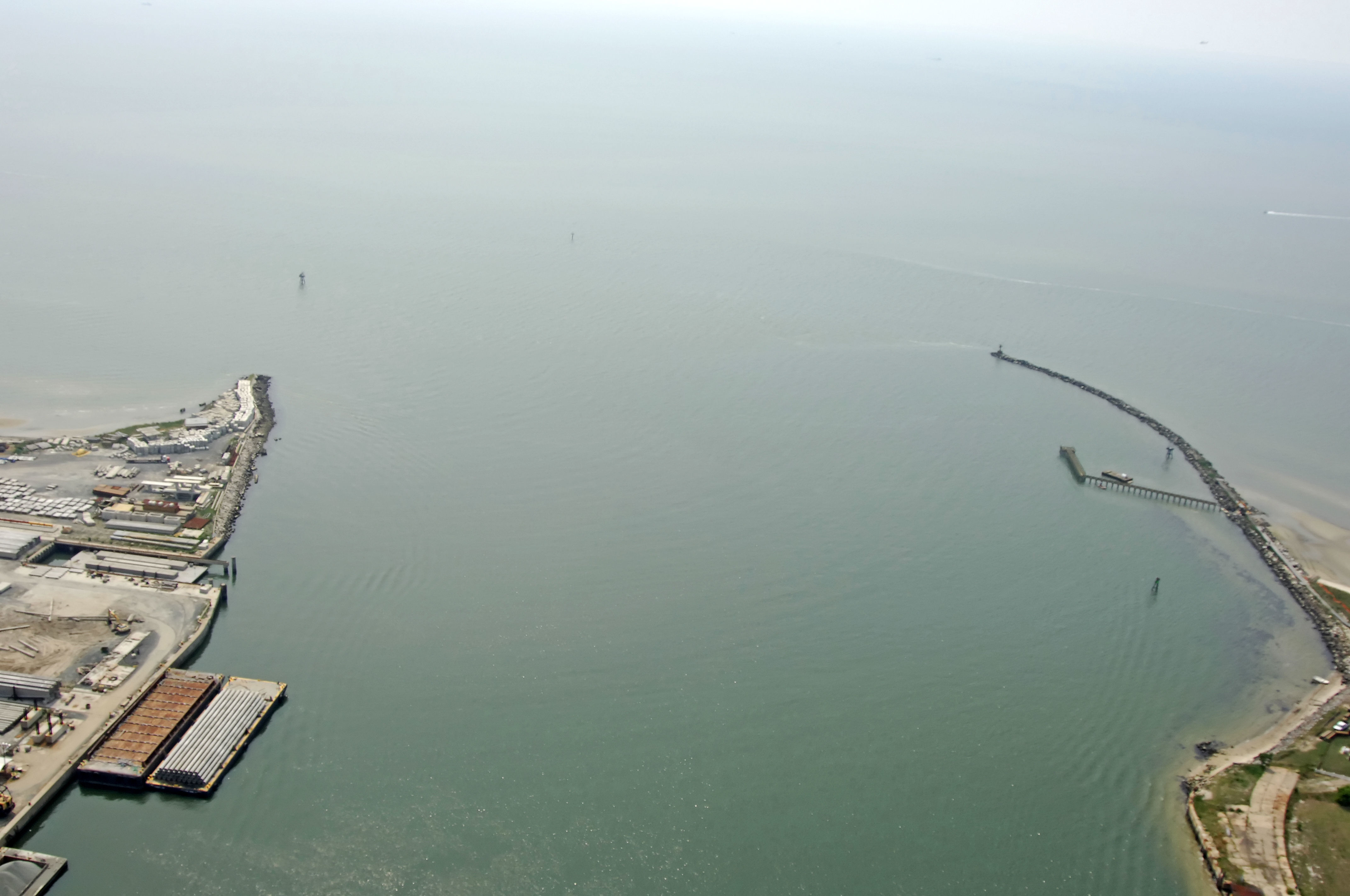
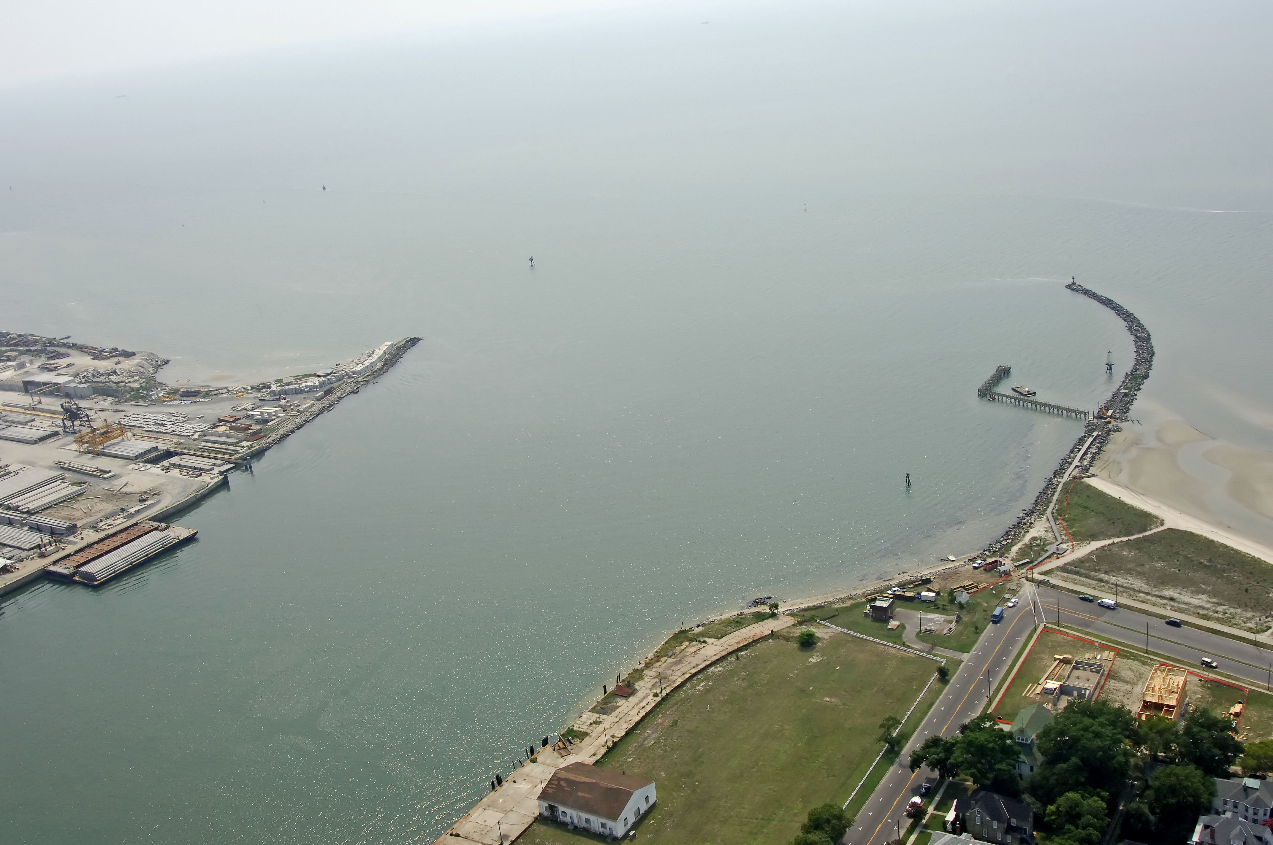
The Cape Charles entrance channel is actually located almost two miles to the southwest of Cape Charles. From the Chesapeake Bay, you will initially pick up the Old Plantation Flats Light (flashing white every four seconds), and then look for flashing green 1, marking the actual beginning of the approach channel. The approach channel has a width of 300 feet and depths of 11.5 feet in mid-channel.
From flashing green 1, you will head to quick flashing red buoy 2, which marks a bend in the channel to the north. Once you have started your turn north, you will pass flashing red 4 to starboard, and then line up for green can 5 and red nun 6, which both lead you into Cape Charles Harbor. Both breakwaters are also lit.
Local Notices to Mariners:
Local Notices to Mariners are available online from the U.S. Coast Guard.