Wicomico River Inlet


You might also consider...


About
Introduction:
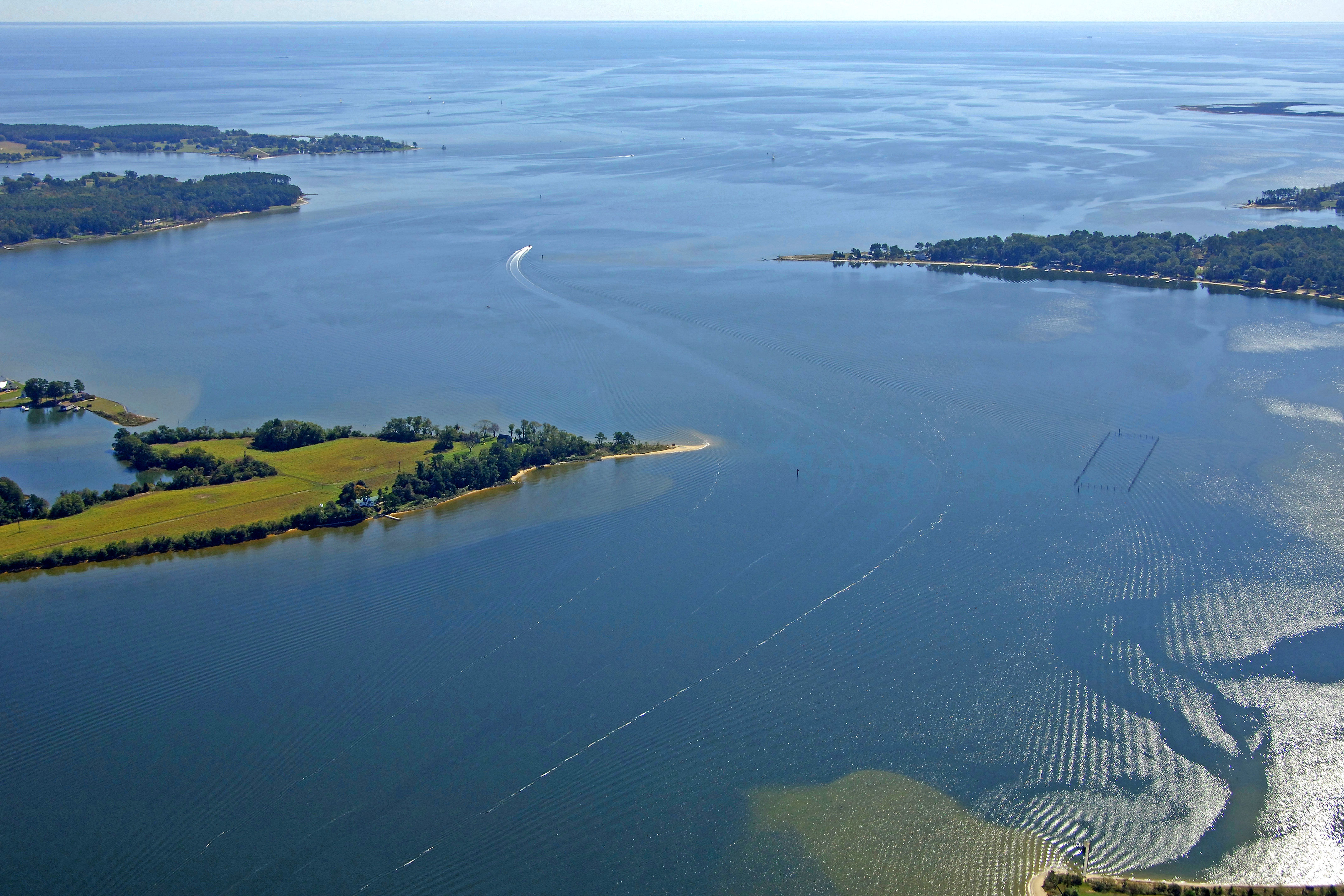
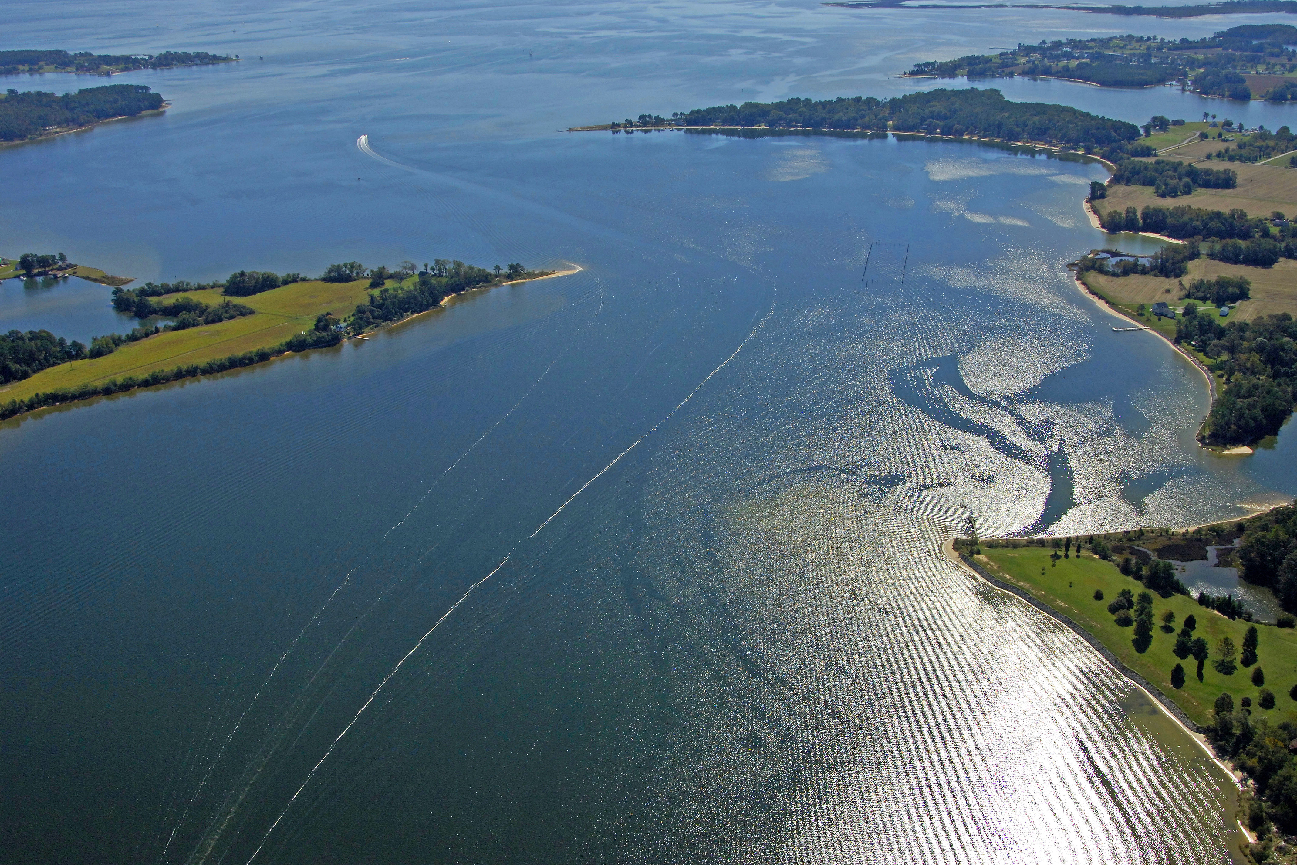
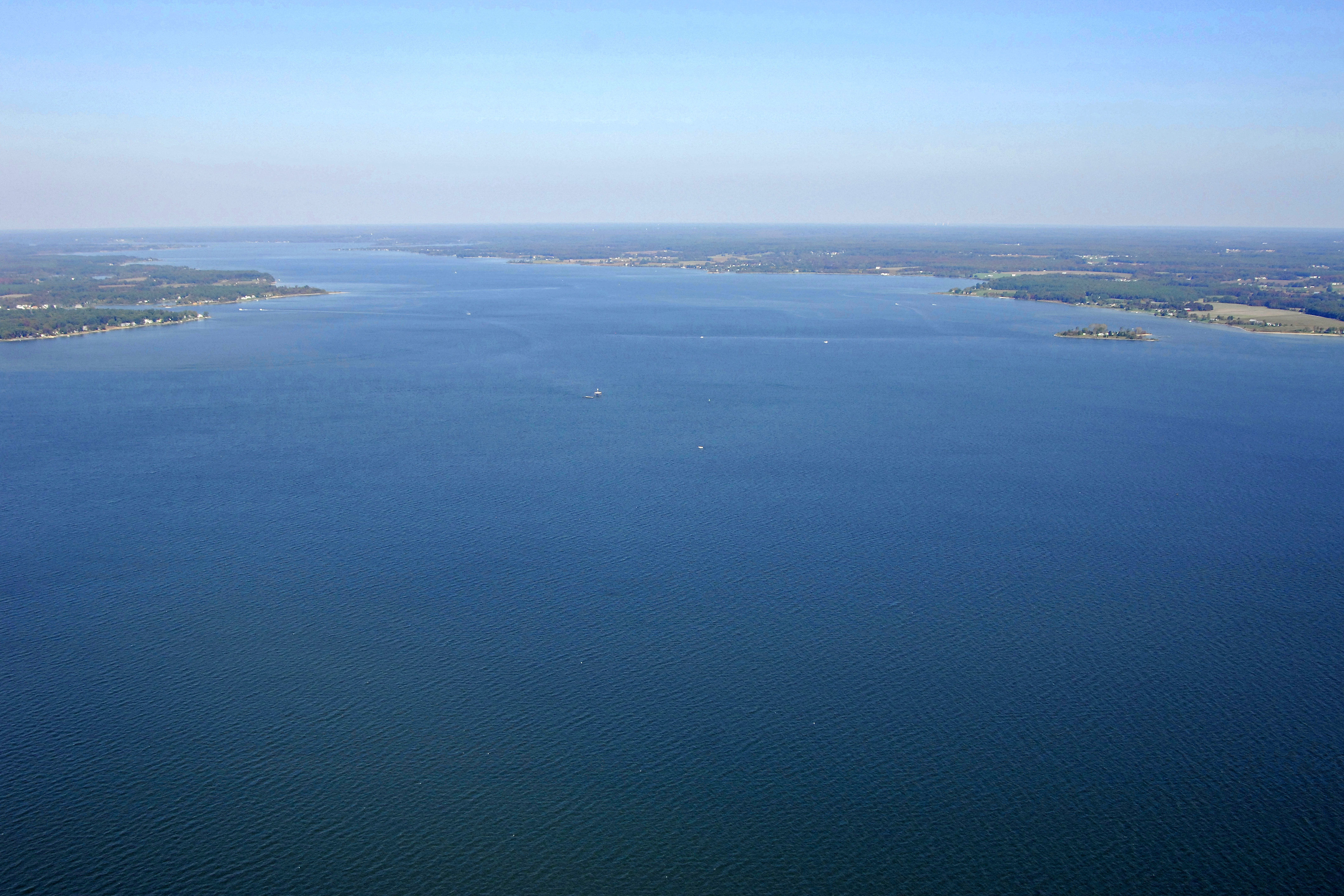
Located at its confluence with the Nanticoke River at Stump point, the Wicomico River provides a scenic marsh-lined trip some 20 miles north to Salisbury, one of the larger towns on the Eastern Shore of Maryland. The mouth is fairly easy to navigate once youve cleared the shallows at Great Shoals and there are no bridges to get in your way all the way to Salisbury.
Navigating the Water:
Use NOAA Chart 12261.
The Wicomico River has a controlling depth of 11.5 feet all the way to Salisbury, but the entrance at Monie Bay near Wingate Point cab be tricky. From Tangier Sound, flashing green bell buoy 1 marks the confluence of the Nanticoke and Wicomico rivers. From here, head east toward red nun 2 and flashing red buoy 4.
The next trick in your trip up the Wicomico is dealing with Great Shoals, which extend southwest from Stump Point. The area is peppered with buoys and lit markers, so one only need heed each and every one of them to make a safe passage through the shoals. This isnt one of those tricky inlets; each mark is very precise and there are no shoals extending into the channel, unlike many Bay locations.
Local Notices to Mariners:
Local Notices to Mariners are available online from the U.S. Coast Guard.