Hackensack River Inlet
| Jersey City, New Jersey United States | |
| 40° 42' 56.88'', -74° 6' 29.88'' | |
| Newark Harbor |


You might also consider...


About
Introduction:
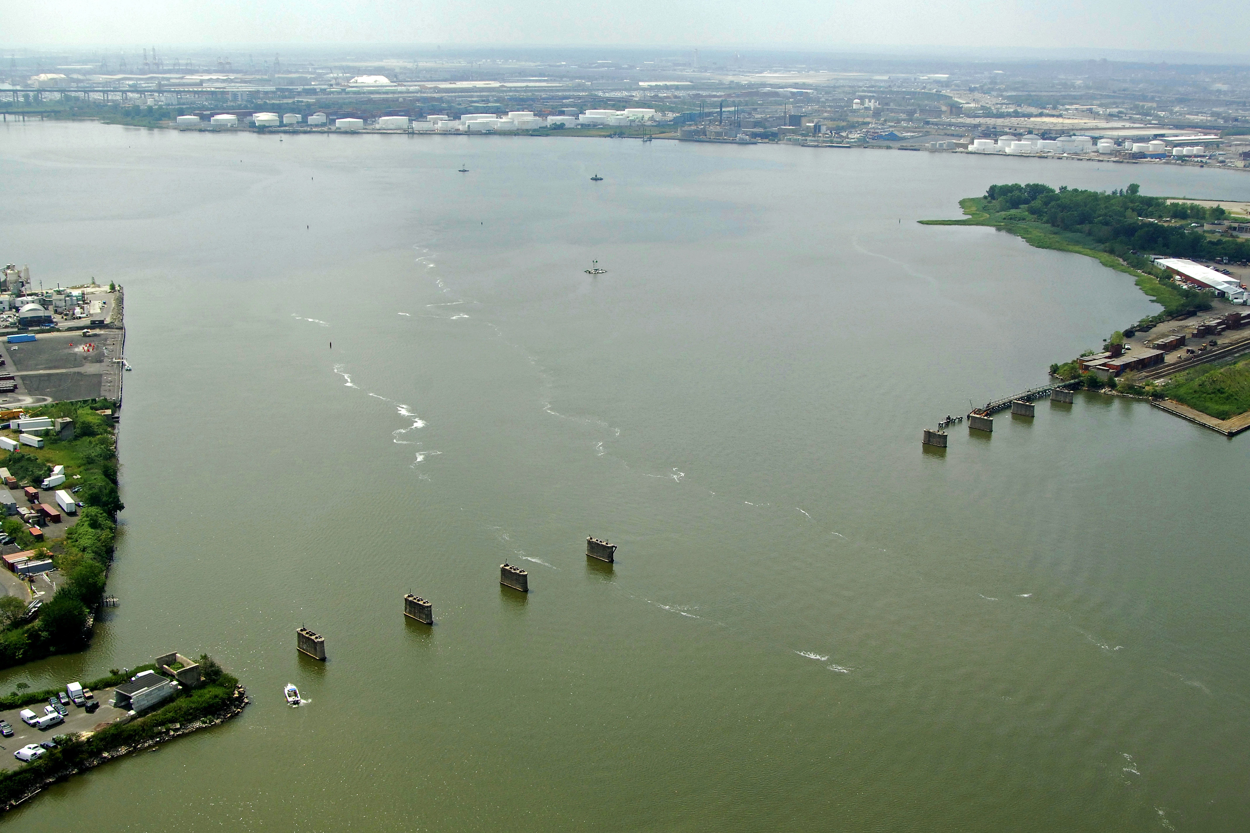
The Hackensack River is located off the northern end of Newark Bay, where the bay splits into the Passaic River and the Hackensack River at Kearney Point. The Hackensack River Inlet lies on the west side of Jersey City and is 18 miles northwest of Sandy Hook and 12 miles south of the George Washington Bridge on Manhattan.
The Hackensack River is an industrial river and the first few miles are lined with all manner of loading docks, manufacturing facilities and numerous lift and bascule bridges. Point being, this is not a cruising destination, but is significant in its closeness to New York City.
Navigating the Water:
Use NOAA Chart 12327.
Flashing red (2+1) NB marks the beginning of the channel up the Hackensack River south of Kearney Point. Onoce you have picked up Flashing red (2+1) NB, you can proceed up the Hackensack River along the Droyesrs Point Reach. There are no marina facilities in this area.
Local Notices to Mariners:
Local Notices to Mariners are available online from the U.S. Coast Guard.