Sunset Lake Inlet


You might also consider...


About
Introduction:
Sunset Lake Inlet is a junction in the New Jersey Intracoastal Waterway at Mile Marker 110 where boaters come upon Wildwood - the first major city since Cape May, and one rich with marinas and marine facilities.
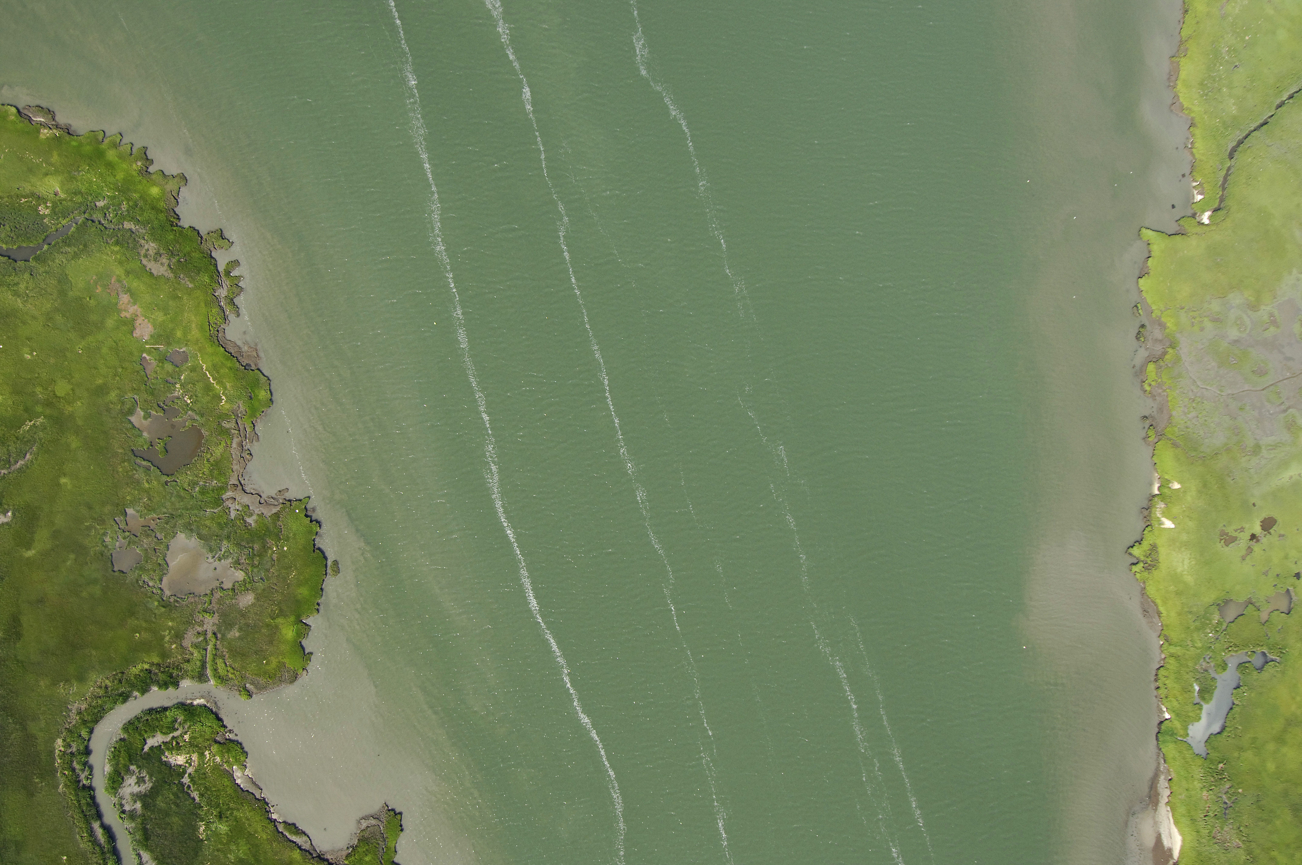
The image above is a view from the southwest looking northeast over the New Jersey Intracoastal Waterway (NJICW) where it meets up with Sunset Lake. Sunset Lake is visible off in the upper right-hand portion of the image, while the Intracoastal Waterway route continues on and curves around near the top of the image in south Wildwood.
Navigating the Water:
Use NOAA Chart 12316.
Approaching from the south, first pick up flashing green 475 just east of Jarvis Sound. Once you have successfully navigated to flashing green 475, continue north and pick up green daybeacon 475 along the way. As you continue along, simply stay mid-channel until the passage meets Sunset Lake at flashing green 471.
There are two marinas on Sunset Lake, but neither of them accept transient guests. Your best bet is to head north to Wildwood.
Local Notices to Mariners:
Local Notices to Mariners are available online from the U.S. Coast Guard.