St Marys Entrance Inlet
| St Marys, Georgia United States | |
| 30° 42' 52.2'', -81° 26' 7.45'' | |
| Fernandina Beach |


You might also consider...


About
Introduction:
The St. Marys River Entrance is a deep, wide, and well marked ocean inlet that allows access to the Atlantic Ocean for offshore boaters, or to the Intracoastal Waterway for boaters arriving in from the Atlantic. The St. Marys River entrance is situated near ICW Mile 714 about 28 miles northeast of Jacksonville and 35 miles south of Brunswick and Jekyll Island.
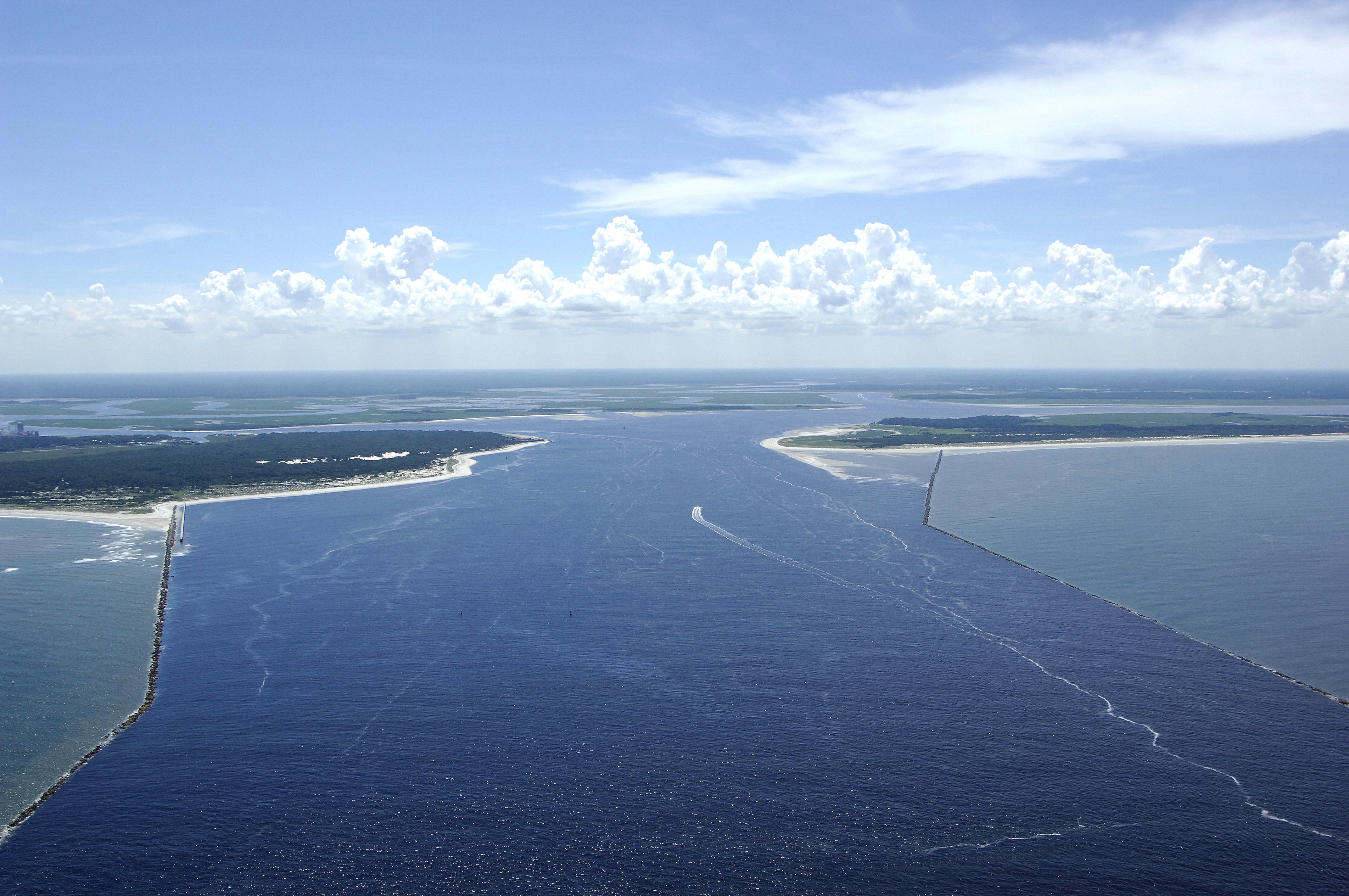
The image above is a view from the east looking west over the opening of the St. Marys River at the Atlantic Ocean. Off to the right (north) side of the inlet jetties is Cumberland Island, a National Seashore and a great place to explore. A ferry boat departs the town of St. Marys farther up the St. Marys River twice a day.
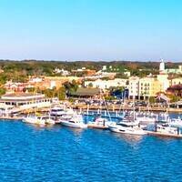
Off to the left (south) is Amelia Island and the town of Fernandina Beach. Fernandina Beach has a good variety of marinas on its waterfront and an excellent main street area with gift shops, restaurants, and an excellent ice cream parlor about half way up on the right as you are walking into town.
Navigating the Water:
Use NOAA Charts 11489 and 11503.
The St. Marys River Entrance is often used by Trident Class nuclear submarines, and as such, the channel itself, as well as the inland waterway channels, are meticulously maintained, well marked and deep. Do be sure to give way to these fast traveling vessels if you come upon one, and if you are arriving from offshore, dont be alarmed if one pops up to the surface nearby.
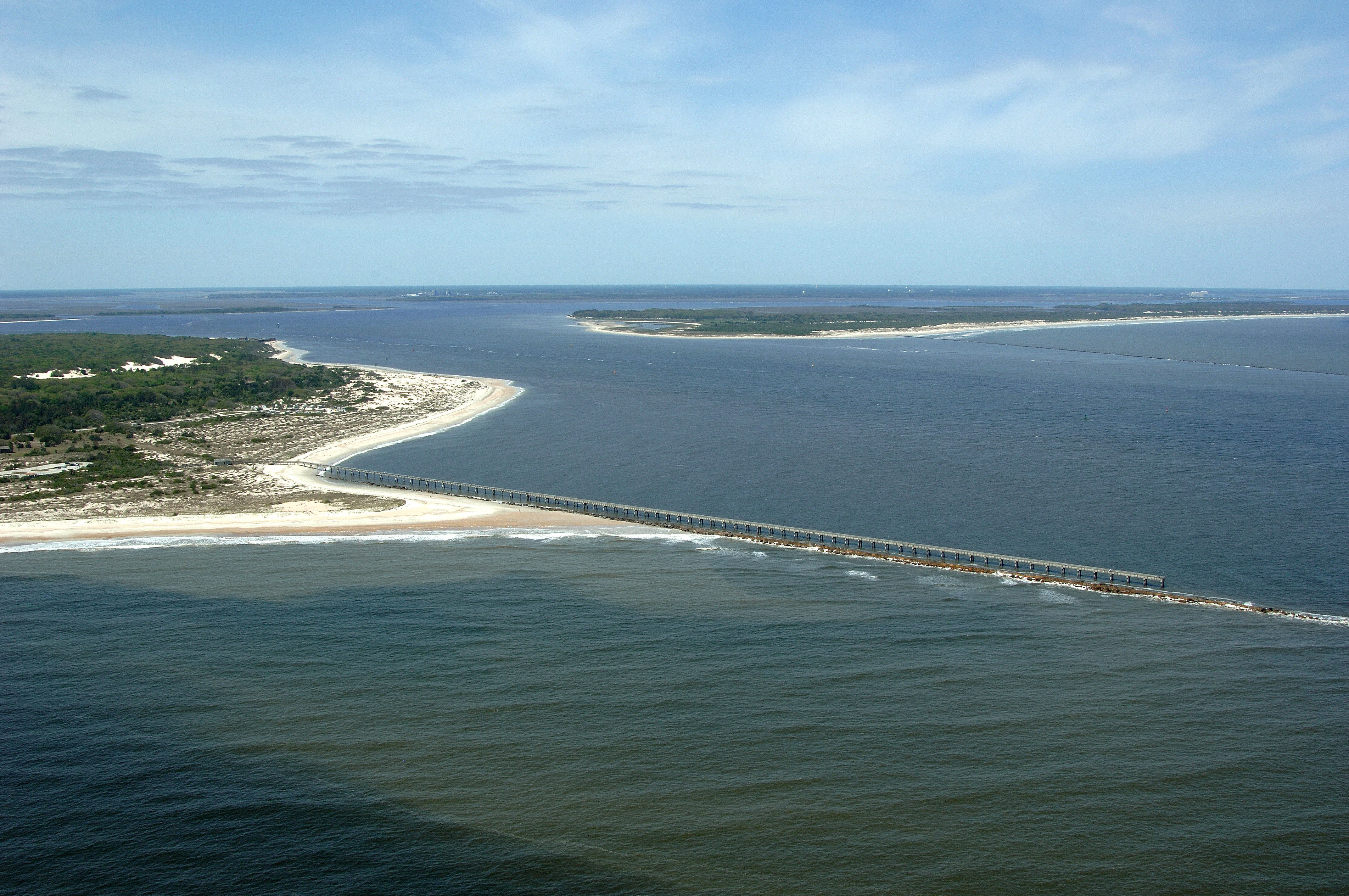
To reach the St. Marys River Entrance, you must first navigate to Morse (A) buoy STM, which is located about 10 miles east of the inlet jetties. This is the route you will want to take at night or bad weather. The long line of buoys may seem tedious, but this will ensure a good course into the inlet. During the day, cruising boaters can aim for quick flashing red buoy 2NJ off the north inlet jetty or flashing green buoy 17 off the south jetty. Depths in and around the jetties are at least 25 feet, and the area is scoured by strong currents keeping the depths at consistent levels.
Inside the inlet you can head north at flashing yellow buoy F toward Cumberland Sound on the Intracoastal Waterway, or south along Quarantine Reach toward Fernandina Beach from flashing yellow buoy E. The St. Marys River breaks off Cumberland Sound at flashing green buoy 29. The town has a waterfront dock, anchorage and small main street area.
Local Notices to Mariners:
Local Notices to Mariners are available online from the U.S. Coast Guard.