Ocracoke Inlet


You might also consider...


About
Introduction:
Ocracoke Inlet is located off the Atlantic Ocean and Pamlico Sound 65 miles northeast of Beaufort and 44 miles south of Roanoke Island near the village of Ocracoke. The Ocracoke inlet allows access to not only Pamlico Sound, but also to the popular vacation area of Ocracoke and Silver Lake nearby to the east. Ocracoke Island is isolated from the rest of the world and must be reached by boat. A ferry service brings visitors in from the mainland on regular schedules during the season.
Navigating the Water:
Use NOAA Charts 11550, 11548 and 12200.
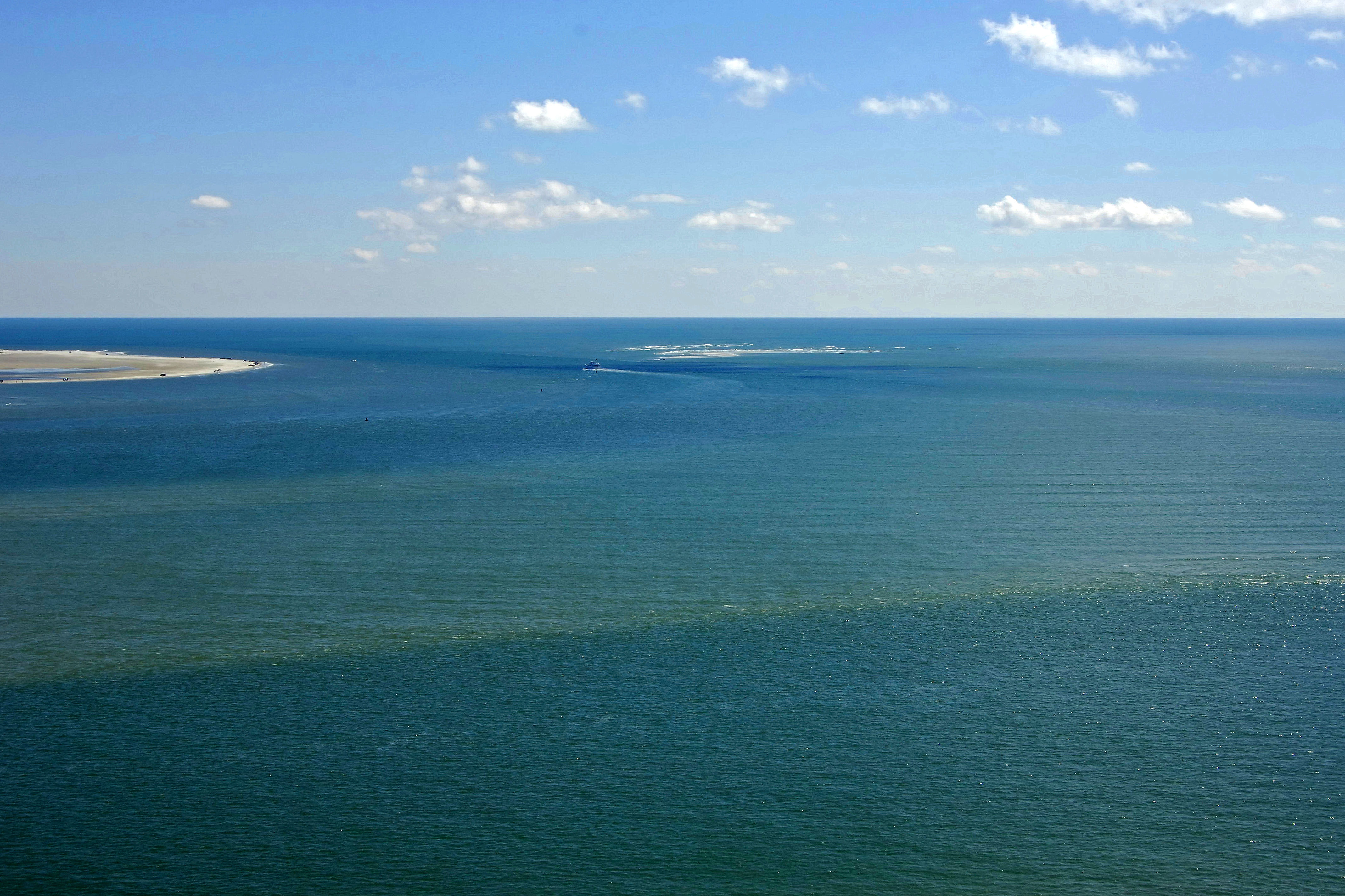
The Ocracoke Inlet is a bit more reliable than its surrounding inlet neighbors, but still deserves a good serving of respect when you use it. As the inlet channel is ever changing, buoys located between the Morse (A) sea buoy in the Atlantic Ocean and flashing green 27 on the Teaches Hole Channel are not charted. The Coast Guard will occasionally conduct a sounding of the inlet and move buoys as necessary. Before transiting the canal, we recommend radioing the Coast Guard or local marinas to determine current conditions.
Inside the inlet are a series of complex and tricky channels that lead east to the village of Ocracoke and north through a series of shoals to Pamlico Sound. Although Wallace Channel and Blair Channel have adequate charted depths, you should treat these as locals only passages and use the more reliable Teaches Hole Channel to the east.
Once you have cleared the inlet, pick up the Teaches Hole Channel at flashing green buoy 27, and then pick up flashing green 29 and flashing red 30 farther on. A series of daybeacons leads you in toward Silver Lake and the village of Ocracoke. Passage farther on into Pamlico Sound is made through Big Foot Slough Channel, which is deep and reliable. This channel is frequently dredged to allow the Ocracoke ferry boats to pass.
Ocracoke has four marinas, and two of them will accept transient guests at their slips. There are no haul-out facilities here.
Local Notices to Mariners:
Local Notices to Mariners are available online from the U.S. Coast Guard.