Sullivans Narrows Inlet
| Isle of Palms, South Carolina United States | |
| 32° 46' 32.88'', -79° 51' 42.84'' | |
| Charleston |


About
Introduction:
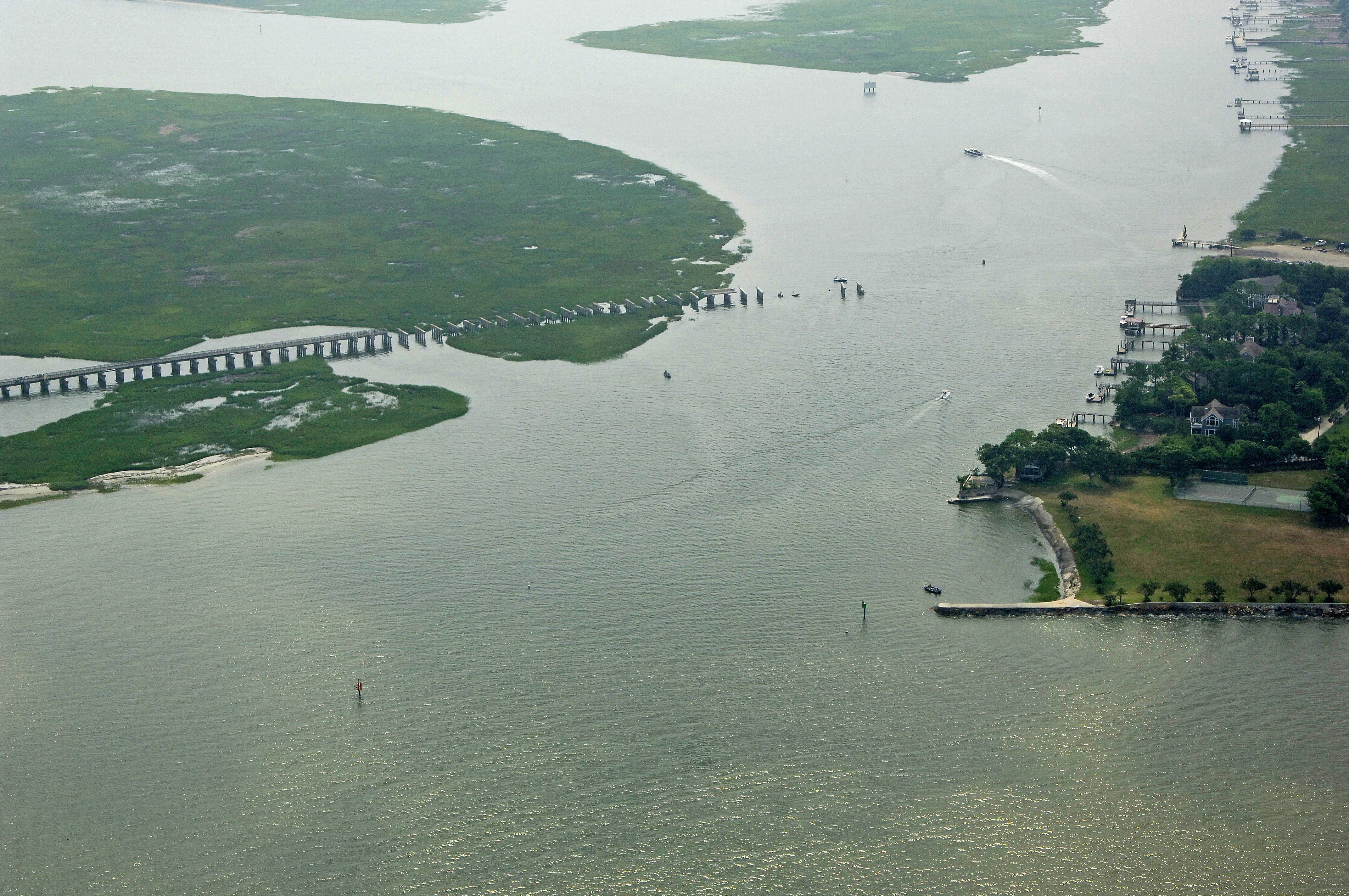
Sullivans Narrows is the body of water the carries the Intracoastal Waterway (ICW) behind Sullivans Island, emptying into Charleston Harbor near ICW Mile Marker 464. This is the Intracoastal gateway to Charleston, a popular stopover with a myriad of marinas, anchorages, repair facilities and sights to see ashore. This is a good place to stock up for the journey south to Beaufort, as facilities are remote between the two cities.
Navigating the Water:
Use NOAA Chart 11518.
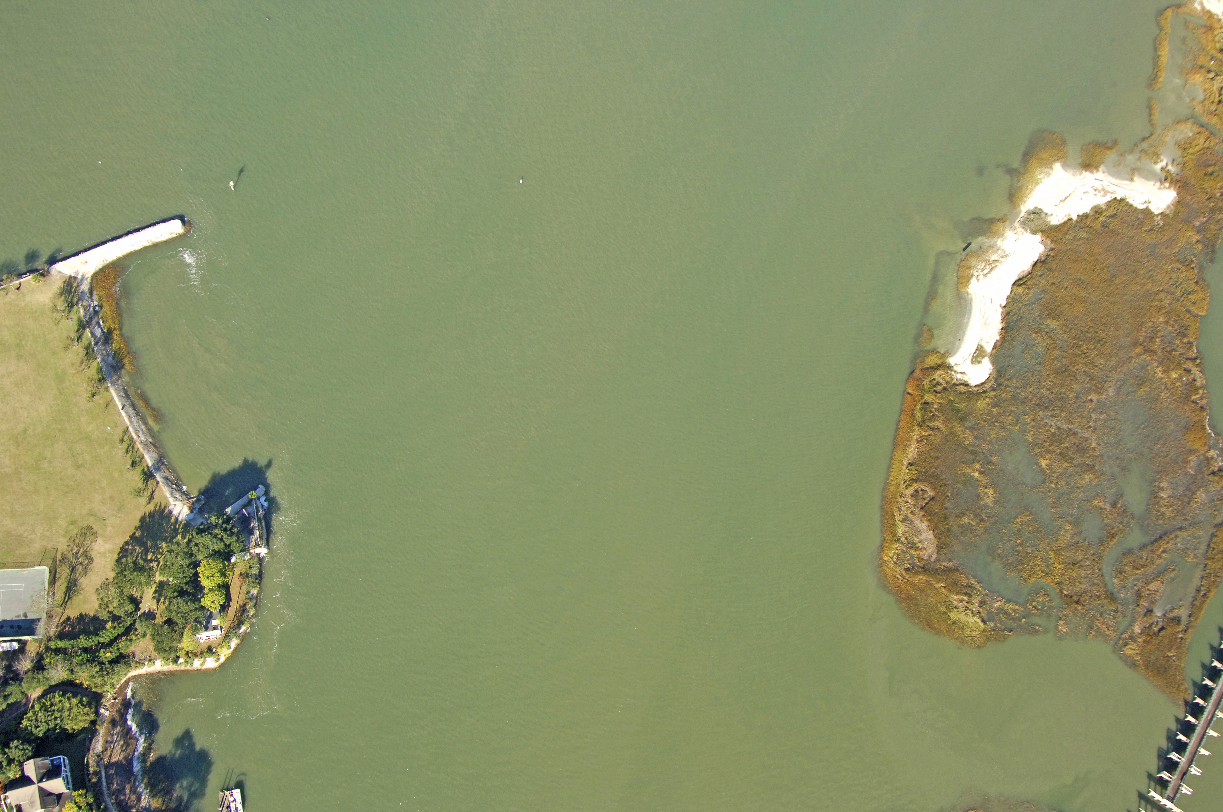
Sullivans Narrows is approached from the west via Charleston Harbor south of Crab Bank. From Charleston Harbor, pick up flashing red 130, and then line up for lighted Range C on the northeast bank of the channel. After you have lined up with the range, set a course for flashing green 127, and then head into the Intracoastal channel farther on at red nun 126. The remnants of an old railroad bridge border the channel at red nun 126, but poses no threat to navigation.
The last mark you will look for is flashing green 125, which marks the turn north toward Isle of Palms. There are no immediate marinas or anchorages in the Sullivans Island area, but you can make arrangements to tie up in Isle of Palms at Morgan Creek about five miles north.
Local Notices to Mariners:
Local Notices to Mariners are available online from the U.S. Coast Guard.