Onset Bay West Inlet


You might also consider...


About
Introduction:
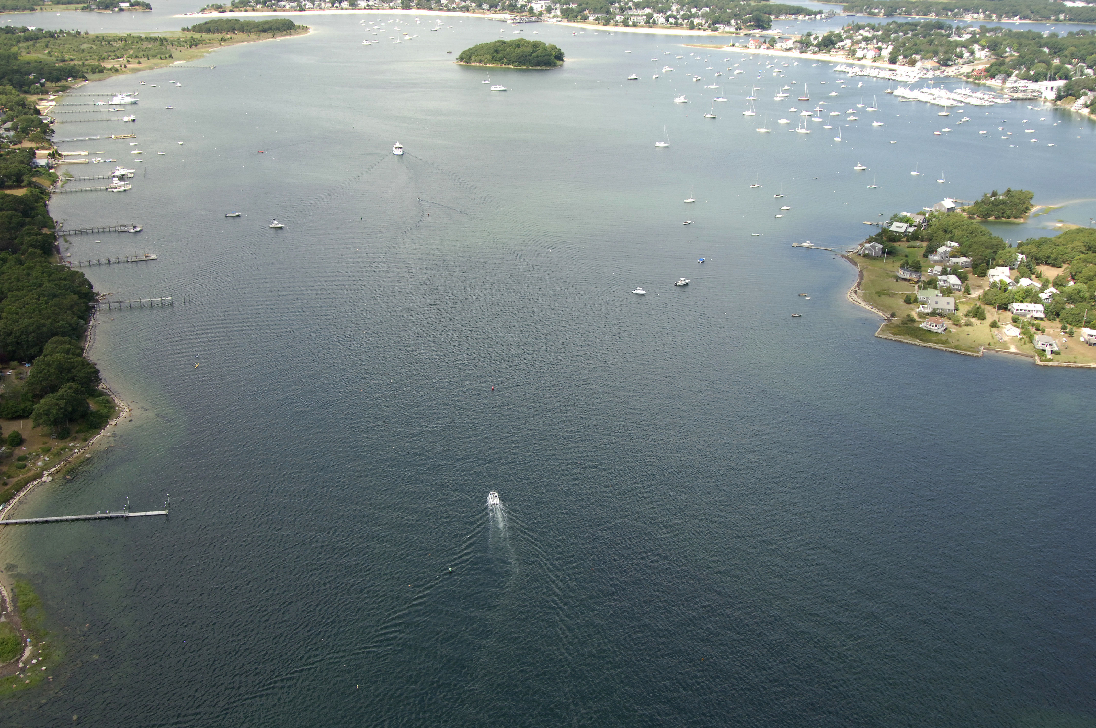
Onset Bay and the town of Onset are located off the Hog Channel, about two miles south of the south entrance to the Cape Cod Canal. The town of Onset is probably the most popular stopover place for transient boats making the passage north through the Cape Cod Canal not only because of the great variety of marinas and marine services that are available here, but also because of the excellent and well protected anchorages and mooring fields on the north side of the bay.
Whether you are transiting the Cape Cod Canal or just gunkholing, Onset makes a convenient and pleasant stop off point.
Navigating the Water:
Use NOAA Chart 13230.
From the Hog Island Channel at Hog Neck, pick up green can "1" at the beginning of the entrance channel to Onset Bay. Quick flashing green "21" serves as the lighted mark for this channel. A series of nun buoys lead the rest of the way up to Onset, and aside from Wickens Island, the northern anchorages are reachable just by exiting the channel at any point.
Local Notices to Mariners:
Local Notices to Mariners are available online from the U.S. Coast Guard.