Sippician Harbor Inlet
| Marion, Massachusetts United States | |
| 41° 41' 54.96'', -70° 45' 10.08'' | |
| Sippician Harbor |

You might also consider...


About
Introduction:
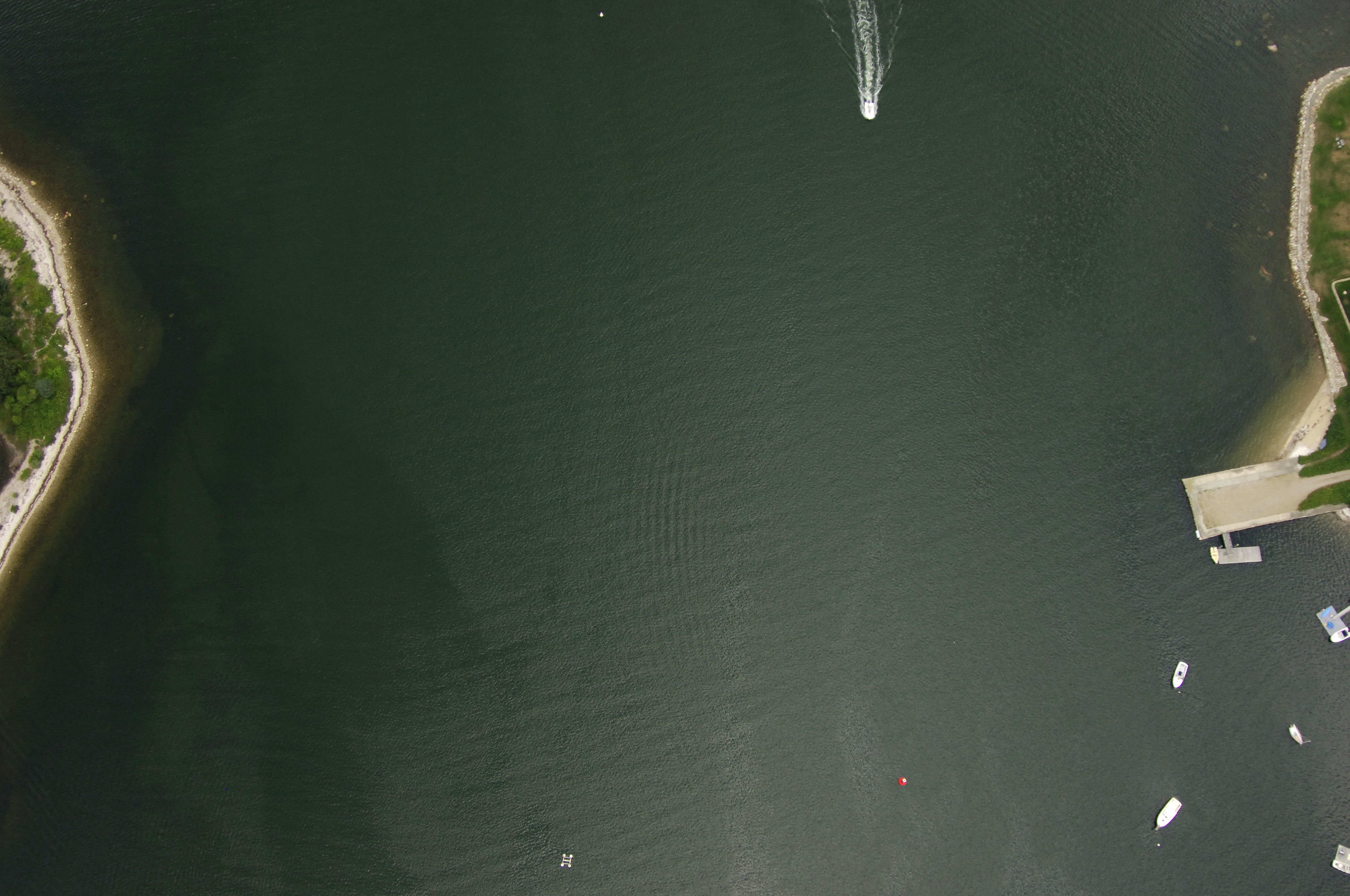
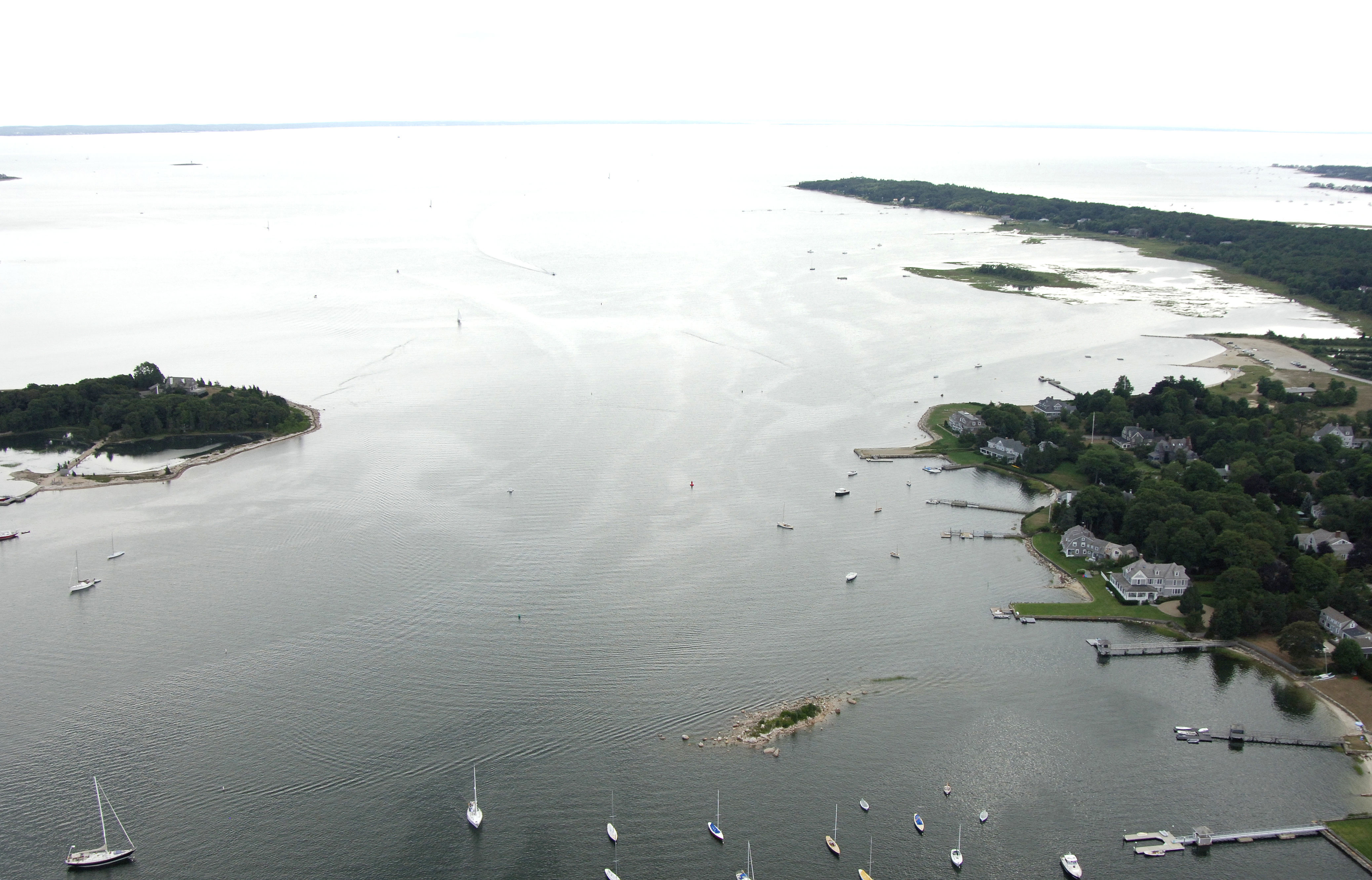
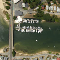
Sippician Harbor and the town of Marion are located on the western shore of Buzzards Bay north of Mattapoisett and about eight miles south of the Cape Cod Canal. Peaceful, quite and easy to enter, the harbor is lined with thick groves of pine trees that may make you feel more like you are in Maine rather than Massachusetts. Tons of shops and marine facilities line the shore making this a very popular stopover point on Buzzards Bay.
Navigating the Water:
Use NOAA Chart 13230.
From Buzzards Bay, pick up flashing red buoy "2" at Centerboard Ledge about three-quarters of a mile southwest of Bird Island. From here, set a course for flashing green buoy "3" at Converse Point, and then green can "5" a little farther in.
Once you have cleared green can "5" near Seal Rocks, head for red nun "6," green can "7" and then flashing red buoy "8" at Ram Island. From here, you can follow the unlit buoys in to the harbor area, but keep in mind that the whole harbor is an extensive mooring area, and boats will be departing and arriving at their moorings at all hours of the day, and they are often hard to spot entering or exiting the channel.
Local Notices to Mariners:
Local Notices to Mariners are available online from the U.S. Coast Guard.