West Falmouth Harbor Inlet
| West Falmouth, Massachusetts United States | |
| 41° 36' 21.95'', -70° 39' 0.01'' | |
| Falmouth Harbor |

You might also consider...


About
West Falmouth Harbor Inlet
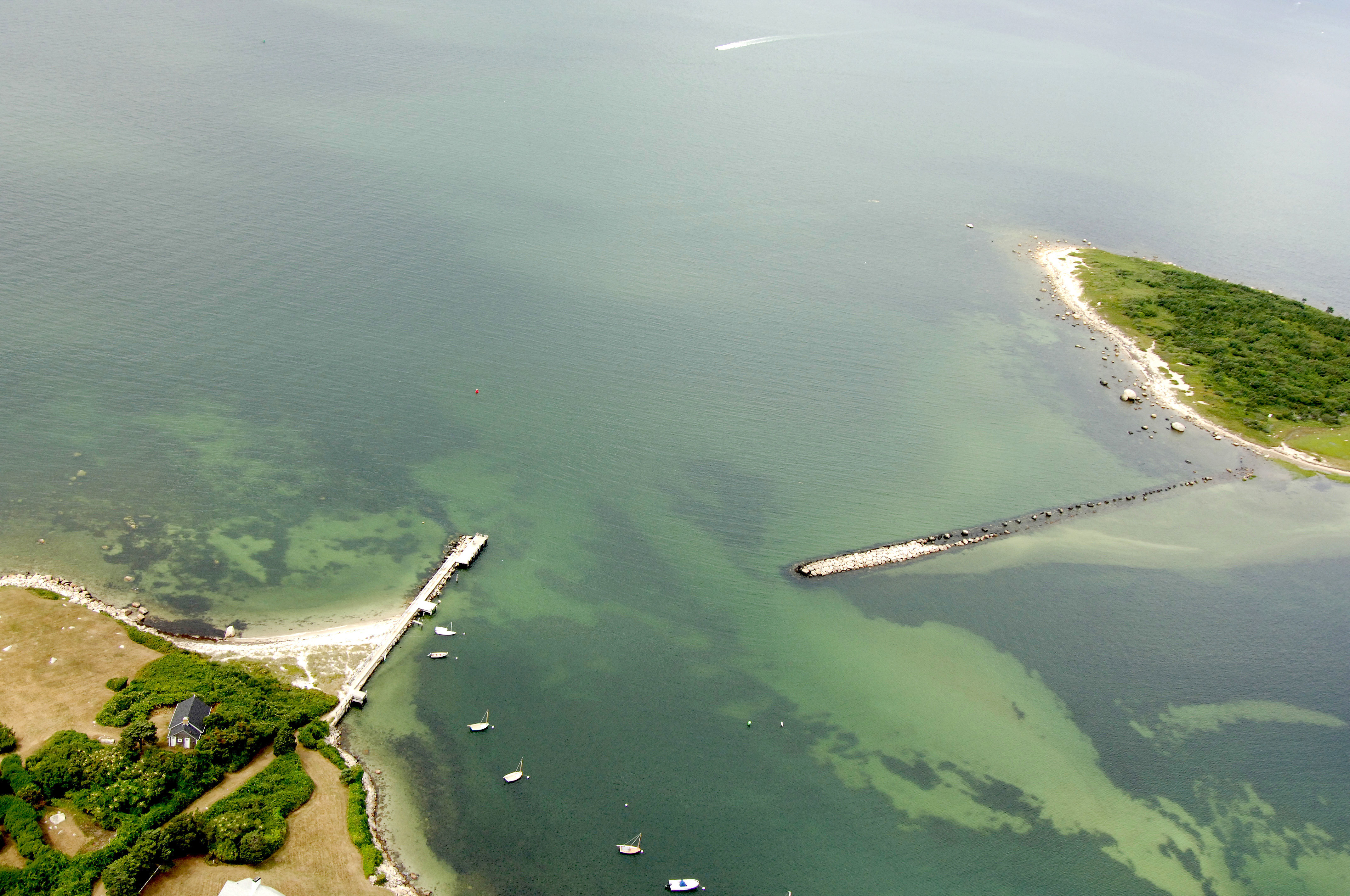
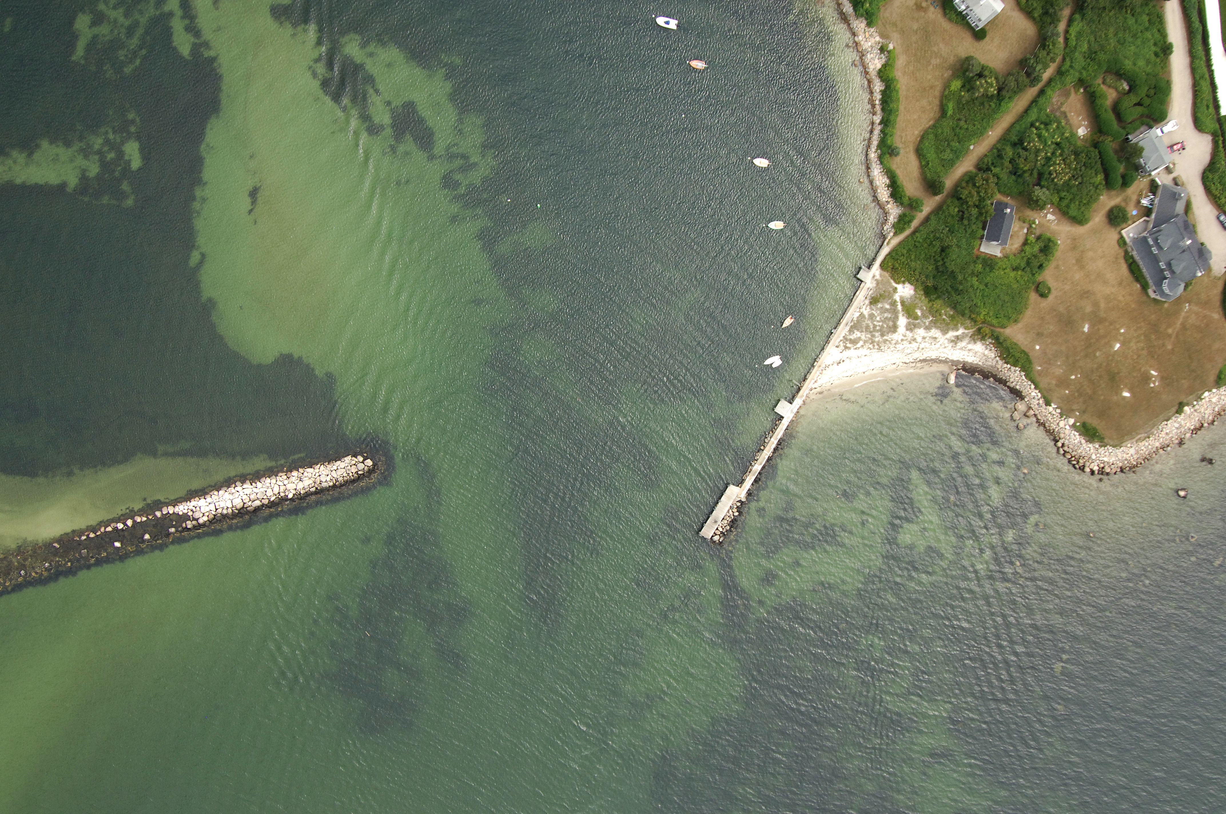
West Falmouth Harbor is located on the east shore of Buzzards bay about 10 miles south of the Cape Cod Canal and six miles north of Woods Hole. West Falmouth is small and remote, and there are limited facilities here. That said, the town has a nice anchorage, and you may even be able to arrange a slip or mooring for the evening with advance preparation.
Navigating the Water:
Use NOAA Chart 13230.
From the southern part of Buzzards Bay, set a course for flashing red buoy "2" near Chappaqouit Point near the entrance to West Falmouth Harbor. From flashing red buoy "2," head in toward the harbor, making sure to honor red nun "4," which marks Pulpit Rock. The channel here is subject to shoaling, but there is usually at least three-foot depths in the inlet.
Farther up the harbor there is a small anchorage (well protected), and a small town wharf, which does not accept transients. Best to call ahead here to inquire about accommodations for the night.
Local Notices to Mariners:
Local Notices to Mariners are available online from the U.S. Coast Guard.