Point Diablo Lighthouse
| California United States | |
| 37° 49' 12.0'', -122° 29' 56.4'' | |
| San Francisco |


About
Introduction:
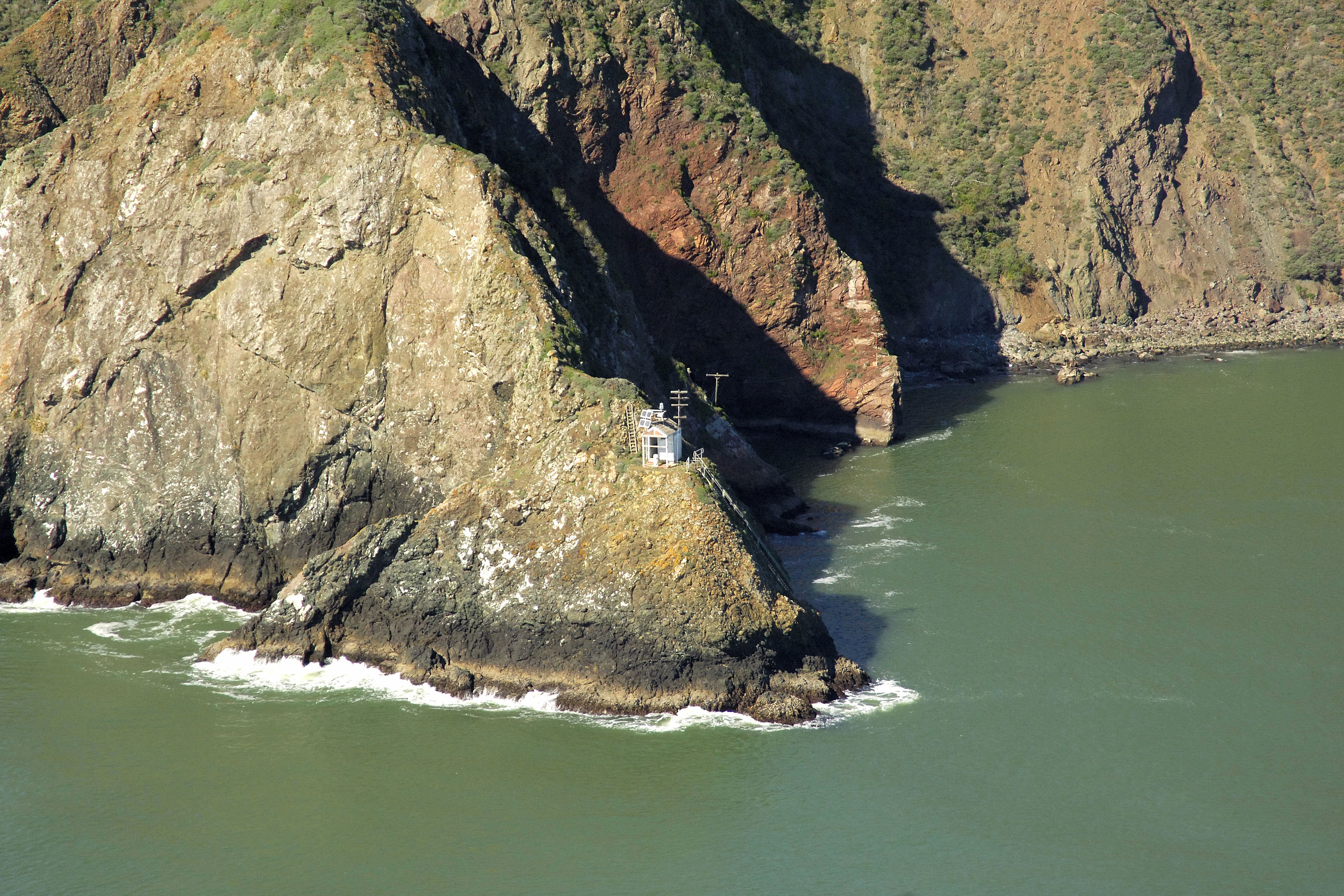
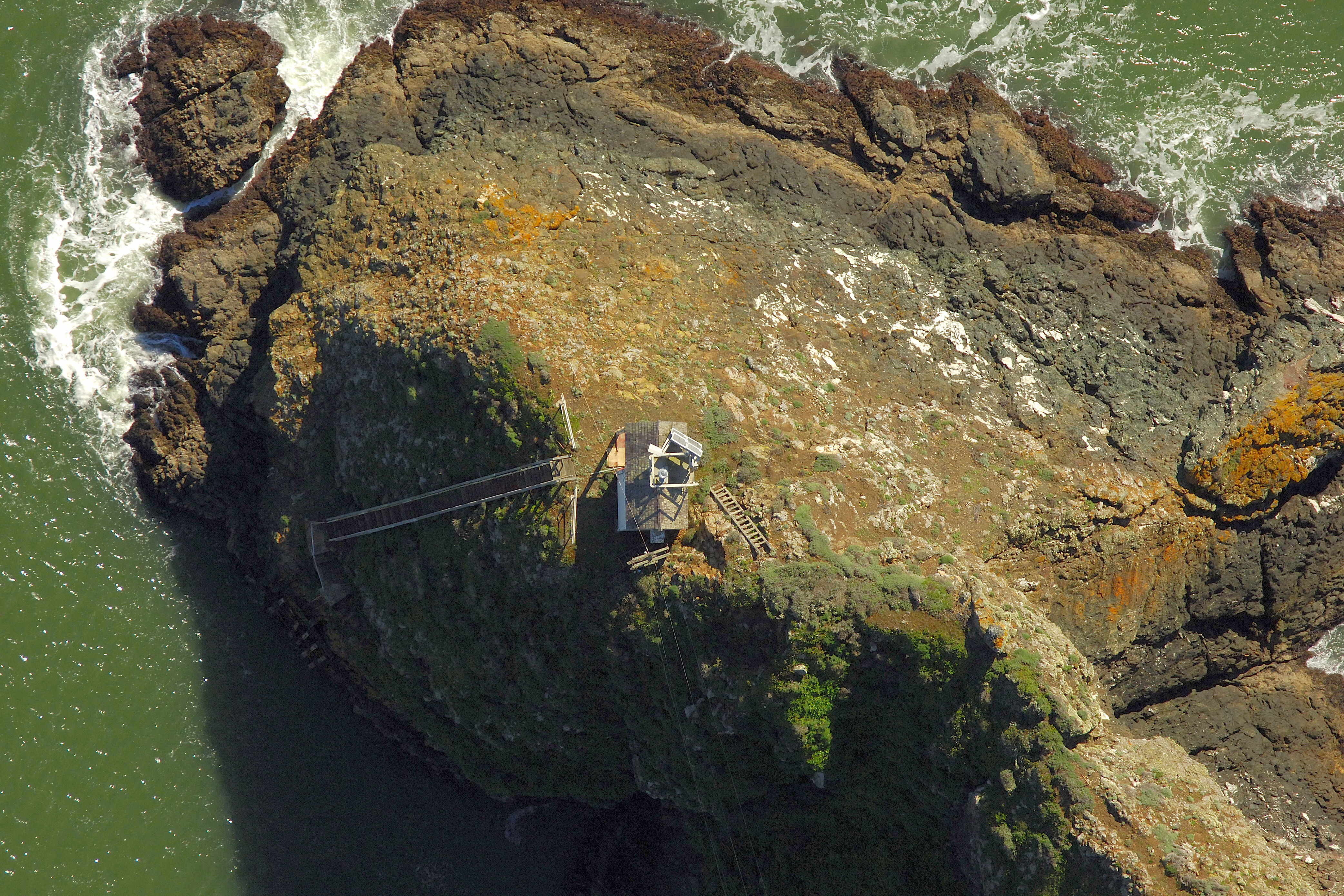
Point Diablo is the second of two lights marking the north coastline of Golden Gate on the approach to the Golden Gate Bridge, the first being Point Bonita farther out to the west. This is a navigational light only in most regards, without an expansive lighthouse structure to elevate it.
Navigating in and Around the Lighthouse:
Use NOAA Chart 18649.
Characteristics: White isophase (six seconds lit, six seconds extinguished) light with focal plane 85 feet above water and horn during fog.
This light is located on the north shore of Golden Gate about one mile west of the bridge, and on the east side of Bonita Cove. Although the water is deep very close to shore, tricky currents and notoriously rough weather in the area warrant keeping your distance.
Local Notices to Mariners:
Local Notices to Mariners are available online from the U.S. Coast Guard.
Local Notices to Mariners:
The remote light is not open for tours and is inaccessible due to its location.