Shelter Cove Lighthouse
| California United States | |
| 40° 1' 21.0'', -124° 4' 15.6'' |


You might also consider...


About
Introduction:
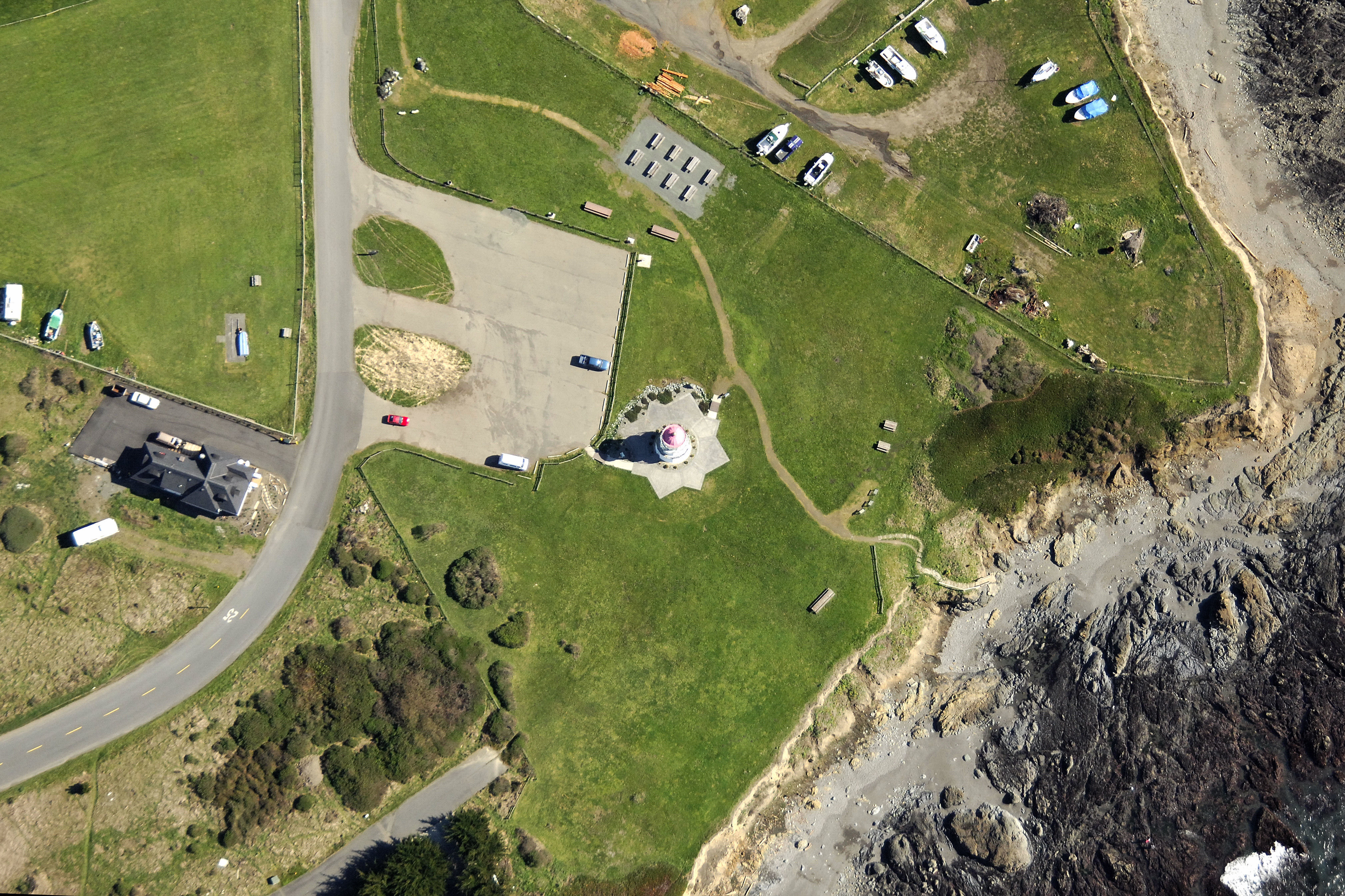
The lighthouse that stands on this point used to stand 400+ feet above the waters of the Pacific Ocean marking the westernmost point in California (Cape Mendocino) some 30 miles north of here. Time eventually caught up with the lighthouse and in 1998, the old Cape Mendocino Lighthouse Tower was moved here to Shelter Cove.
History:
The original light entered service north of here in 1868. The station was automated in 1951, and the light was moved to a stationary structure nearby. The Fresnel lens was moved to Ferndale, where it is now visible at the Humboldt Fairgrounds.
Navigating in and Around the Lighthouse:
Use NOAA Chart 18623.
Characteristics: Flashing white every 15 seconds.
Local Notices to Mariners:
Local Notices to Mariners are available online from the U.S. Coast Guard.
Tour Schedule:
The lighthouse and grounds are open daily for tours from Memorial Day to Labor Day.