Boon Island Lighthouse
| Maine United States | |
| 43° 7' 15.97'', -70° 28' 32.88'' | |
| York Harbor |


You might also consider...


About
Tour Schedule:
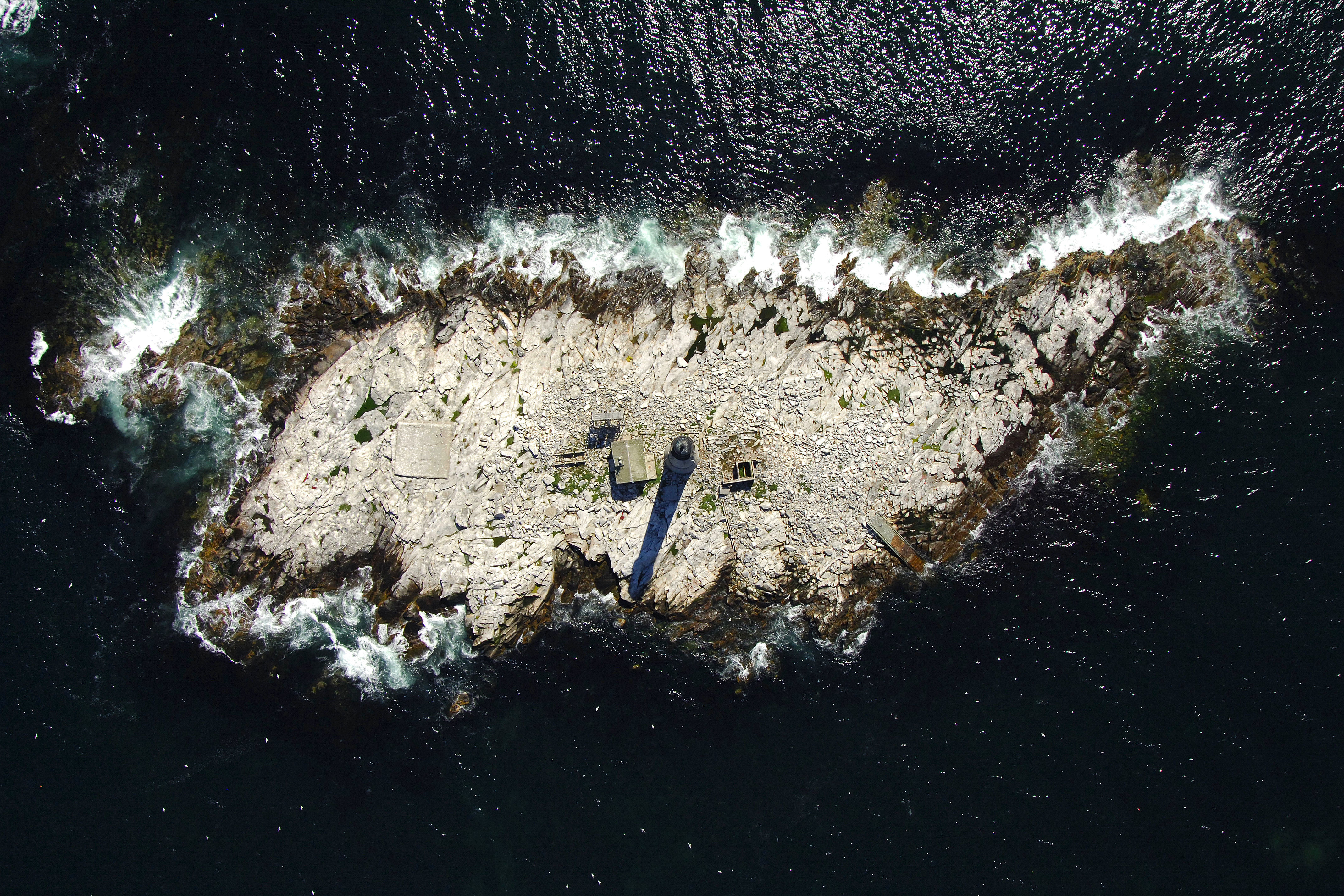
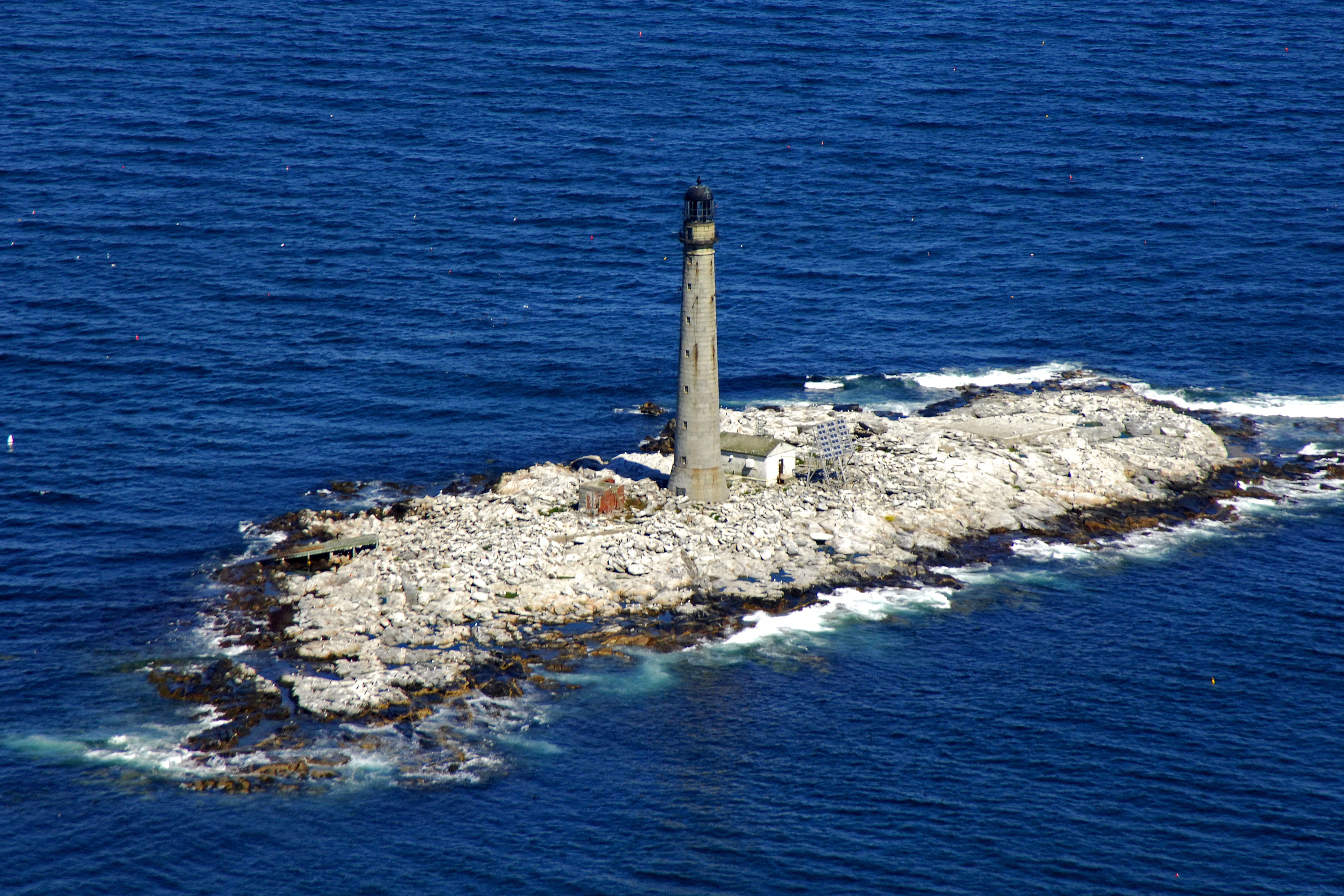
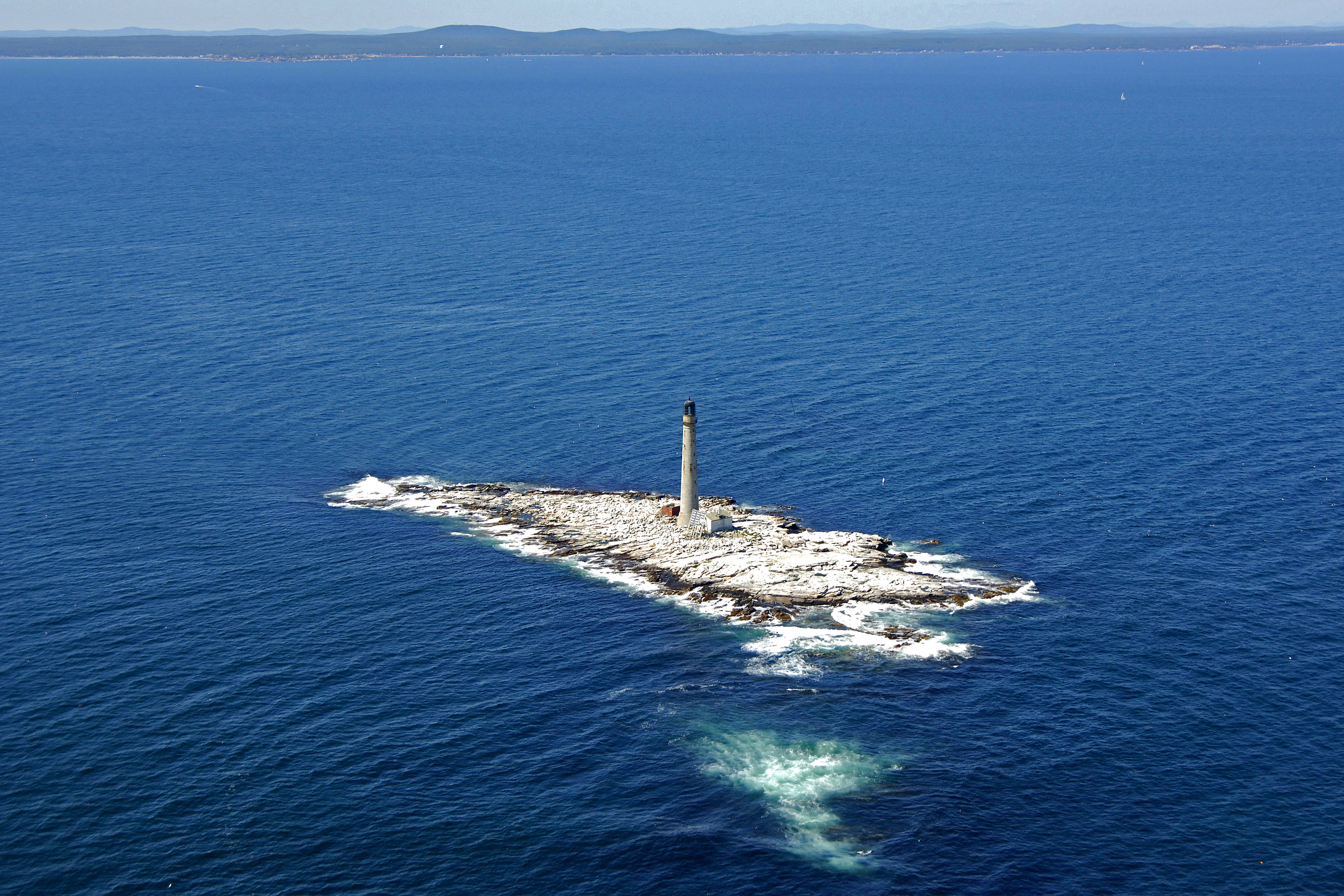
It is best to view this gorgeous lighthouse form the water. Boon Island is wide open to the waves of the Atlantic Ocean and is almost entirely rock, which makes landing here nearly impossible. In addition, the lighthouse is not open to the public.
Introduction:
Located off the coast of York, Maine, Boon Island Lighthouse is a beautiful granite building standing 137 feet about the Atlantic Ocean. The lighthouse uses an acrylic VRB-25 Fresnel lens which flashes a white signal every five seconds, and during fog, a horn blast can be heard every 10 seconds.
History:
The original light station was established here in 1799, and the lighthouse itself was constructed in 1855. The United States Coast Guard automated the light in 1978, replacing the old second order Fresnel lens with a new acrylic VRB-25 lens.
Local Notices to Mariners:
Local Notices to Mariners are available online from the U.S. Coast Guard.