


Oakland Harbor
California United States
Marinas near Oakland Harbor
| Name | Reviews | Max LOA | VHF | Dock Depth | Gas / Diesel | Lift / Crane | Wifi | Amps |
|---|---|---|---|---|---|---|---|---|
| Oakland Marinas at Jack London Square | - | - | - | - | - | - | - | |
| Mariner Square | - | 0.0' | - | Low 0.0 mHigh 0.0' | - | - | - | - |
| D'Anna Yachts Bethel Island Resort Marina | - | - | - | - | - | - | - | - |
| Portobello Marina | - | 65.0' | - | Low 7.0'High 9.0' | - | - | 30 and 50 | |
| Port of Oakland Channel Estuary Park | - | - | - | - | - | - | - | - |
| Fifth Avenue Marina | - | - | - | - | - | - | - | - |
| Bay Ship and Yacht | - | - | - | - | - | - | - | - |
| Safe Harbor Marina Village | 94.0' | 9 | - | - | - | 30/50 | ||
| Oakland Yacht Club | - | - | - | - | - | - | - | - |
| Encinal Yacht Club | - | 0.0' | - | Low 0.0 mHigh 0.0' | - | - | - | - |
| Oakland Marina North Embarcadero Cove | - | - | - | - | - | - | - | - |
| Fortman Marina | - | - | - | - | - | - | - | - |
| Alameda Yacht Club | - | - | - | - | - | - | - | - |
| Grand Marina | 65.0' | - | Low 10.0'High 20.0' | - | LYes | 30/50amps | ||
| The Boatyard at Grand Marina | - | - | - | - | - | - | - | - |
Introduction:
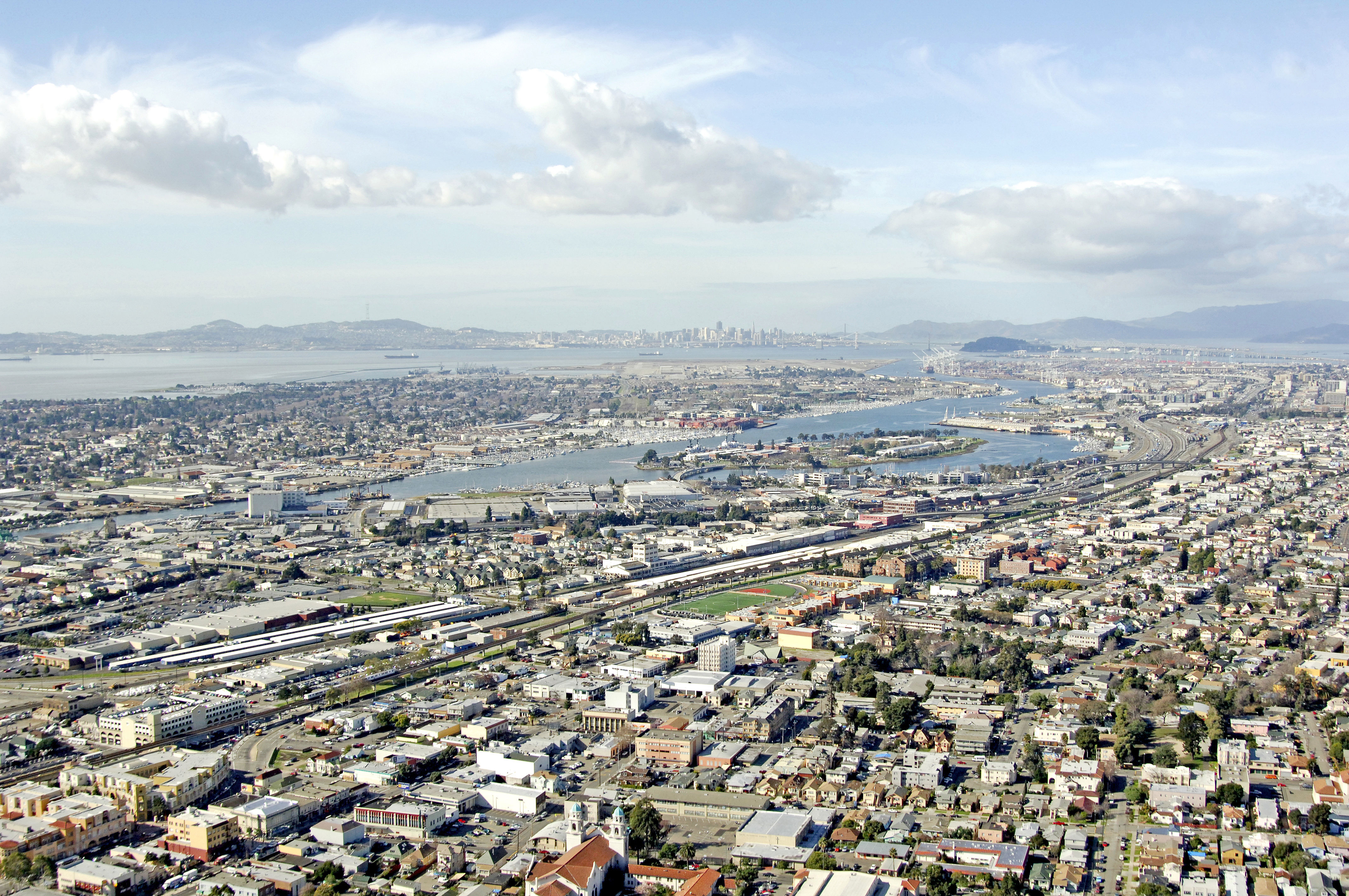
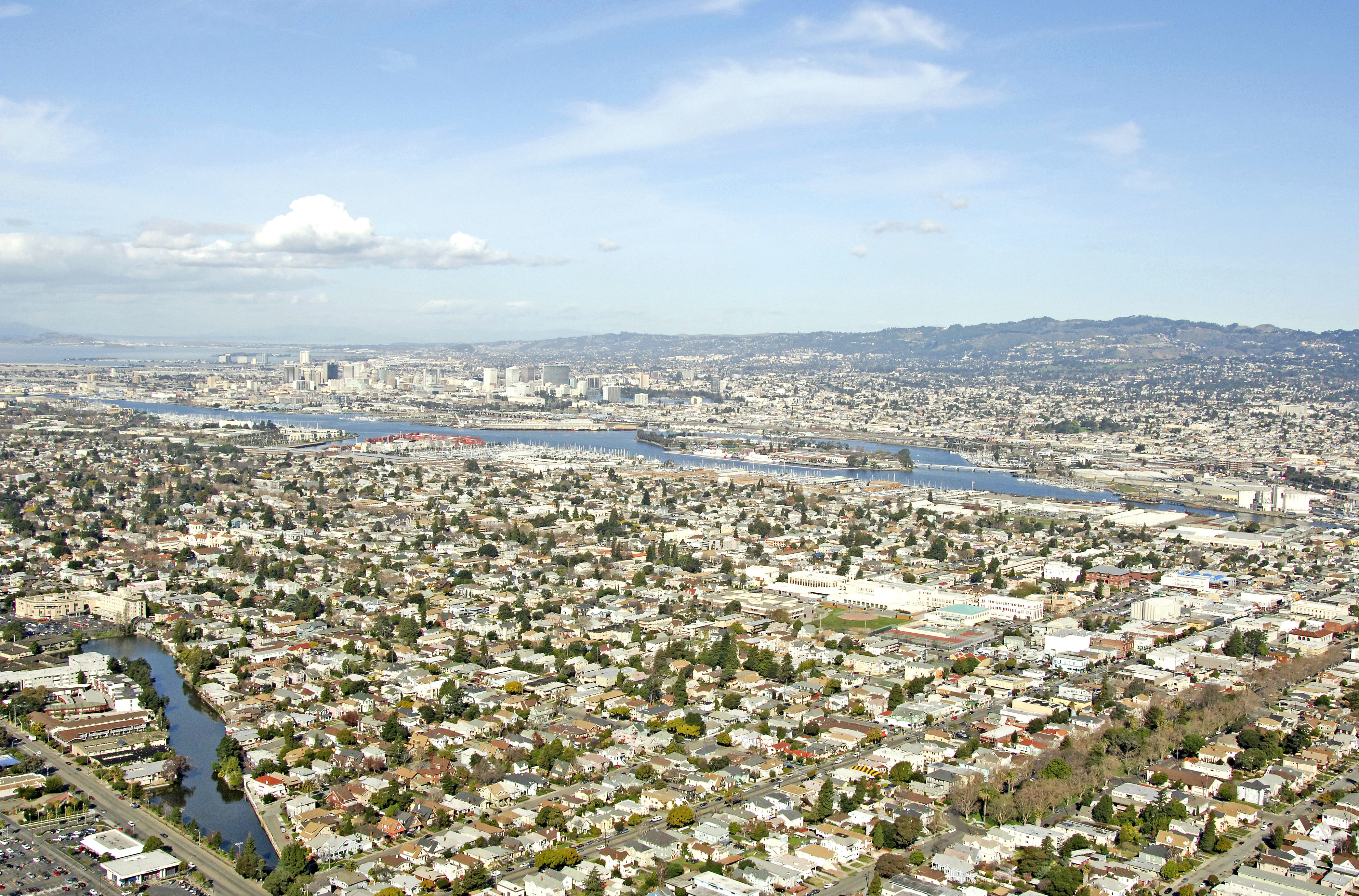
A busy commercial and industrial port, Oakland is located across from Rincon Point where the San Francisco-Oakland Bay Bridge begins toward Verba Buena Island across San Francisco Bay.
Even though Oakland has a reputation for a rough and tough shipping and industrial center, its location to the San Francisco, Berkeley and other bay-area locales makes it a popular stay over point for those cruising the bay. One caveat: marina facilities are limited here, but are available with a good search of the chart. For those more intent on a firm place to stay, Emeryville and Berkeley, both a short hop north have large marinas available.
Navigating the Water:
Use NOAA Chart 18650.
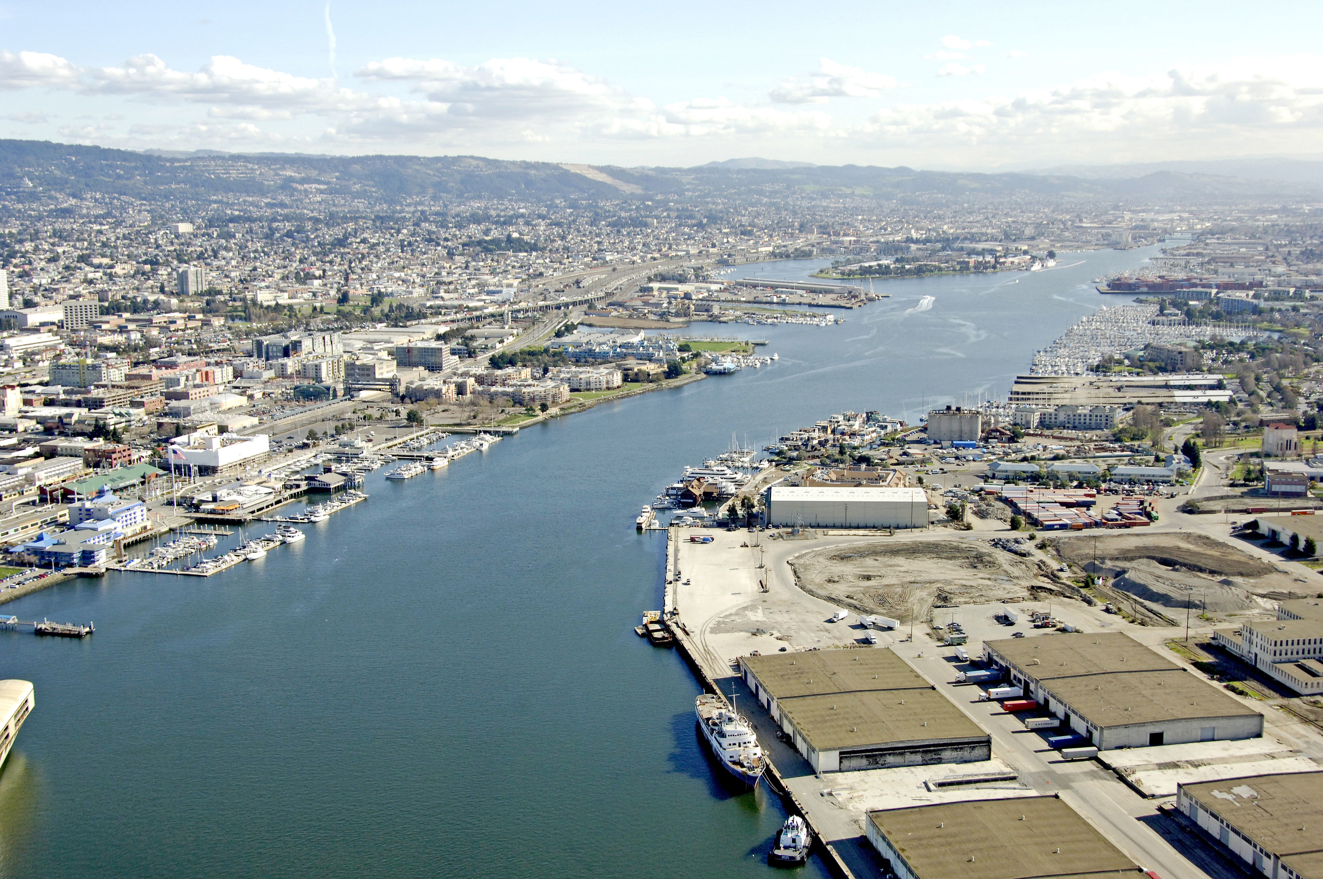
The Oakland Inner Harbor Channel is entered just to the southeast of Vera Buena Island off of Bar Channel. Flashing red 4 marks the bend in the channel toward the Inner Harbor Entrance Channel and is followed by a series of several more flashing buoys as you work into the Harbor Reach.
Grove Street Pier, on the port side working upstream has some marinas available. As with any busy commercial area, the big ships have the right of way, not you. Keep a close watch out and always give way to burdened vessels.
Local Notices to Mariners:
Local Notices to Mariners are available online from the U.S. Coast Guard.