


Vallejo Harbor
California United States
Marinas near Vallejo Harbor
| Name | Reviews | Max LOA | VHF | Dock Depth | Gas / Diesel | Lift / Crane | Wifi | Amps |
|---|---|---|---|---|---|---|---|---|
| Vallejo Yacht Club | - | - | - | - | - | - | - | |
| Vallejo Municipal Marina | - | - | - | G$6.75/galD$6.50/gal | - | 30/50 | ||
| Vallejo Boatworks | - | - | - | - | - | - | - | - |
| Norms Bait & Tackle Vallejo Boat Ramp | - | - | - | - | - | - | - | - |
| Rodeo Marina Inc. | - | 0.0 m | - | Low 0.0 mHigh 0.0' | - | - | - | - |
| Glen Cove Marina | 50.0' | - | Low 10.0'High 0.0' | - | - | 30 | ||
| Benicia Yacht Club | - | - | - | - | - | - | - | - |
| Benicia Marina | 0.0' | - | Low 0.0 mHigh 0.0' | - | - | - | - | |
| Napa Valley Marina | - | 0.0' | - | Low 0.0'High 0.0' | GYesDYes | - | - | - |
| Martinez Marina | - | 0.0' | 16 | Low 0.0 mHigh 0.0' | - | - | - | - |
| San Pablo Reservoir | - | - | - | - | - | - | - | - |
| China Camp State Park | - | - | - | - | - | - | - | - |
| Port of Sonoma Bait Shop and Fuel Dock | - | 0.0 m | - | Low 0.0'High 0.0 m | - | - | - | - |
| Point San Pablo Harbor | - | 0.0' | - | Low 6.0'High 0.0' | - | - | - | 30 |
| Point San Pablo Marina | - | 0.0' | - | Low 0.0 mHigh 0.0' | - | - | - | - |
Introduction:
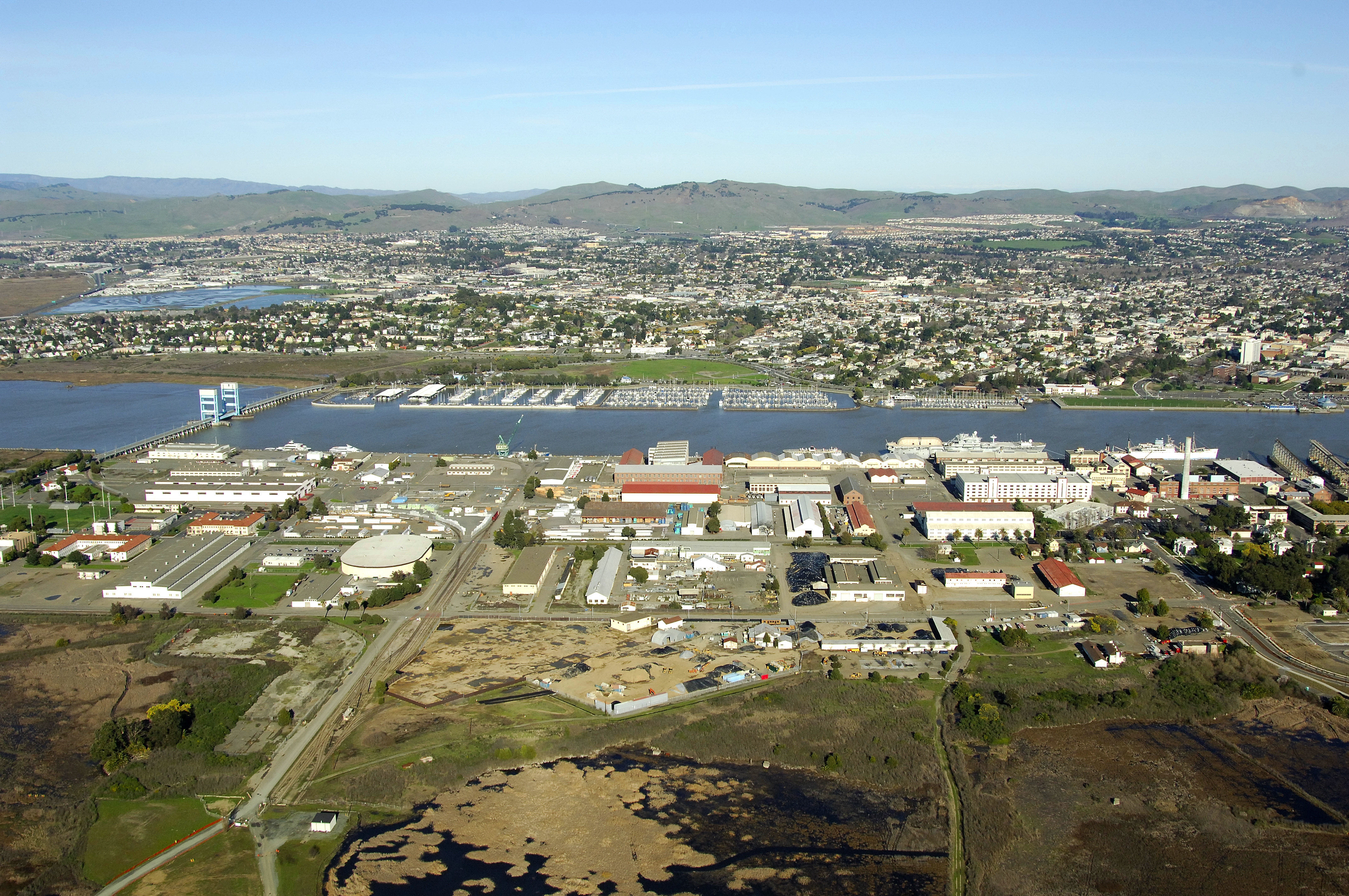
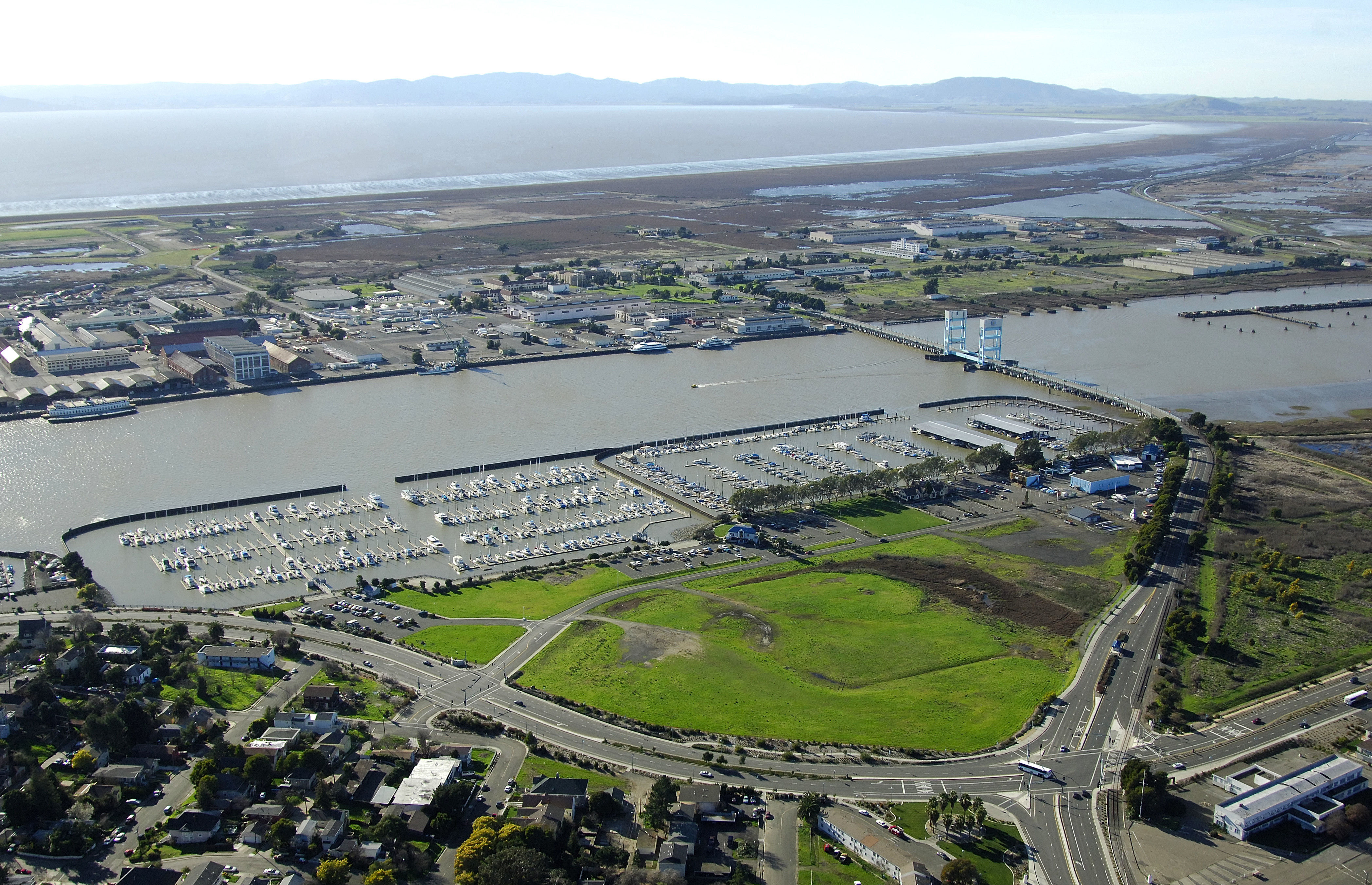
Situated near the mouth of the Napa River and just an average-size journey from San Francisco, Vallejo is the staging area for many boaters planning a cruise up the Napa, San Joaquin or Sacramento Rivers. The town has a very nice and well-equipped marina harbor on the east shore of the river that can handle most any boating need.
Navigating the Water:
Use NOAA Chart 18655.
From off of San Pablo Bay, the opening to Mare Island Strait is marked and bordered by two breakwaters. The east breakwater is marked with flashing red 2, while the west side is marked with flashing green 1. Once inside, follow the well-marked channel to the yacht basin on the on the east shore and find the lighted marker that announce the protected basin.
Local Notices to Mariners:
Local Notices to Mariners are available online from the U.S. Coast Guard.
Helpful Links:
Harbor Reviews
This has been one of the best harbors that I've encountered in the last 2 years the staff in the office were very professional polite and helpful and the workers here are just phenomenal they've helped me and everything I've wanted to do help me with my boat and dockage and the place is clean I would recommend this to anyone that's out there looking for a good Marina