


Sarasota Harbor
Sarasota, Florida United States
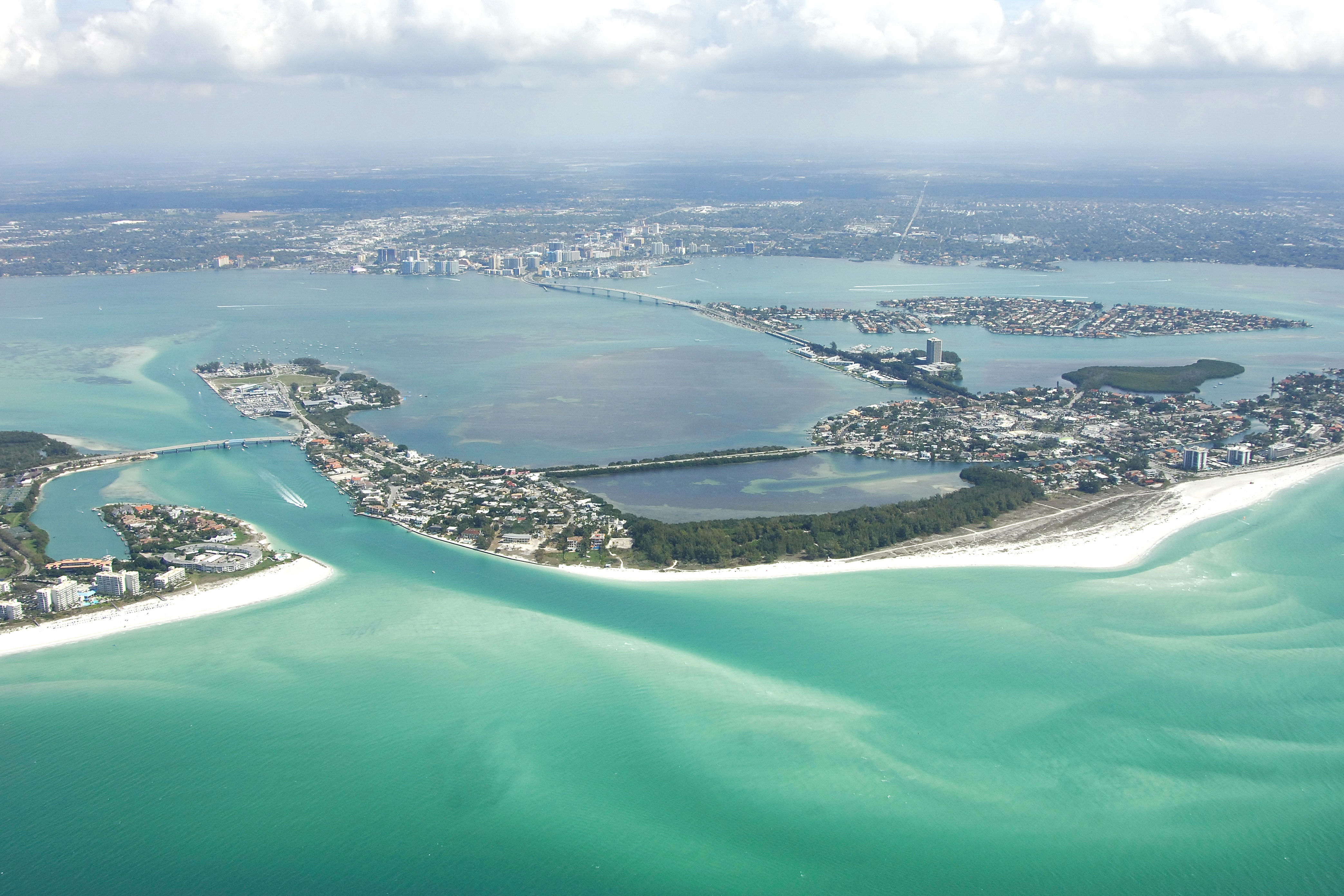
Marinas near Sarasota Harbor
| Name | Reviews | Max LOA | VHF | Dock Depth | Gas / Diesel | Lift / Crane | Wifi | Amps |
|---|---|---|---|---|---|---|---|---|
| Sarasota Bay Mooring Field | 50.0' | 16 | Low 12.0' | G$5.05/galD$4.14/gal | - | - | ||
| Bird Key Yacht Club | - | - | - | - | - | - | - | - |
| Marina Jack Yacht Basin | 200.0' | 16 | Low 10.0' | G$5.05/galD$4.44/gal | - | 30, 50, 100 1ph and 3ph | ||
| Quay Marina | - | 54.0' | - | Low 4.0' | - | - | - | - |
| Sarasota Yacht Club | - | - | - | - | - | - | - | |
| Hyatt Regency Sarasota Resort & Marina | 62.0' | - | Low 5.0' | - | - | - | 30/50 | |
| The Field Club | - | - | - | - | - | - | - | - |
| Sarasota Sailing Squadron | - | - | - | - | - | - | - | - |
| MarineMax Sarasota | - | 0.0' | - | Low 0.0 mHigh 0.0' | - | - | - | |
| New Pass Grill & Bait Shop | - | - | - | - | - | - | - | - |
| Field Club | - | - | - | - | GYesDYes | - | - | - |
| Dry Dock Waterfront Grill | - | - | - | - | - | - | - | - |
| Phillippi Harbor Club | - | - | - | - | GYesDYes | - | - | - |
| Safe Harbor Siesta Key | - | 0.0' | - | Low 0.0 mHigh 0.0' | - | - | - | - |
| CBs Saltwater Outfitters | - | 0.0 m | - | Low 0.0 mHigh 0.0 m | - | - | - | - |
Introduction:
The city of Sarasota is located on Floridas Gulf Coast about 43 miles south of Tampa and 65 miles north of Cape Coral. With its convenient location near Saint Petersburg and Tampa, Sarasota has a myriad of facilities, both ashore and on the water to serve visiting boaters.
Navigation:
Use NOAA Chart 11425.
Sarasota is approached form the Gulf of Mexico via New Pass or Big Sarasota Pass, or from the north and south via the Gulf Intracoastal Waterway. Big Pass is somewhat unreliable, while New Pass has the deeper depths. The Gulf Intracoastal Waterway runs through the area and has project depths of at least six feet in most places.
According to the latest edition of Chart 11425, depths in the New Pass Inlet remain stable at eight feet from flashing green 7 (at the inlet opening) all the way to the Lido Key Bascule Bridge (23-foot closed vertical clearance) across the inlet, and then six feet from the Lido Key Bascule Bridge to the passages intersection with the GIWW near Mile Marker 75. Due to the changing nature of the channel, some buoys May not be charted and are moved as conditions warrant.
Big Sarasota Pass is a different story. As of this writing, many Gulf cruisers were reporting that Big Pass Inlet was almost impassable, due to several shoals encroaching on the main inlet channel. In any event, none of the buoys on Big Sarasota Pass are charted, as they are moved when conditions are warranted.
Along the GIWW, there are a few bridges that run across the route, and their schedules vary. The Ringling Causeway crosses the route at Golden Gate Point, and it has a 66-foot fixed vertical clearance.
The majority of the marina facilities are situated around Mile Marker 75, both on the mainland side and also near St. Amands, Lido and Coon keys.
Local Notices to Mariners:
Local Notices to Mariners are available online from the U.S. Coast Guard.