


Little Cayman Island Harbor
Cayman Islands
Marinas near Little Cayman Island Harbor
| Name | Reviews | Max LOA | VHF | Dock Depth | Gas / Diesel | Lift / Crane | Wifi | Amps |
|---|---|---|---|---|---|---|---|---|
| Paradise Villas Resort | - | - | - | - | - | - | - | - |
| Harbour House Marina | - | - | - | - | - | - | - | - |
| Sailing Club | - | 0.0 m | - | Low 0.0 mHigh 0.0 m | - | - | - | - |
| Morgans Boat Service | - | - | - | - | - | - | - | - |
| Barcadere Marina | - | 130.0' | - | Low 0.0 mHigh 0.0' | GYesDYes | LYes | 30, 50, 100 | |
| Scotts Marine | - | - | - | - | - | - | - | - |
| Marlin Marina Jardines de la Reina | - | - | - | - | - | - | - | - |
| Marlin Marina Trinidad | - | - | - | - | GYesDYes | - | - | - |
| Montego Bay Yacht Club | - | - | 16 | Low 6.0' | GYesDYes | - | - | - |
| Montego Bay Marine Park | - | - | - | - | - | - | - | - |
| Marlin Marina Cayo Largo | - | 16 | - | GYesDYes | - | - | - | |
| Marlin Marina Cienfuegos | - | - | 19 | - | GYesDYes | - | - | - |
| Trelawny Marine Service | - | - | - | - | - | - | - | - |
| Caribatik Marina | - | - | - | - | - | - | - | - |
| Lagoon Hotel & Marina | - | 0.0 m | - | Low 0.0 mHigh 0.0 m | - | - | - | - |
Introduction:
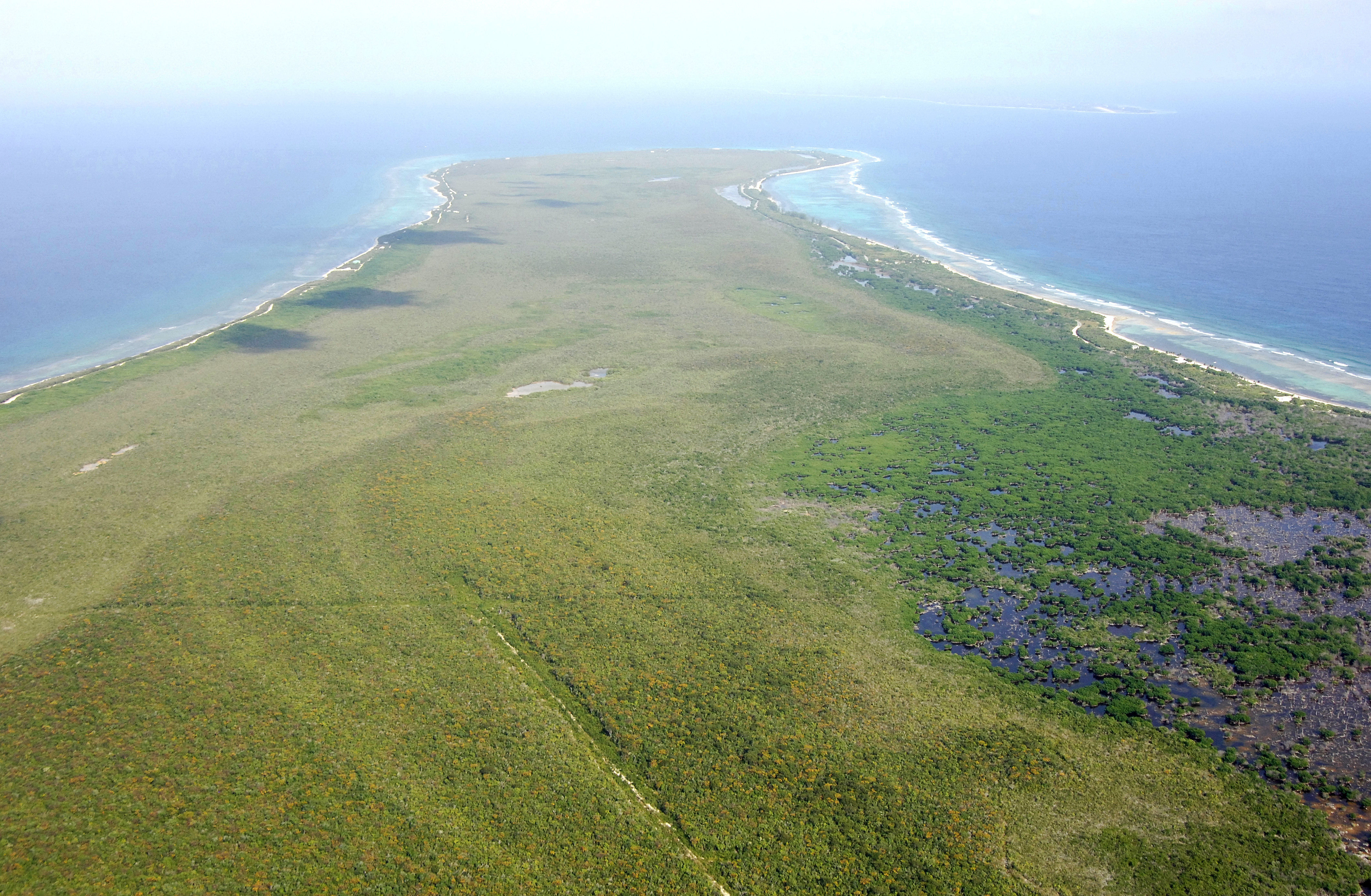
Just 10 miles long and one mile wide, Little Cayman Island, as the name suggests, is the smallest member of the Cayman Islands chain. Located around 69 miles northeast of Grand Cayman Island and only four miles west of Cayman Brac, Little Cayman Island is fairly undeveloped in a yachting sense, but a paradise to vacationers and divers, having some of the nicest resorts in the Caymans for relaxing, and world-class reefs for the scuba and snorkeling set to explore.
History:
Christopher Columbus discovered Little Cayman Island in 1503. Today it is an overseas territory of the United Kingdom.
Navigating the Water:
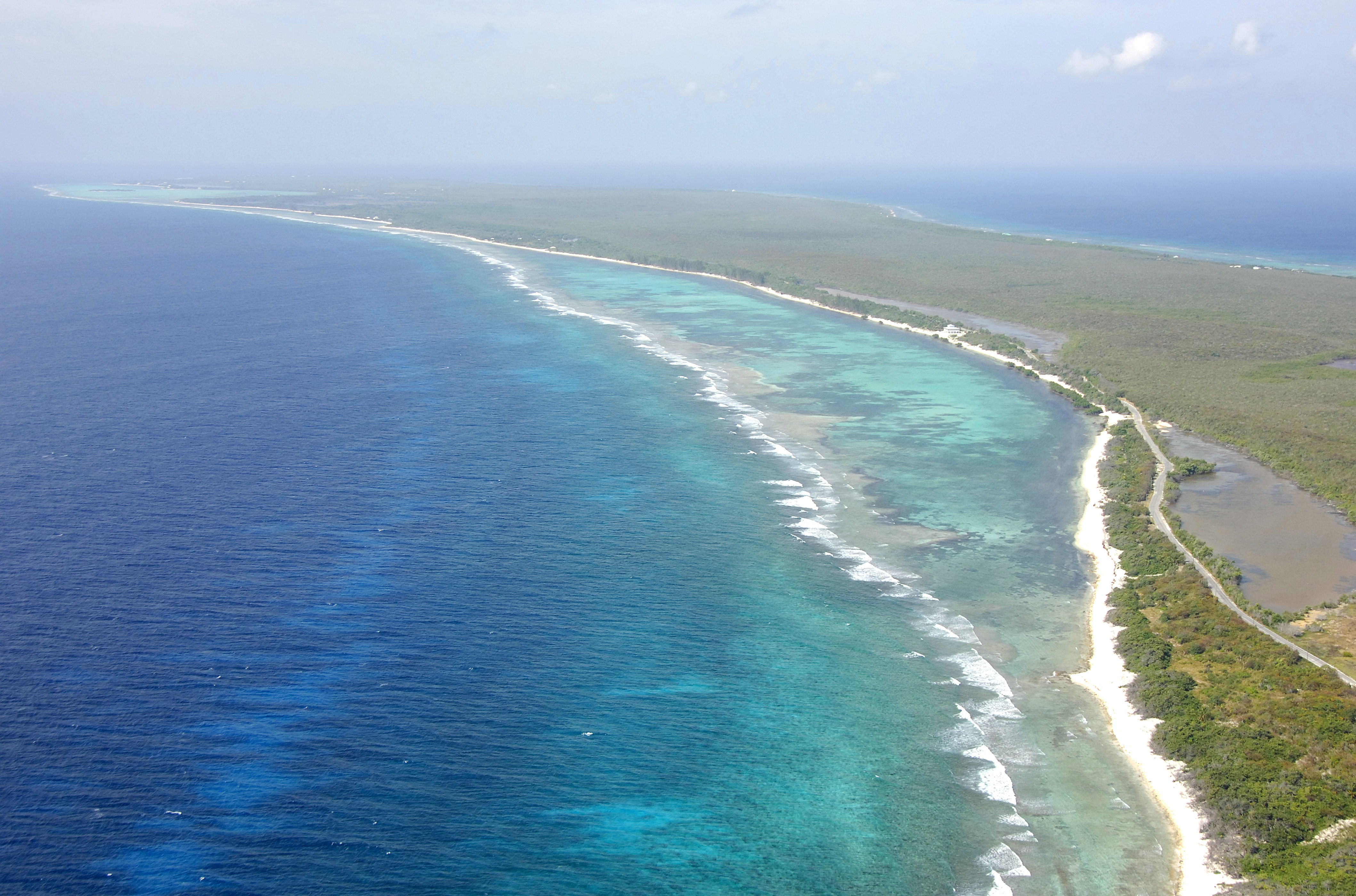
The main yachting harbor in Little Cayman Island is South Hole Sound, which is located on the southwest side of the island. The view above is from the east, looking over East Point and farther toward the far west end of the island. South Hole Sound is visible to the left (south) side of the island just near the horizon above. The area around East Point (shown above) is far too shallow and exposed for anchorage.
South Hole Sound is approached from the south via a narrow, six-foot-deep entrance on the southwest side of South Hole Sound itself. From the south (coordinates N19 38.995 W80 04.719), set a course of around 22 degrees true to line yourself up with the opening in the reef, which is about a half-mile away . As you get closer, set yourself up for the opening, keeping an eye on your depth sounder and head on in.
Once inside, you will find varying depths of three to six feet. Depths shallow quickly to the east, and most cruising boaters do not pass beyond Owens Island and Blossom Point. There is a line of rocks just to the east of the entrance; keep and eye out for these. Most shoal-draft cruisers anchor out offshore of the local docks in three- to six-foot depths over a sand bottom. Do not attempt the inlet in severe weather, or when the wind is clocking out of the south.
Local Notices to Mariners:
See our Local Notices to Mariners blog for updates on the latest conditions and advisories for this area.
Helpful Links:
Cayman Islands Department of Tourism