Dewey Harbor
Dewey, Puerto Rico
Marinas near Dewey Harbor
| Name | Reviews | Max LOA | VHF | Dock Depth | Gas / Diesel | Lift / Crane | Wifi | Amps |
|---|---|---|---|---|---|---|---|---|
| Coral Dock | - | - | - | - | - | - | - | - |
| Dewey Boatyard | - | 0.0 m | - | Low 0.0 mHigh 0.0 m | - | - | - | - |
| Cayo Obispo Yacht Club | - | - | - | - | - | - | - | - |
| Cayo Obispo Marina | - | 0.0 m | - | Low 0.0 mHigh 0.0' | - | - | - | - |
| El Conquistador Beach Resort and Marina | - | 0.0' | - | Low 0.0 mHigh 0.0 m | - | - | - | - |
| Marina Sardinera | - | - | - | - | - | - | - | - |
| Veradero Fajardo Boatyard | - | 0.0 m | - | Low 0.0 mHigh 0.0 m | - | - | - | - |
| Naval Base Yacht Club | - | - | - | - | - | - | - | - |
| Safe Harbor Puerto Del Rey | 180.0' | 71 | Low 0.0 mHigh 0.0' | G$2.75/galD$2.19/gal | LYes | - | ||
| Sunbay Marina | 0.0' | - | Low 0.0 mHigh 0.0 m | GYesDYes | - | - | - | |
| Marina Puerto Chico | 0.0 m | - | Low 0.0 mHigh 0.0 m | - | - | - | - | |
| The Reserve at Marina Puerto Chico | - | - | - | - | - | - | - | - |
| Villa Marina | - | - | - | - | - | - | - | - |
| Crown Bay Marina | - | - | - | - | - | - | - | |
| Frenchtown Harbor Marina | - | 180.0' | - | Low 0.0 mHigh 0.0' | - | - | - | - |
Introduction:
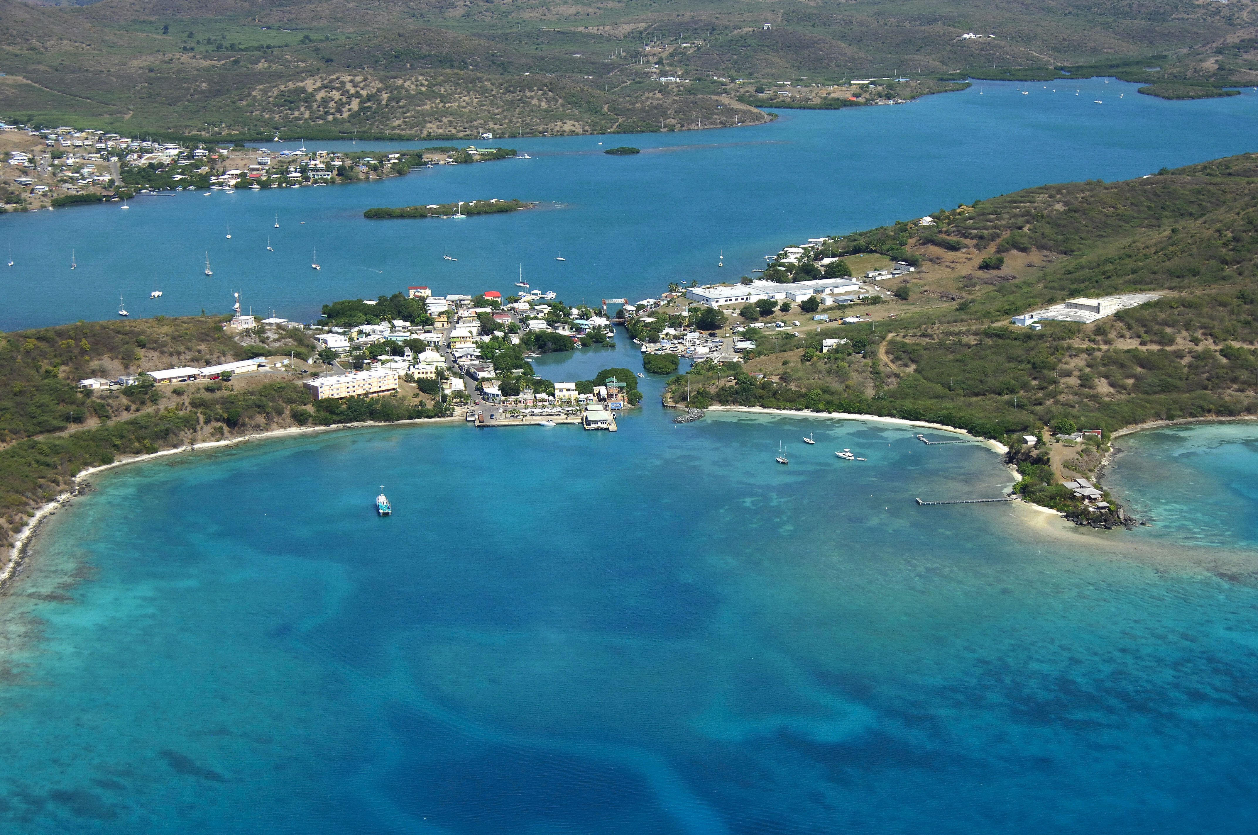
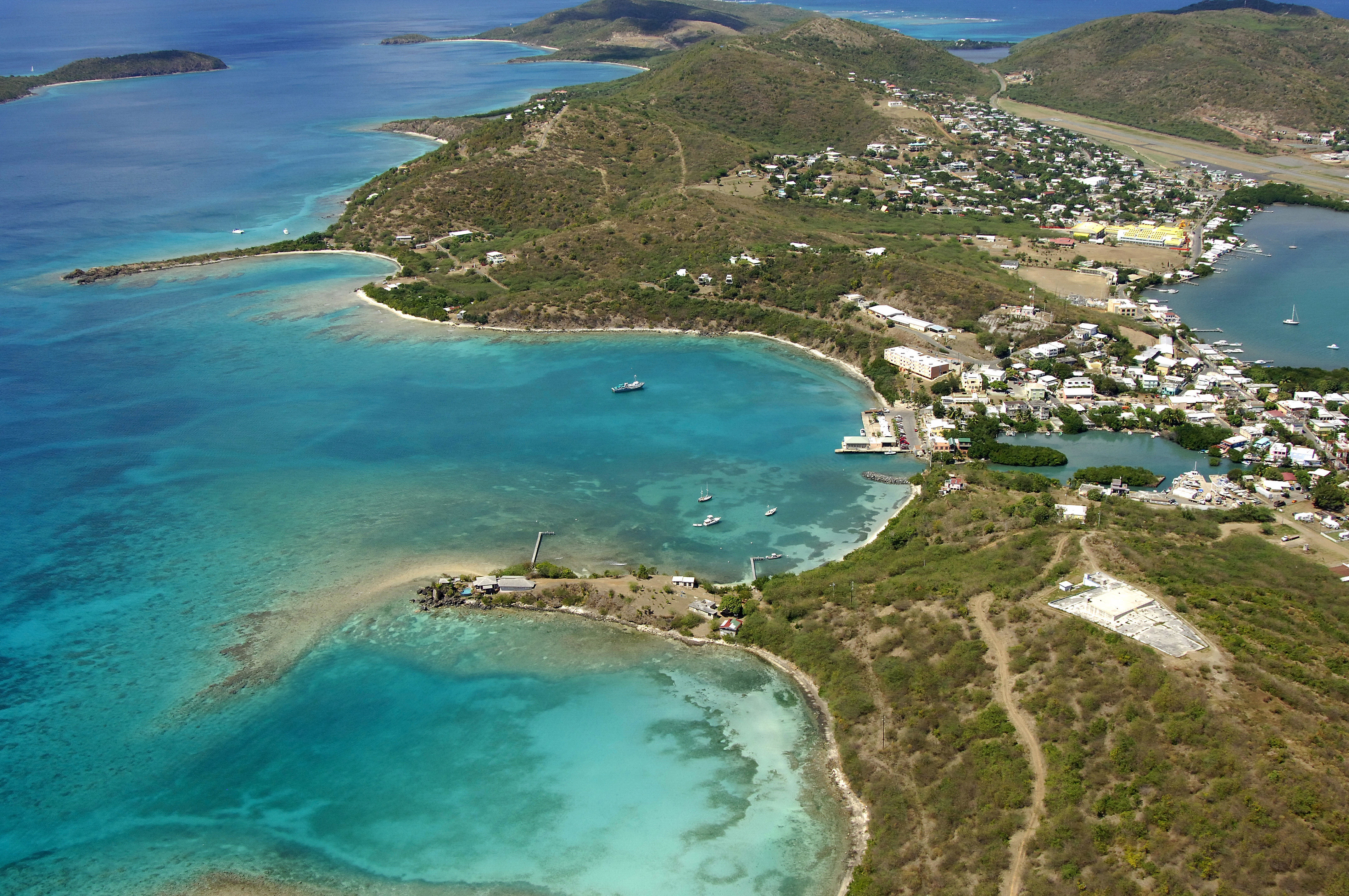
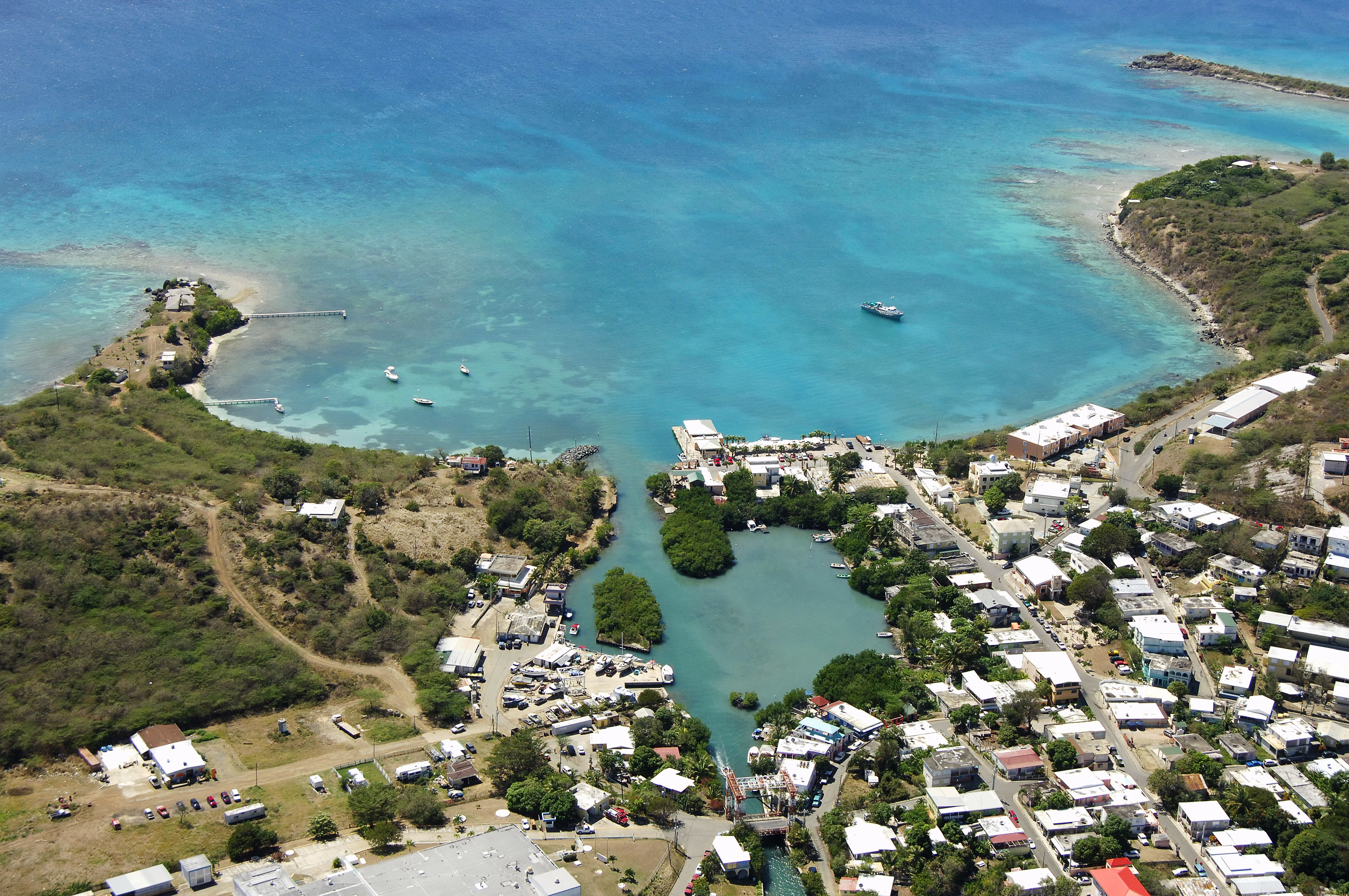
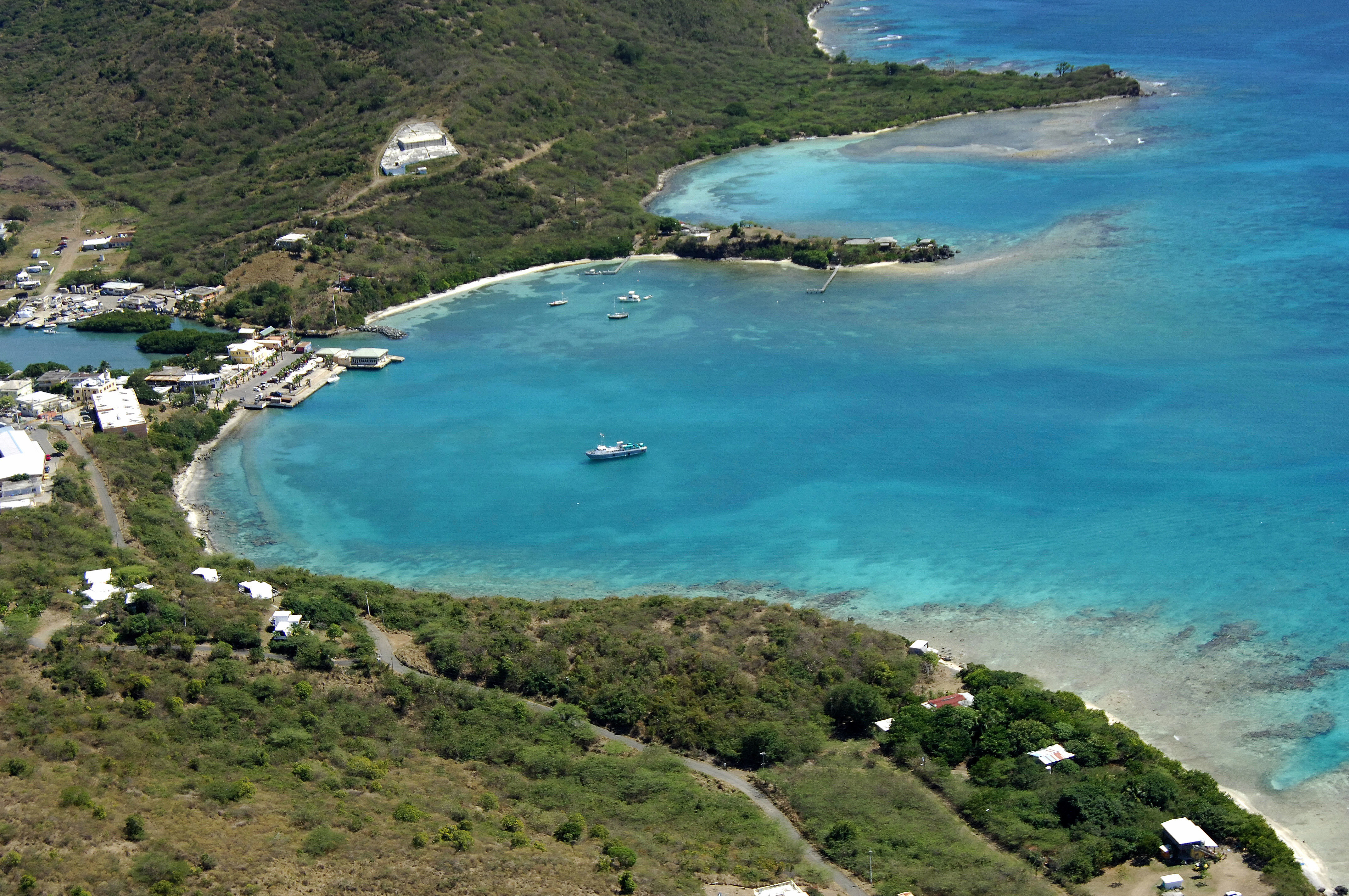
The town of Dewey (named after the famous Admiral) is located on the Island of Culebra, which is an independent municipality of Puerto Rico. Dewey is the capital of Culebra, and as such, you will find a wide variety of excellent services here, both ashore and shoreside. The island of Culebra is located 23 miles west of Saint Thomas, 18 miles northeast of the island of Ceiba, and 50 miles east of San Juan.
History:
Christopher Columbus was the first visitor to the island in 1493, but the island was originally populated by Taino Indians. Today, the island is an independent municipality with its own democratically elected government.
Navigating the Water:
Dewey is easily appraoched from the southwest from a passage south of Cayo de Luis Pena (Luid Pena Key). You will first set a course for Sardinas Bay, which lies between Melones and Maguey points, on the northwest and southeast corners of the bay, respectively.
Inside Sardinas Bay, there are a couple of anchorages that are open to north winds, but they are quite reasonable during winds out of any other direction. If you do anchor in Sardinas Bay, be sure not to block the local ferry boat terminal on the northwest side of the harbor inlet.
Local Notices to Mariners:
See our Local Notices to Mariners blog for updates on the latest conditions and advisories for this area.