Circus/Tamiami Trail Bascule Bridge


Details
| Bridge type | Bascule |
| Closed vertical clearance | 25' |
| Vhf | 9 |
| Schedule | Opens on request. |
| Comments | Watch height boards for clearance. |
About
Introduction:
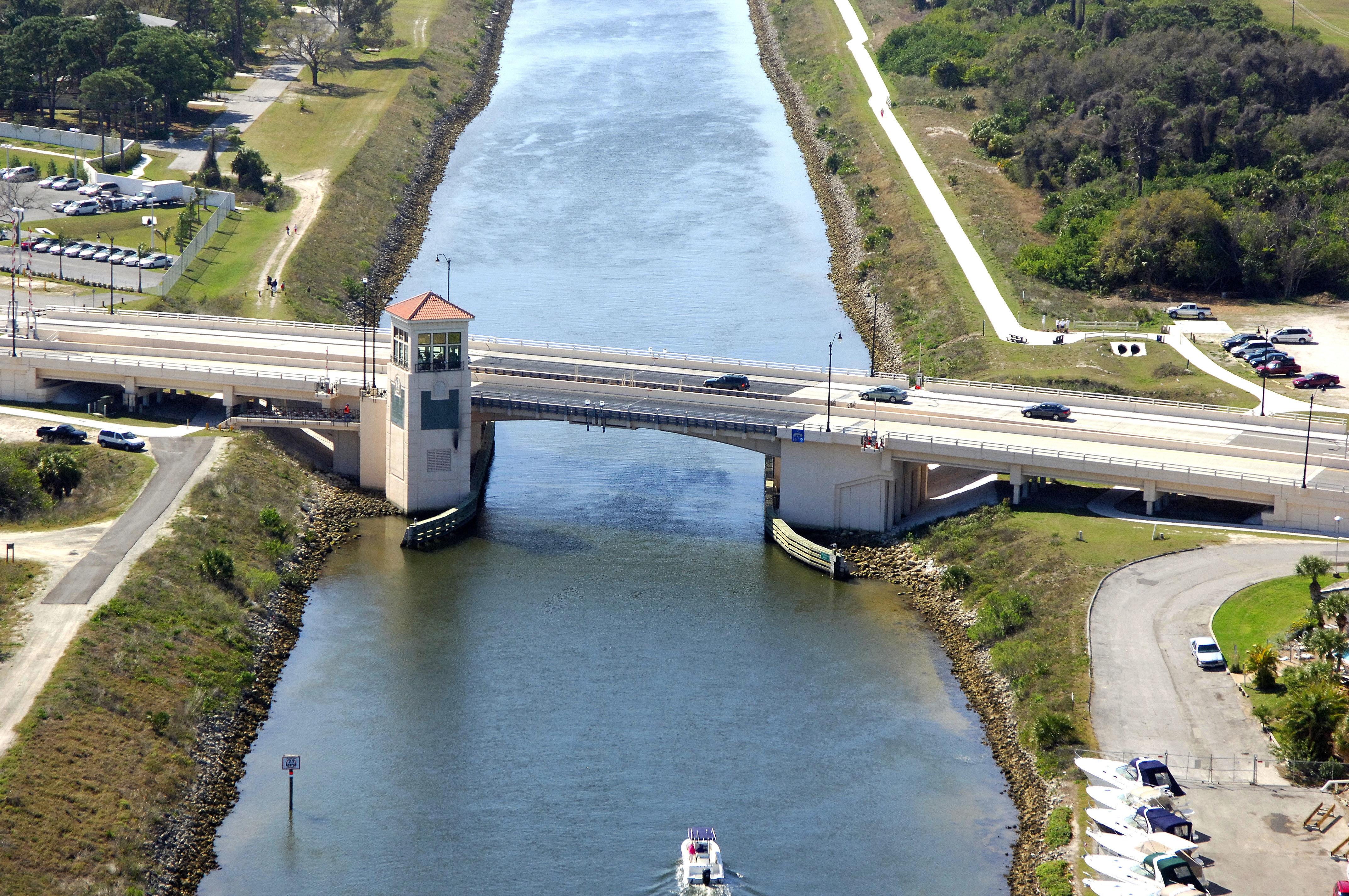
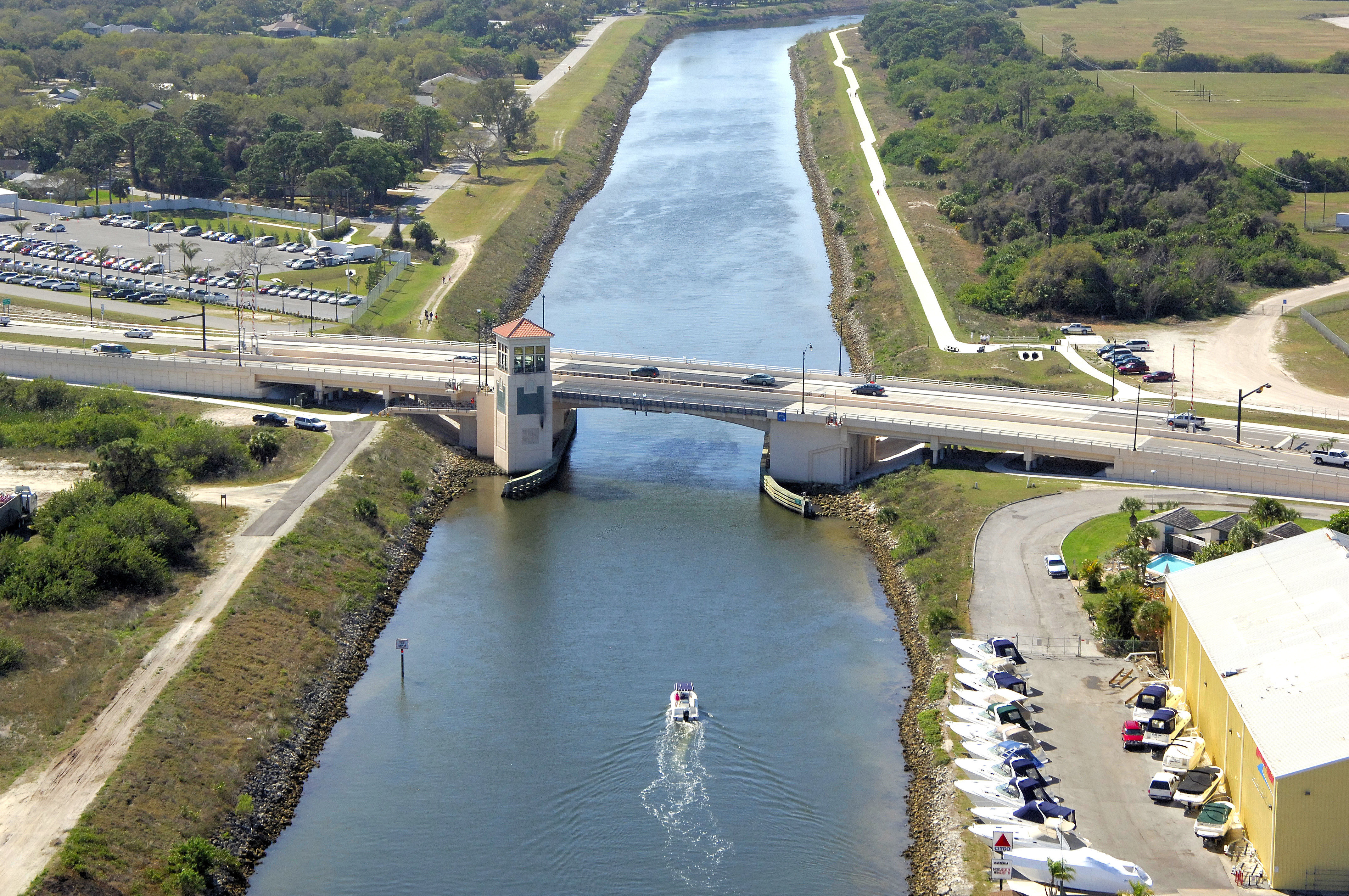
Located exactly at Gulf Intracoastal Waterway Mile Marker 55.0, the Tamiami Trail Bascule Bridge is the first opening bridge you will encounter on a northward passage through Venice.
Navigating the Bridge:
Use NOAA Chart 11425.
The bridge has a closed vertical clearance of 25 feet with 90 feet of horizontal clearance in the center span.
Approaching from the south or north, the bridge lies in the middle of a very narrow cut, with no aids to navigation; project depths are four to five feet. Simply keep yourself planted in the middle to avoid any contact with the bottom.
Bridge Schedule:
This bridge opens on signal at all times.
The bridge can be opened by horn signal (one long, one short) or by hailing the bridge tender on VHF Channel 09. (All bridges in the state of Florida must be hailed on VHF Channel 09.)
Local Notices to Mariners:
Local Notices to Mariners are available online from the U.S. Coast Guard.