Pinellas Bayway Bascule Bridge Span "E"
| Saint Petersburg, Florida United States | |
| 27° 41' 17.16'', -82° 42' 59.04'' | |
| St. Pete Beach |

You might also consider...


Details
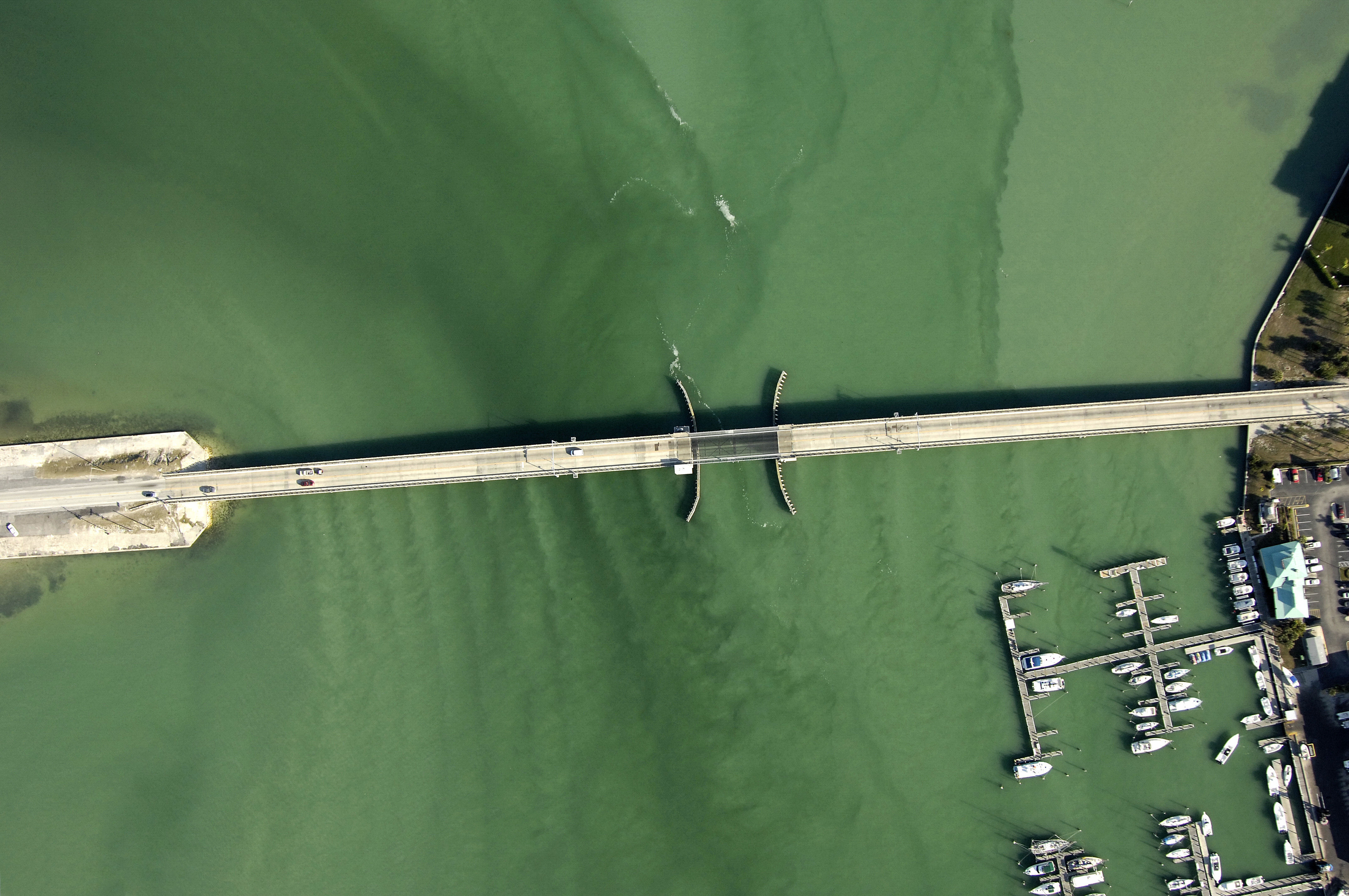
| Bridge type | Bascule |
| Closed vertical clearance | 25' |
| Vhf | 9 |
| Schedule | Weekdays opens on hour and half-hour except 2-6 PM on Friday. Weekends on hour and half-hour. Otherwise, on demand. |
About
Introduction:
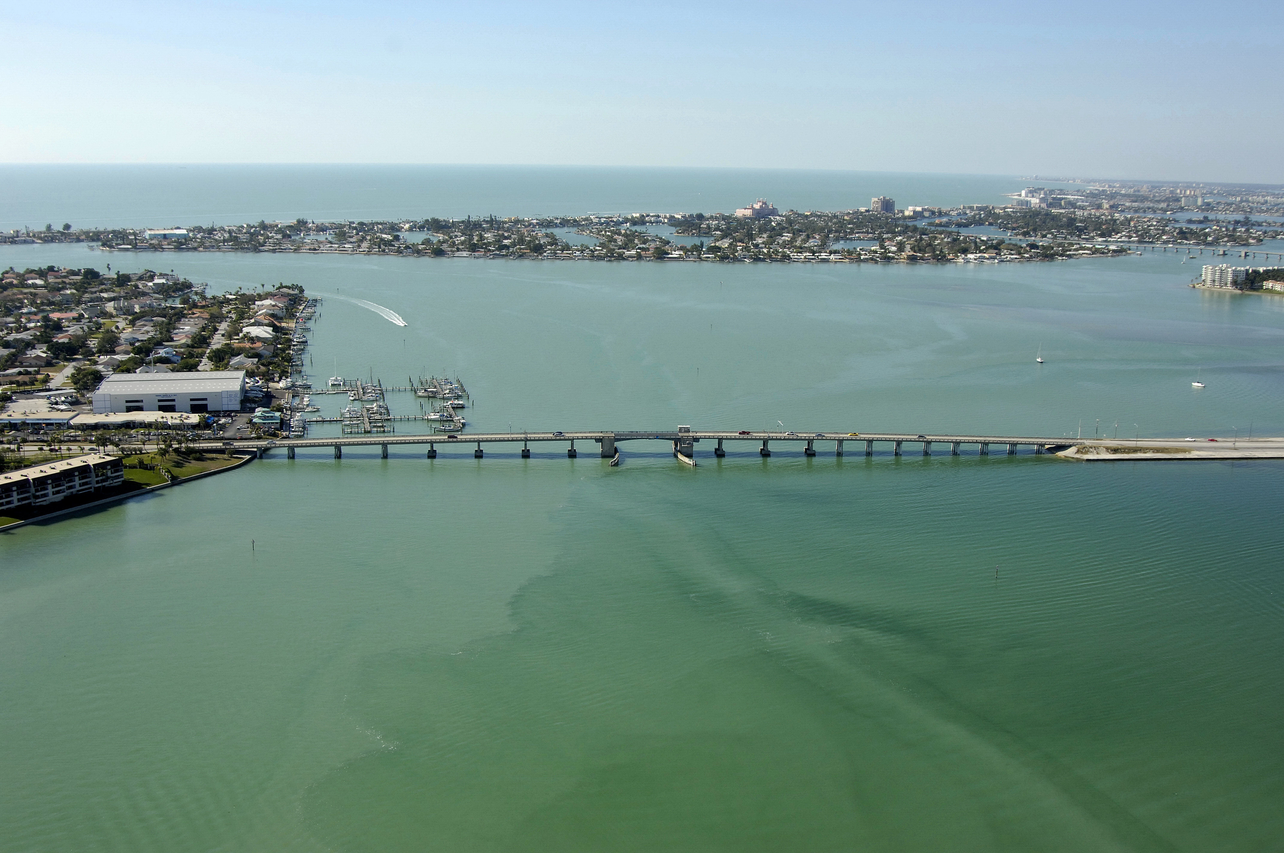
This section of the Pinellas Byway carries Saint Petersburg traffic to Cabbage Key on state Route 679 at GIWW Mile Marker 112.8. One of many bridges that crisscross Boca Ciega Bay, this bridge is the southern most in Boca Ciega Bay.
Navigating the Bridge:
Use NOAA Chart 11411.
Although heavily influenced by strong currents around the Pass-a-Grille Channel, the Main Channel in Boca Ciega Bay is generally deep and wide, sporting 17- to 20-foot depths in most places from Maximo Point to Corey Causeway.
Bridge Schedule:
The bridge operates on a restricted opening schedule. Year-round, on weekends and Federal Holidays, from 9 a.m. to 6 p.m., the bridge opens on the hour, and every 15 minutes thereafter. The bridge opens on demand at all other times.
Depending on schedule, the bridge can be opened by horn signal (one long, one short) or by hailing the bridge tender on VHF Channel 09. (All bridges in the state of Florida must be hailed on VHF Channel 09.)
Local Notices to Mariners:
Local Notices to Mariners are available online from the U.S. Coast Guard.