Gloucester Inner Harbor Inlet
| Gloucester, Massachusetts United States | |
| 42° 36' 26.99'', -70° 39' 43.92'' | |
| Gloucester Harbor |


You might also consider...


About
Introduction:
Gloucester is a major fishing village about 25 miles northeast of Boston that also has a decent array of recreational boating services available for the cruising mariner. Gloucester was made famous by the book and movie "The Perfect Storm," which told he tale of the Andrea Gale, a swordfishing boat lost out of Gloucester with all aboard in 1991. The town has a warm and typically northeastern feel to it, and is interesting to explore from shore.
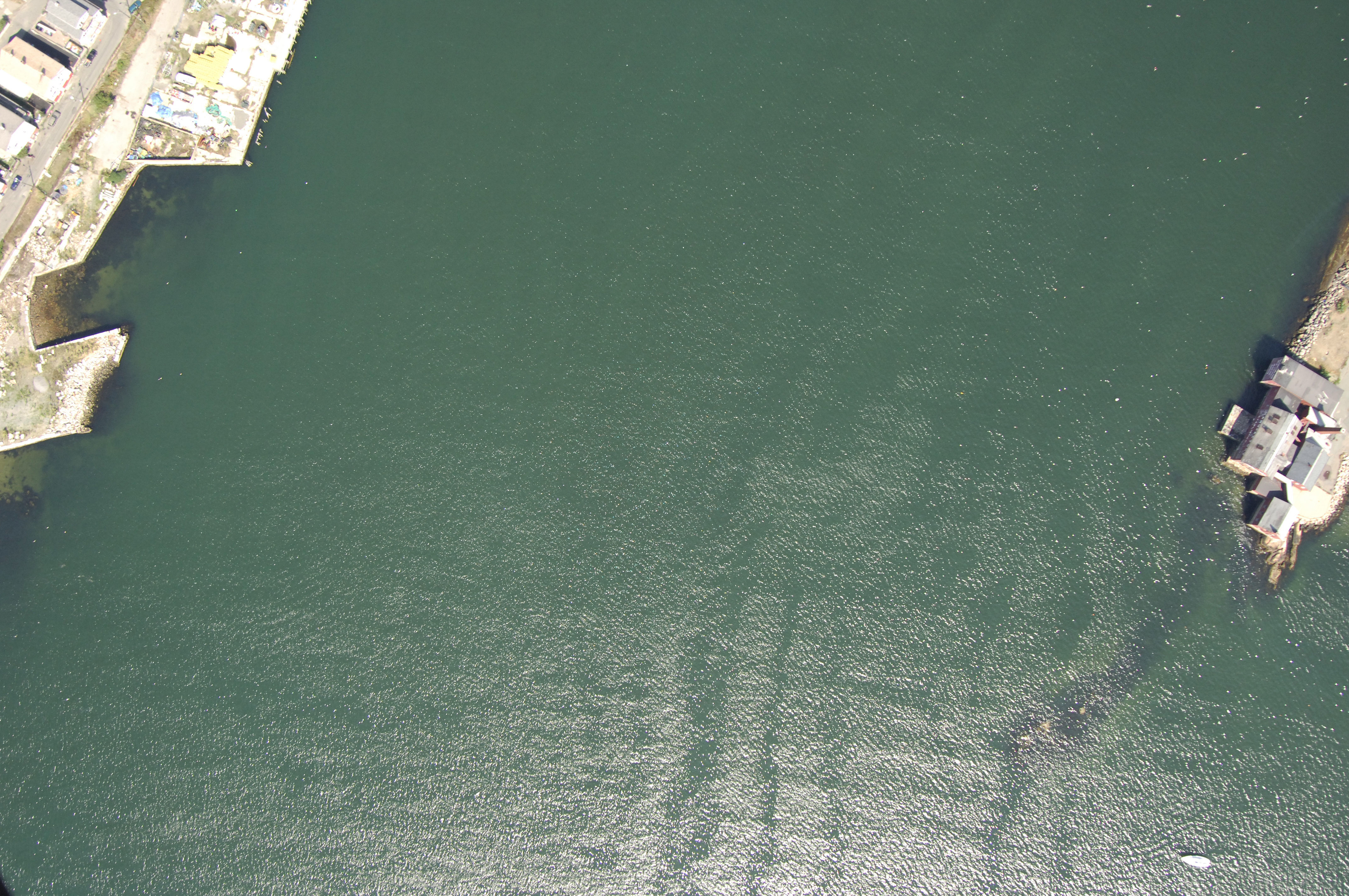
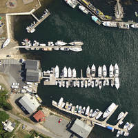
Most of the marine facilities here are located in Smith Cove, which breaks off Gloucester Inner Harbor to the east behind Rocky Neck.
Navigating the Water:
Use NOAA Chart 13279.
Harbor Cove and the other branches of the Inner Harbor are reached via a passage up Gloucester Harbor from the Atlantic Ocean. From the Atlantic, set a course for flashing red and green buoy "RR," just west of the Gloucester Breakwater Light. From here, you can either pass through Dog Bar Channel, which runs between Round Rock Shoal and the Gloucester Breakwater (20-foot depths, well marked), or if you are a bit skittish, you can travel around Round Rock Shoal to the west, and then make your course for Tenpound Island Ledge south of Gloucester.
Tenpound Ledge is marked by red nun "6" at its southern end. From red nun "6," you will proceed northeastward to red nun "8," marking Mayflower Ledge, and then to flashing green buoy "11" west of Rocky Neck. The Gloucester Entrance Channel has a width of 300 feet and 18.5-foot depths.
Once you have entered the channel leading to Gloucester, set a course for red and green nun buoy "GH," which leads you into the middle of the South Channel and on to the Inner Harbor at green can "3."
Local Notices to Mariners:
Local Notices to Mariners are available online from the U.S. Coast Guard.