Scarborough River Inlet
| Scarborough, Maine United States | |
| 43° 32' 27.96'', -70° 19' 36.11'' | |
| Saco River at Camp Ellis |


You might also consider...


About
Introduction:
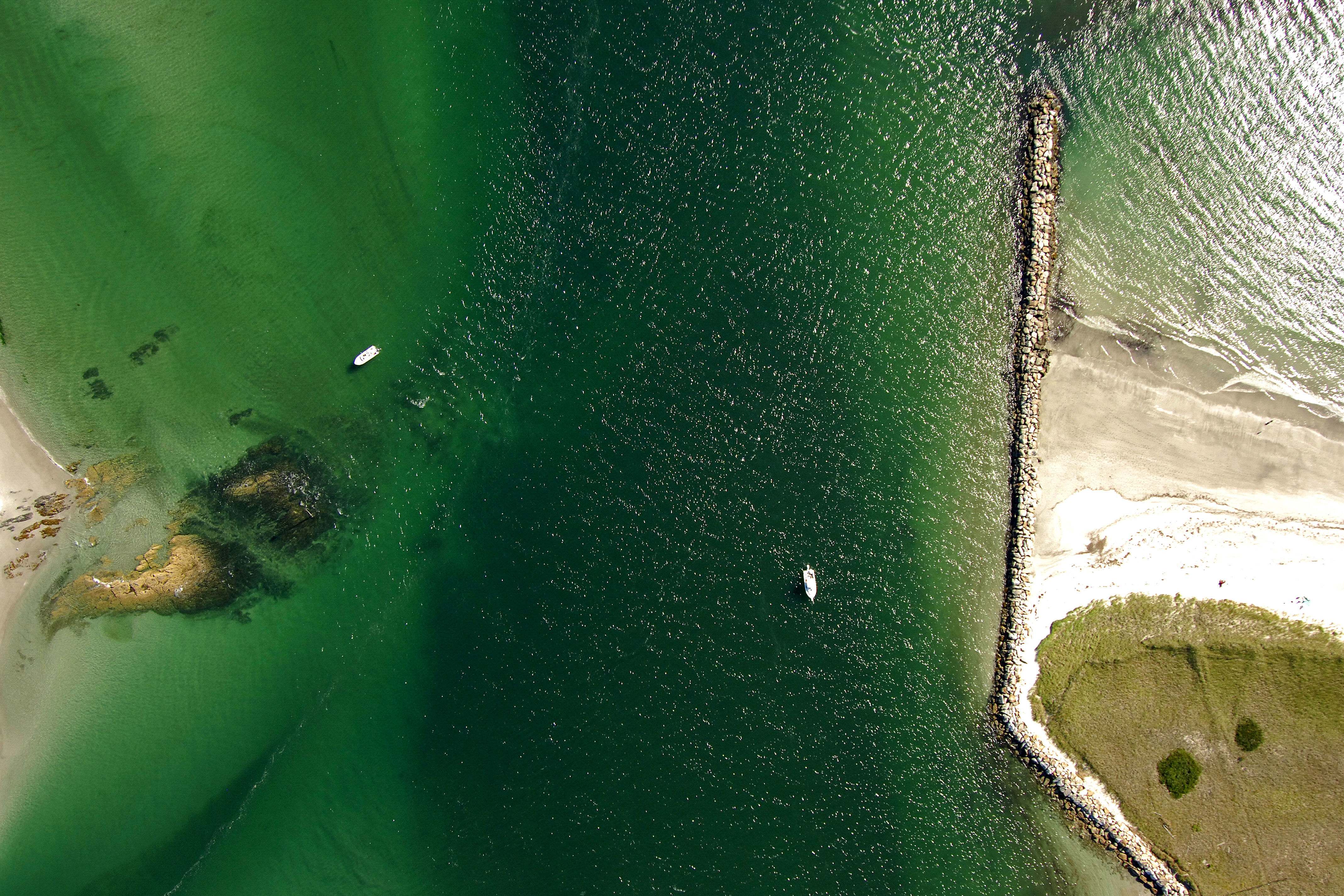
Eight miles west of Cape Elizabeth and seven miles north of Biddeford Pool off Saco Bay, the Scarborough River Inlet is tucked behind Prouts Neck, and offers limited anchorage and mooring possibilities with shallow depths of four to six feet. The opening here has extremely variable depths, and caution should be used when entering, especially with an east wind against an outgoing tide.
Navigating the Water:
Use NOAA Chart 13287.
Green can 1 marks the beginning of the entrance to the Scarborough River Inlet just behind Prouts Neck. From here, follow in red nun 2SR, green can 3, red nun 4 and then red daybeacon 6 past the breakwater at Pine Point. Anchorages and moorings line both sides of the shallow river channel with decent holding in sand.
Local Notices to Mariners:
Local Notices to Mariners are available online from the U.S. Coast Guard.