Dana Point Harbor Inlet
| California United States | |
| 33° 27' 18.01'', -117° 41' 42.0'' | |
| Dana Point |

You might also consider...


About
Introduction:
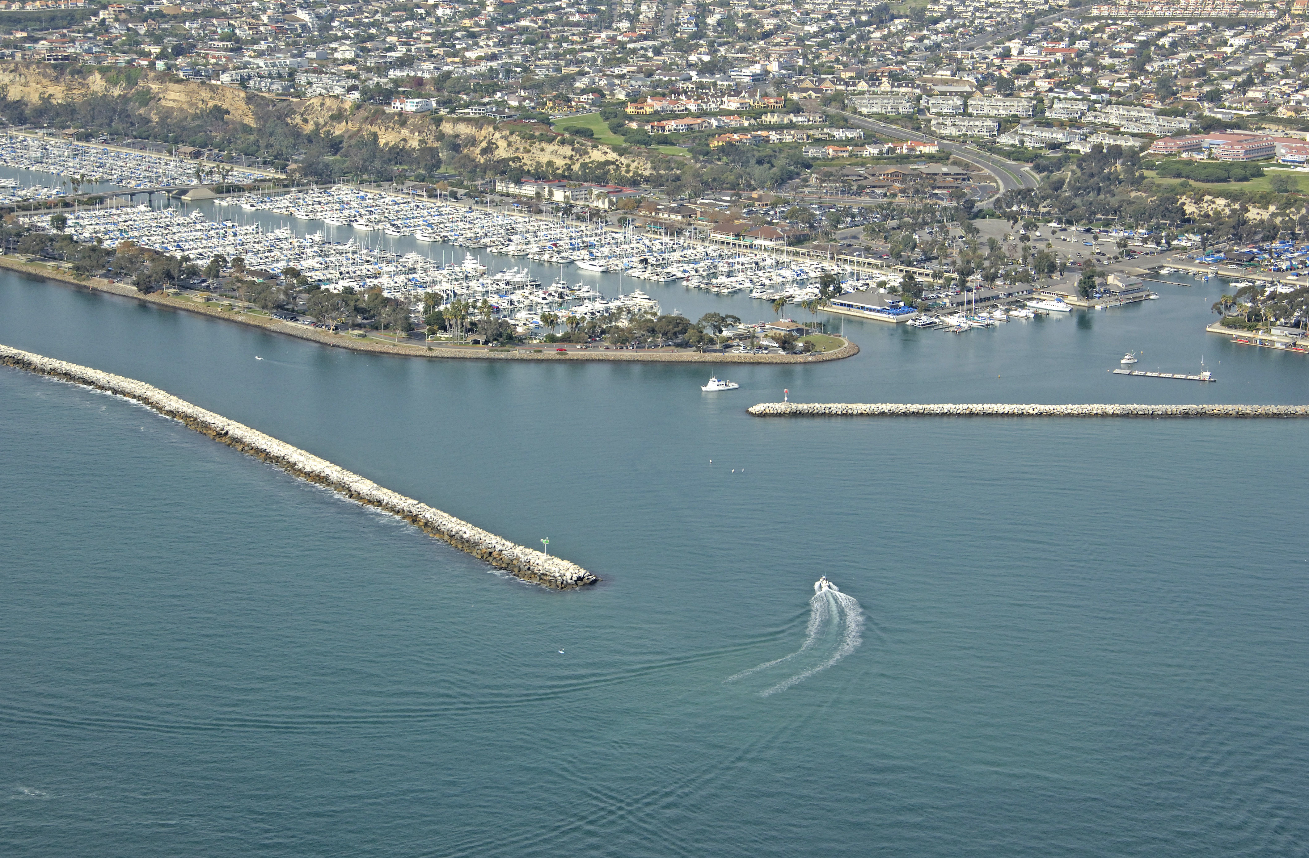
Dana Point juts out into the Pacific Ocean about eight miles from Newport Beach to the north, and has a well protected harbor area that is extremely popular with visiting boaters. Dana Point itself sits west of the inlet and is immediately noticeable by its bold, cliff-like appearance, which is in contrast to the smooth sandy beaches so typical of this area.
Navigating the Water:
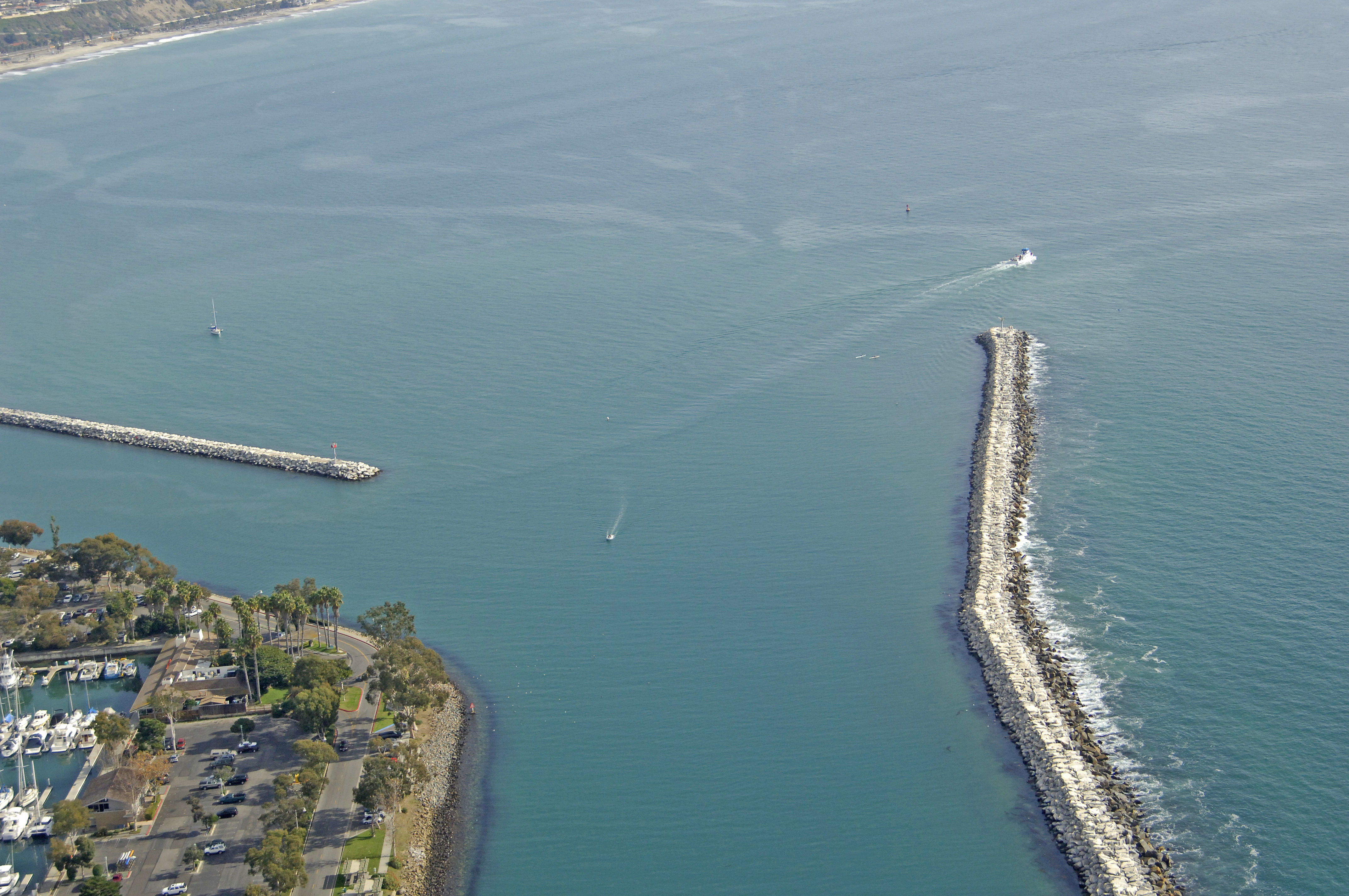
Use NOAA Chart 18746.
Keep in mind that this chart shows soundings in fathoms, not feet. One fathom equals six feet of depth.
Enter from the south. Flashing green buoy 1 marks the start of the approach to the harbor opening at the west end of Dana Point. Once you have cleared flashing green buoy 1, you can either set a course for flashing red buoy 2 two at the mouth to the harbor, or flashing green 3, which marks the southernmost of the two breakwalls bordering the inlet. Depths inside the harbor range from nine to 15 feet.
Local Notices to Mariners:
Local Notices to Mariners are available online from the U.S. Coast Guard.