Manasquan River Inlet
| Manasquan, New Jersey United States | |
| 40° 6' 3.96'', -74° 1' 54.12'' | |
| Bricktown Harbor |

You might also consider...


About
Introduction:
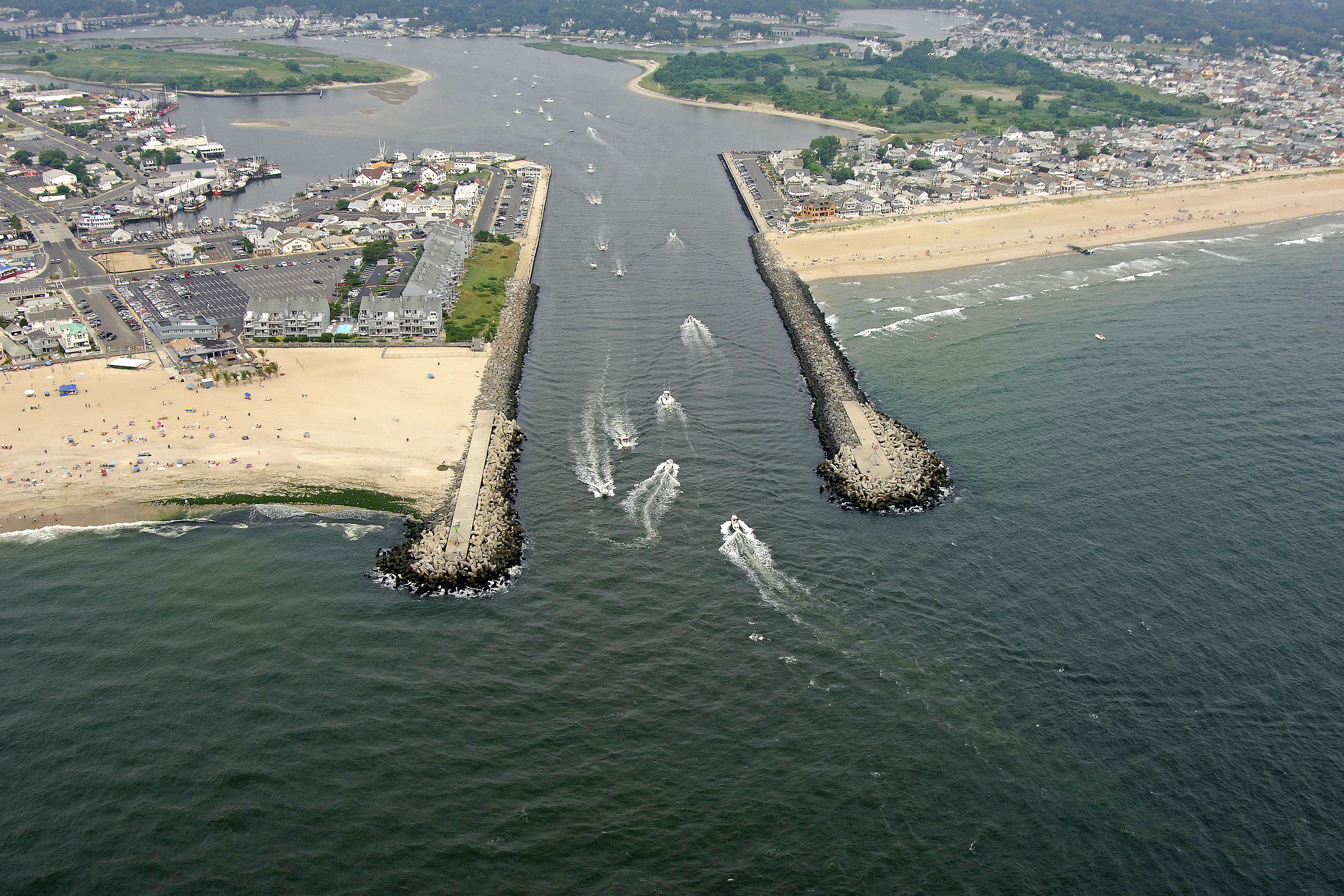
The Manasquan Inlet is a safe, relatively deep (six-foot depths) and easy-to-navigate inlet located at Mile Zero of the New Jersey Intracoastal Waterway (NJICW) about six miles south of Shark River and 13 miles to the northeast of Toms River.
The Manasquan River is an excellent stopover before making the offshore hop to the Shark River or Sandy Point farther north. Inside, there are 22 marine facilities along the shores of the Manasquan River offering every imaginable marine service and accommodation that most boaters require. The area marinas fill up quickly in season and on weekends, so make sure you radio or phone ahead to check availability.
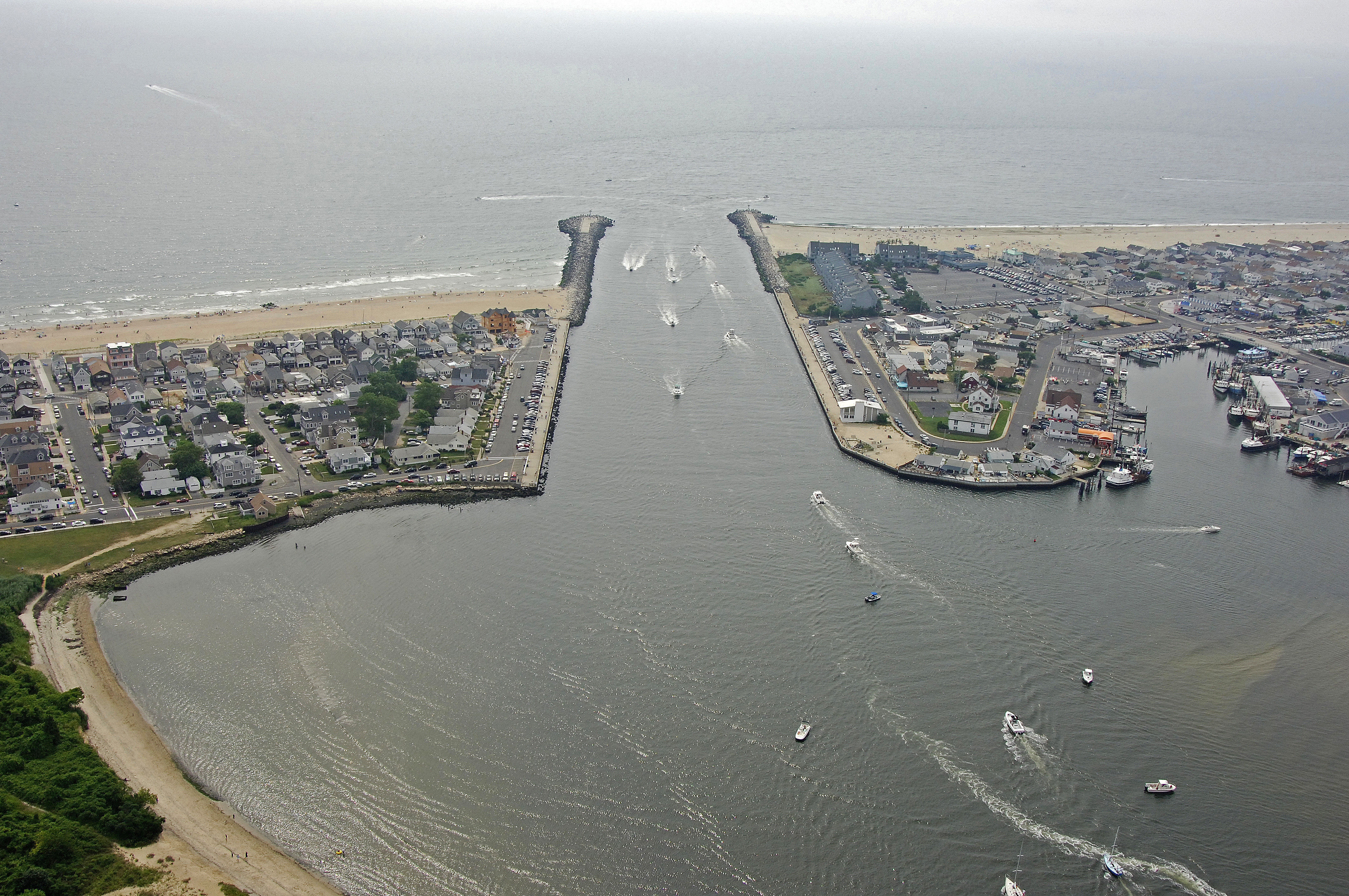
The image above is a view from the east looking west over the opening of the Manasquan River where it empties into the Atlantic Ocean at the town of Manasquan. To the right (north) of the image is the town of Manasquan, while to the left (south) of the inlet is the town of Point Pleasant Beach. The green patch of land in the upper left portion of the image is Gull Island.
Navigating the Water:
Use NOAA Chart 12324.
From the Atlantic Ocean, first pick up flashing red bell buoy 2M about a mile and a half east of the inlet entrance. Once you have successfully picked up flashing red bell buoy 2M, set a course for flashing green (horn) 3 and flashing red 4, which mark the south and north jetties to the inlet, respectively. Once clear of the jetties at the inlet opening, you will find a wide channel with six and a half-foot depths.
Inside the inlet there are a variety of marinas and marine services, most of which are centered around a three-foot closed vertical clearance railroad bridge, which is typically left in the open position unless rail traffic is approaching. There are at least two marinas with transient facilities and two that have lifts for repairs and related services.
Local Notices to Mariners:
Local Notices to Mariners are available online from the U.S. Coast Guard.