Horseshoe Cove Inlet
| Brooksville, Maine United States | |
| 44° 19' 41.88'', -68° 46' 9.85'' | |
| Bucks Harbor |


About
Introduction:
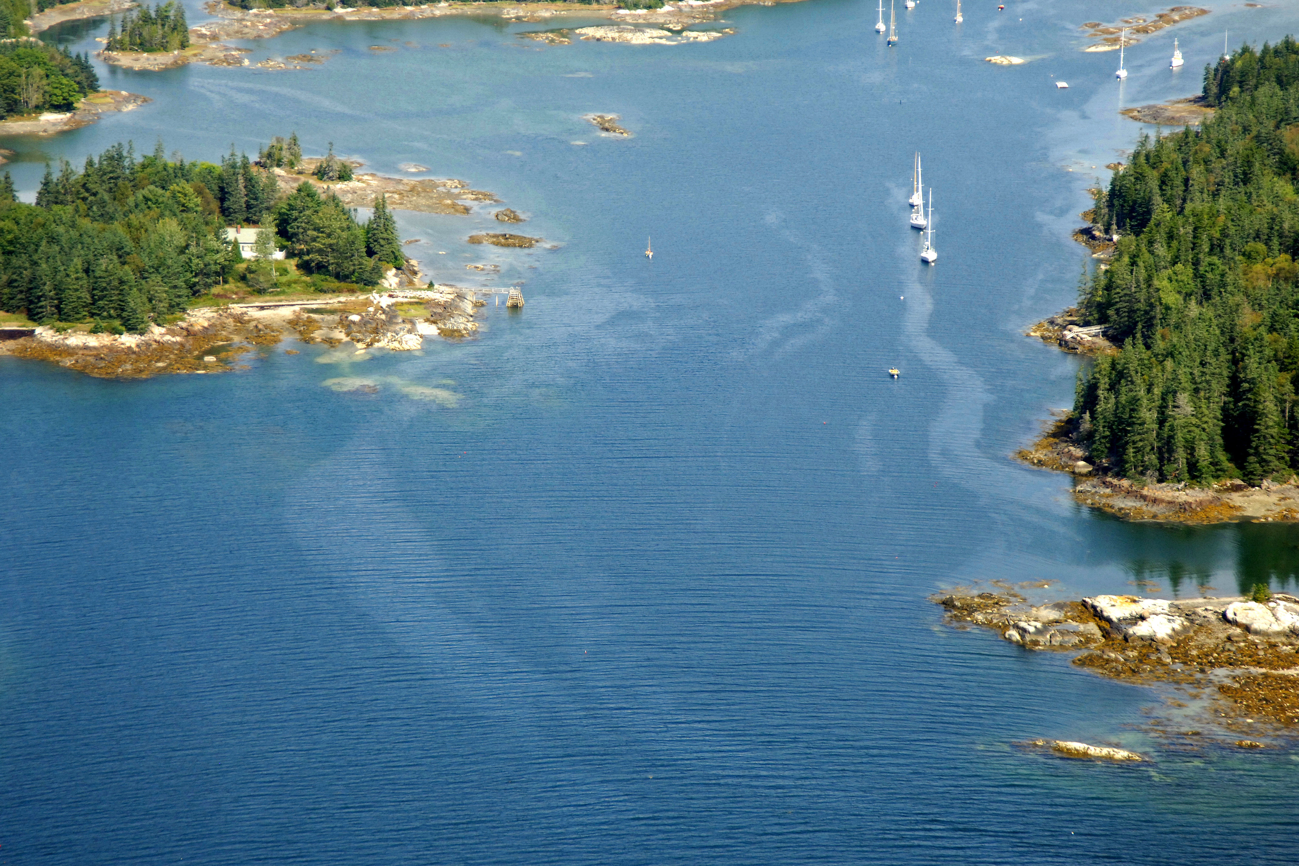
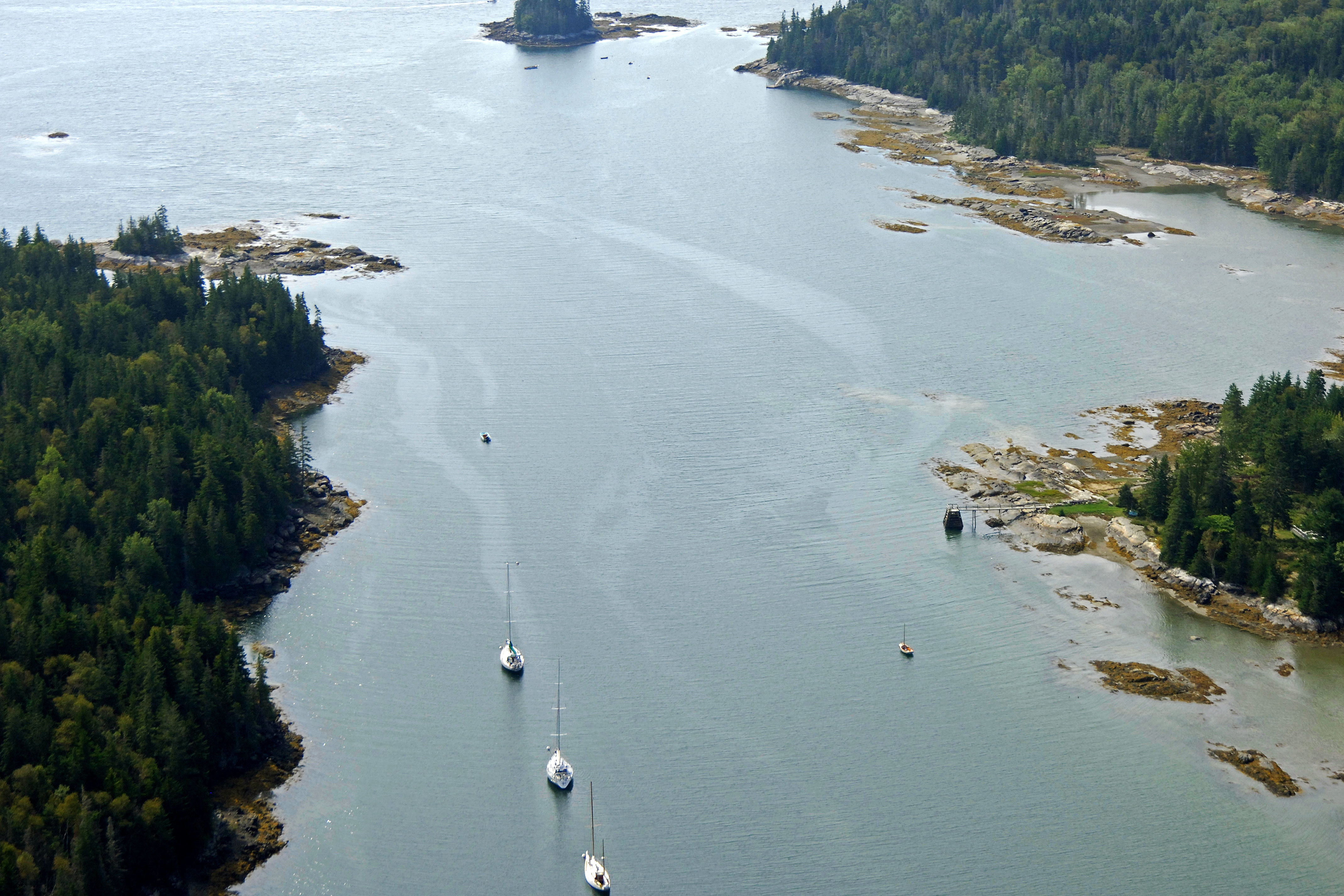
Even though Horseshoe Cove can be tricky to get into, once clear of the inlet you will find a quite and idyllic Maine setting where you can either anchor out or tie up to a mooring for the evening. This is a place for those seeking peace, quiet and a taste of the great outdoors.
Navigating the Water:
Use NOAA Chart 13309.
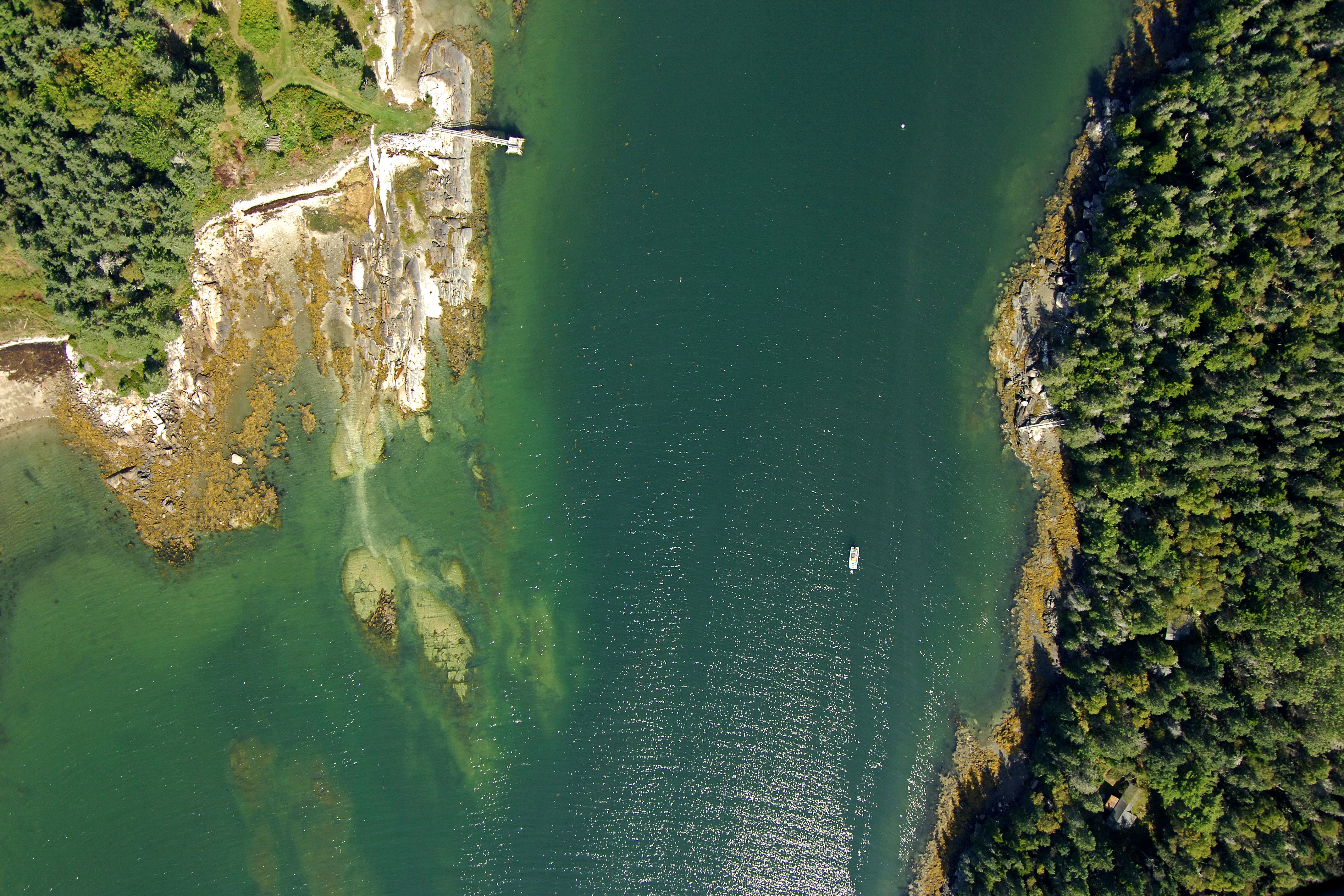
You can approach Horseshoe Cove either from Eggemoggin Reach to the southeast, or from Penobscot Bay to the southwest. From Eggemoggin Reach, pick up the red and white Morse (A) buoy south of bucks harbor and set a northwest course to the red daybeacon (a stake with a home-made marker on it) marking the Horseshoe Cove Inlet, making sure to give Thrumcap Island plenty of room along the way.
If you arrive via Penobscot Bay,pick up the red and white bell buoy at the entrance to Eggemoggin Reach, and then proceed northeast to the green can buoy marking the 13-foot-deep rock ledge east of Spectacle Ledge. From here, head north-northeast to the red daybeacon (a stake with a home-made marker on it) marking the entrance to Horseshoe Cove.
Mind all the markers very carefully once inside, and them pick up one of the privately maintained moorings, or set the hook in a safe spot.
Local Notices to Mariners:
Local Notices to Mariners are available online from the U.S. Coast Guard.