Lagoon Pond Inlet
| Vineyard Haven, Massachusetts United States | |
| 41° 27' 29.16'', -70° 35' 9.95'' | |
| Vineyard Haven Harbor |

You might also consider...


About
Introduction:
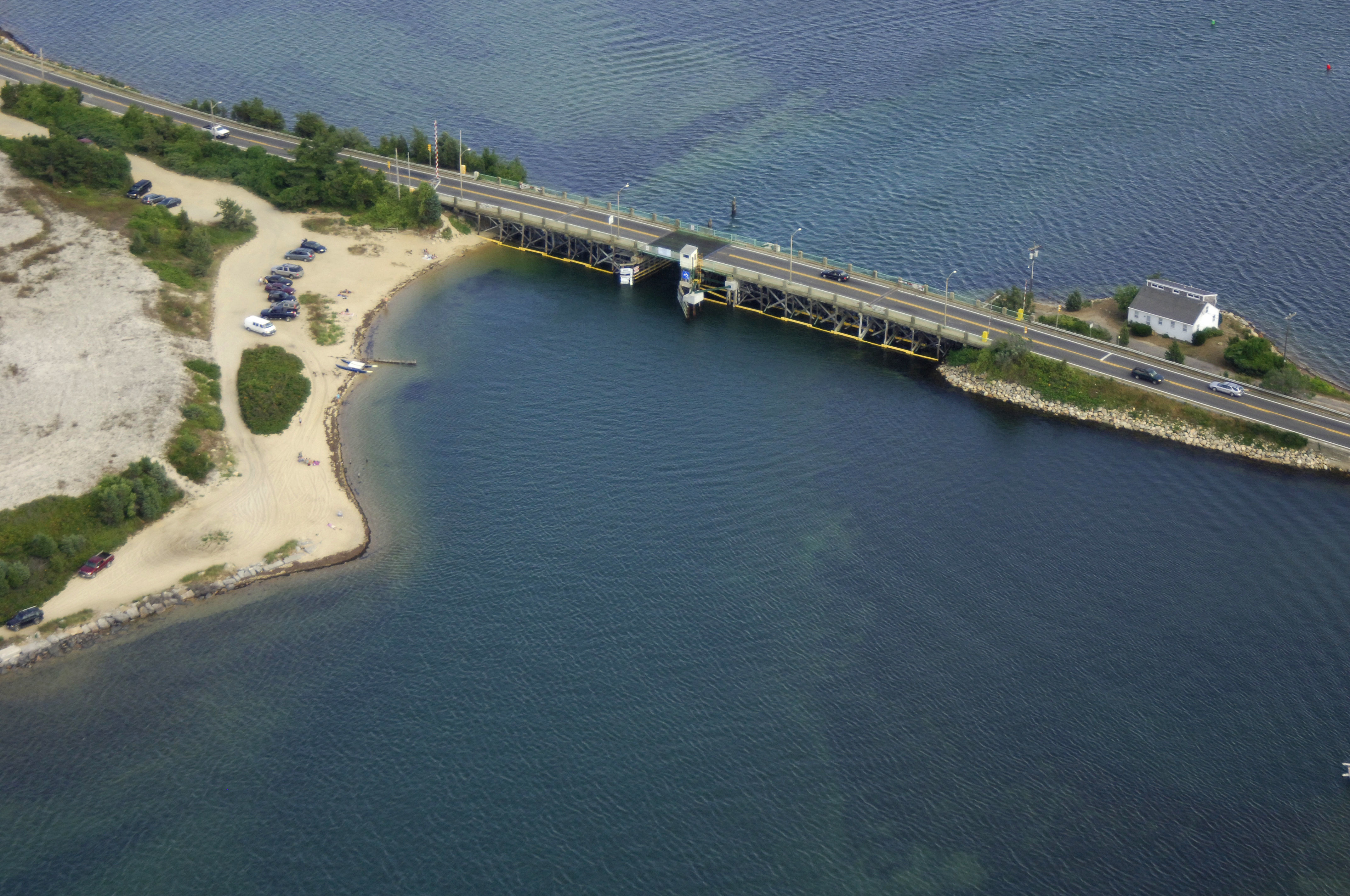
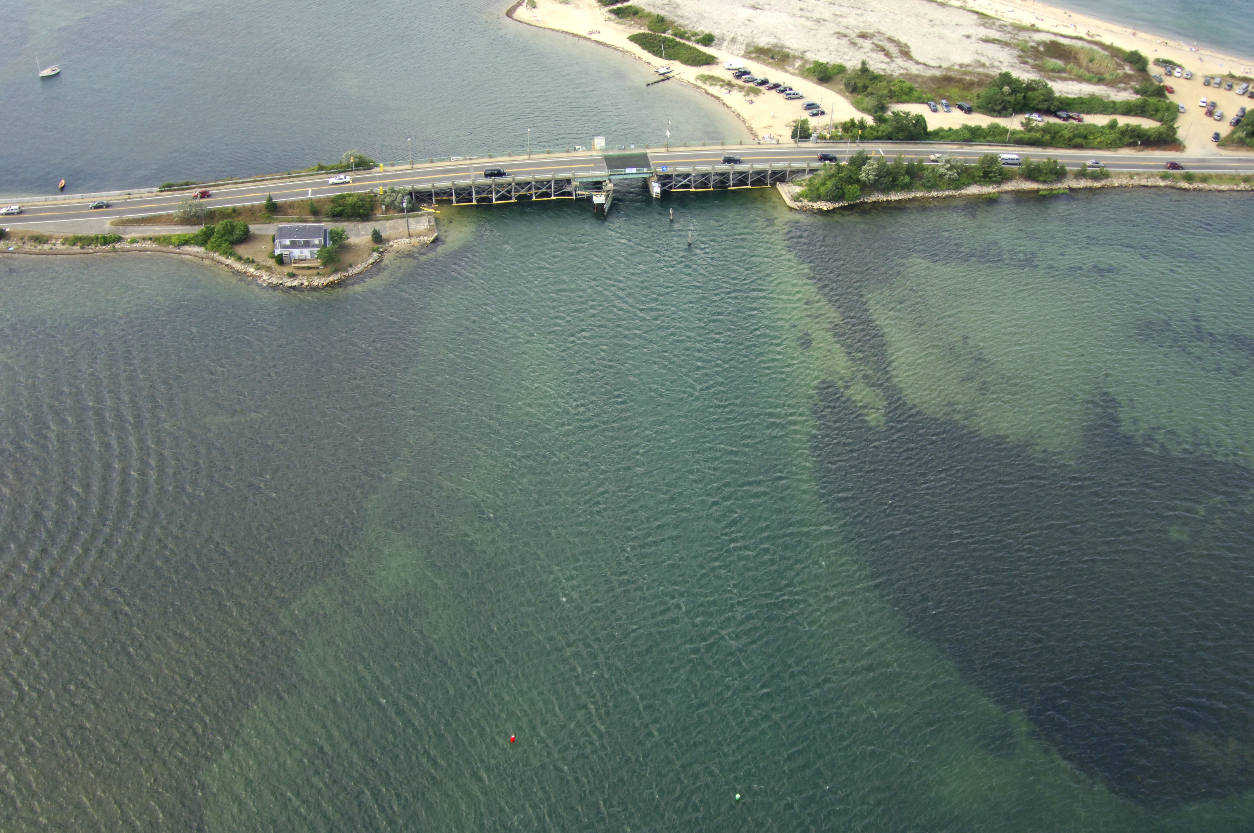
Lagoon Pond is a narrow sliver of water that breaks off of Vineyard Haven Harbor about one mile east of the town dock. Inside Lagoon Pond you will find well protected anchorages and good depths within the channel. Lagoon Pond is an excellent place for those looking to get away from the hustle and bustle of Vineyard Haven.
Navigating the Water:
Use NOAA Charts 13233 and 13238.
The Lagoon Pond Bascule Bridge is operated by a private individual and operates on a restricted opening schedule. From Dec. 31 to May 5, the bridge opens on signal. During the rest of the year, call ahead to the bridge tender for a detailed opening schedule. If you have to wait out the bridge, there is enough room for waiting, although we would recommend calling ahead when you are in Vineyard Haven, where you can either tie up to a mooring or at a transient slip before heading eastward to the Lagoon Pond Inlet.
From Vineyard Haven Harbor, pick up red nun "2" just east of the Lagoon Pond Bascule Bridge, and then make your approach for an opening. Once clear of the bridge, head southeast and follow the series of red nuns to your destination. Most of Laggon Pond is available for anchoring, consult your chart for details.
Local Notices to Mariners:
Local Notices to Mariners are available online from the U.S. Coast Guard.