Machias Seal Island Lighthouse
| Maine United States | |
| 44° 30' 11.88'', -67° 6' 2.88'' | |
| Little Machias Bay |


About
Introduction:
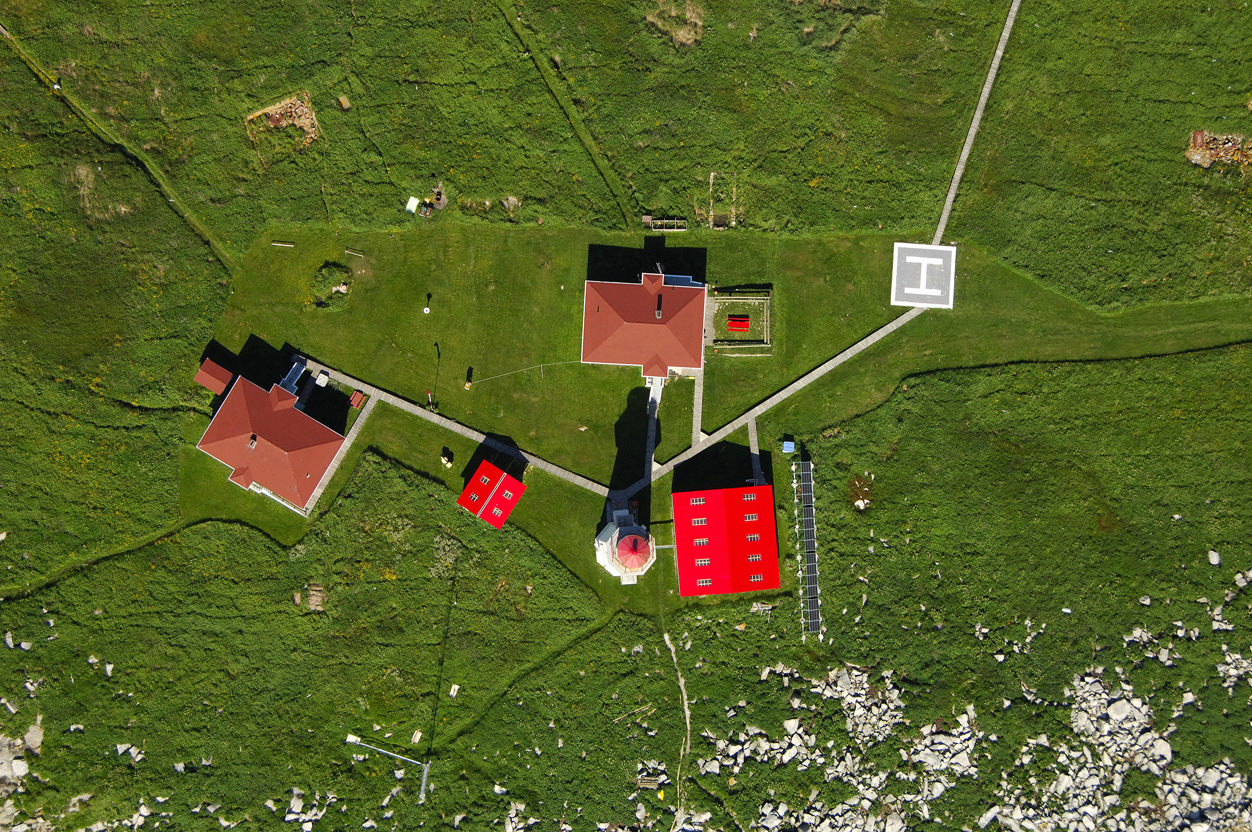
Located on remote, rugged Machias Seal Island, the Machias Seal Island Lighthouse casts a flashing white light that flashes every three seconds, and is visible for 18 miles.
Machias Seal Island is famous among bird watchers for its immense native population of puffins, a colorful seabird.
History:
The lighthouse here was originally constructed by the United Kingdom in 1832, and is now maintained by Canada. The ownership of the island is still in flux, with the United States, via Maine residents, and Canada, via maintaining a presence at the island and keeping the lighthouse lit, claiming ownership of the island.
Navigating in and Around the Lighthouse:
Use NOAA Chart 13392.
Local Notices to Mariners:
The Canadian government is currently only allowing 30 visitors a day to visit the island in order to protect the puffin population, and the lighthouse is not open to the public. Machias Island is exposed, rugged and anchoring here is difficult, if not impossible. We recommend a lot of homework before you make the trek out here, only to be disappointed by some newly introduced regulation. Your best bet is to contact tour operators and arrange a private trip.