Pumpkin Island Lighthouse
| Maine United States | |
| 44° 18' 38.16'', -68° 44' 31.93'' | |
| Bucks Harbor |


You might also consider...


About
Introduction:
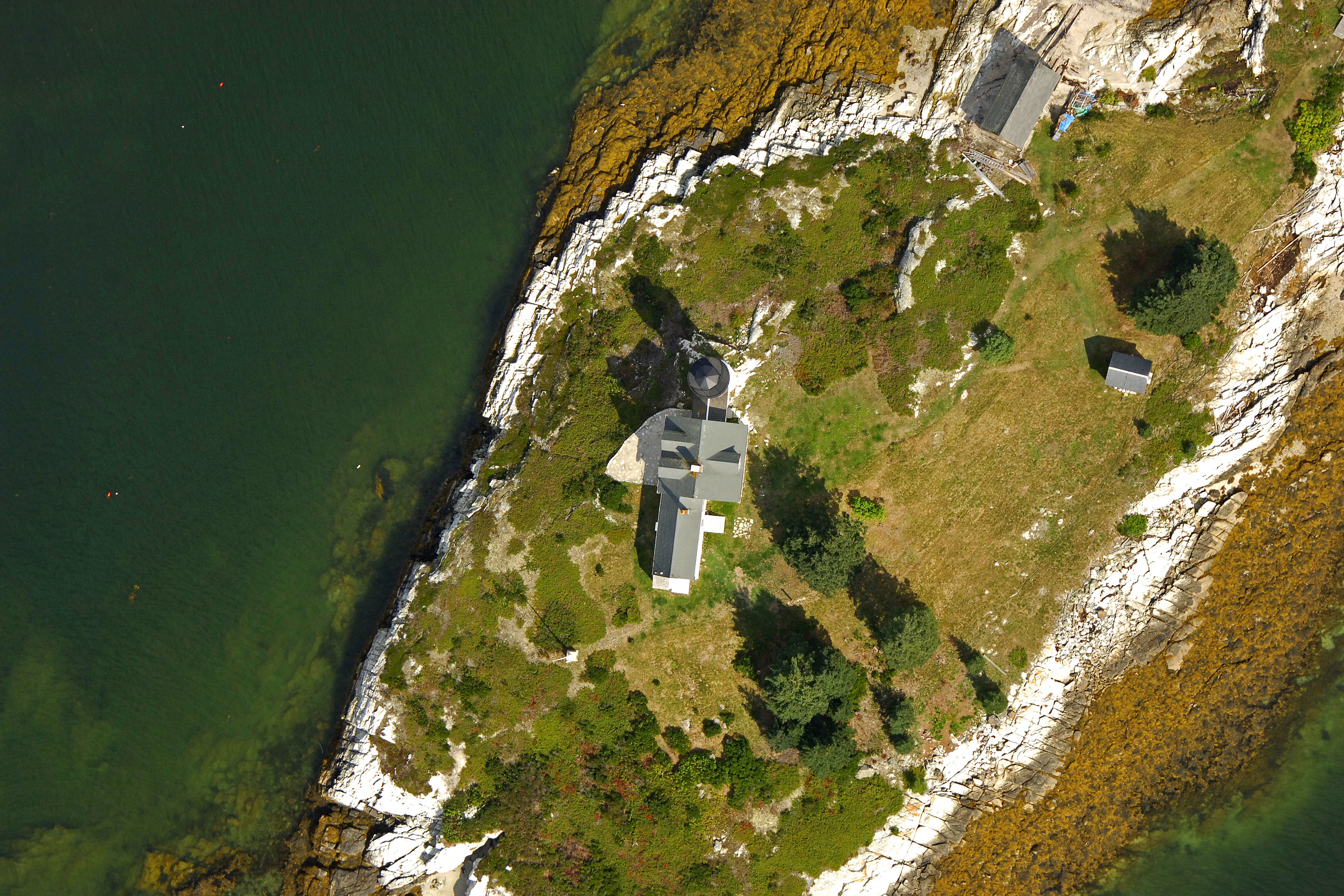
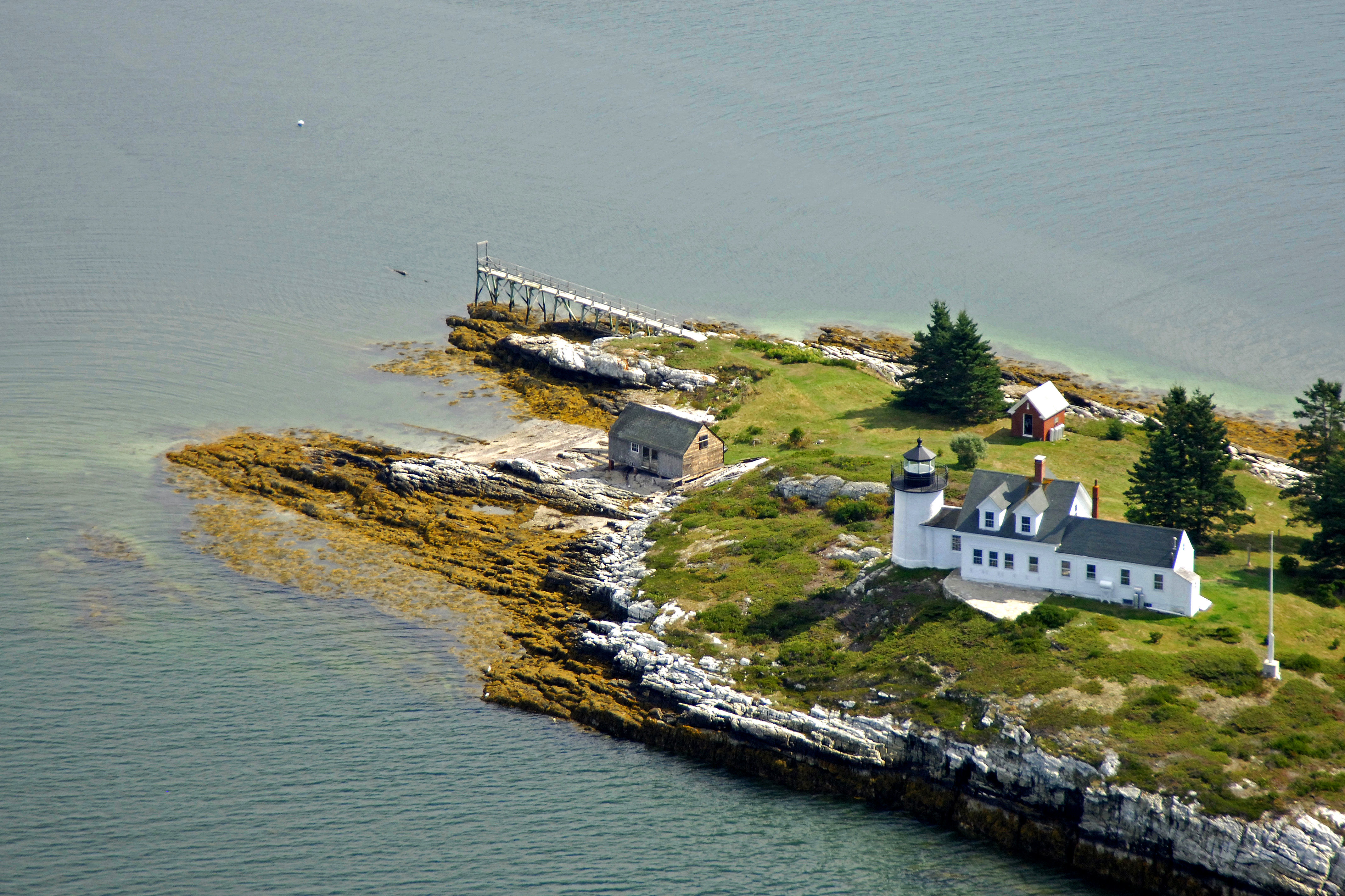
Situated at the end of Eggemoggin Point on Deer Isle at the northern entrance to Eggemoggin Reach, the Pumpkin Island lighthouse stands 28 feet tall and is constructed of brick with a black and white finish. The light tower is unfortunately discontinued and no longer used as an aid to navigation.
History:
Construction on the lighthouse finished in 1854, the United States Coast Guard automated the light in 1930, and it was fully discontinued in 1934 as it was decided that other water-based aids to navigation were more cost effective. Many of the old buildings still stand on the island with the lighthouse.
Navigating in and Around the Lighthouse:
Discontinued Pumpkin Island Lighthouse is located on Pumpkin Island off Eggemoggin Point at the north entrance to Eggemoggin Reach and is officially listed as abandoned on the current chart. Several can buoys and a Morse (A) buoy now help to guide mariners around Eggemoggin Point.
Local Notices to Mariners:
Local Notices to Mariners are available online from the U.S. Coast Guard.
Tour Schedule:
Pumpkin Island and the lighthouse are not open to the public. The lighthouse can be viewed from Eggemoggin Point or by boat.