Santa Barbara Lighthouse
| California United States | |
| 34° 23' 45.96'', -119° 43' 19.2'' | |
| Santa Barbara |


About
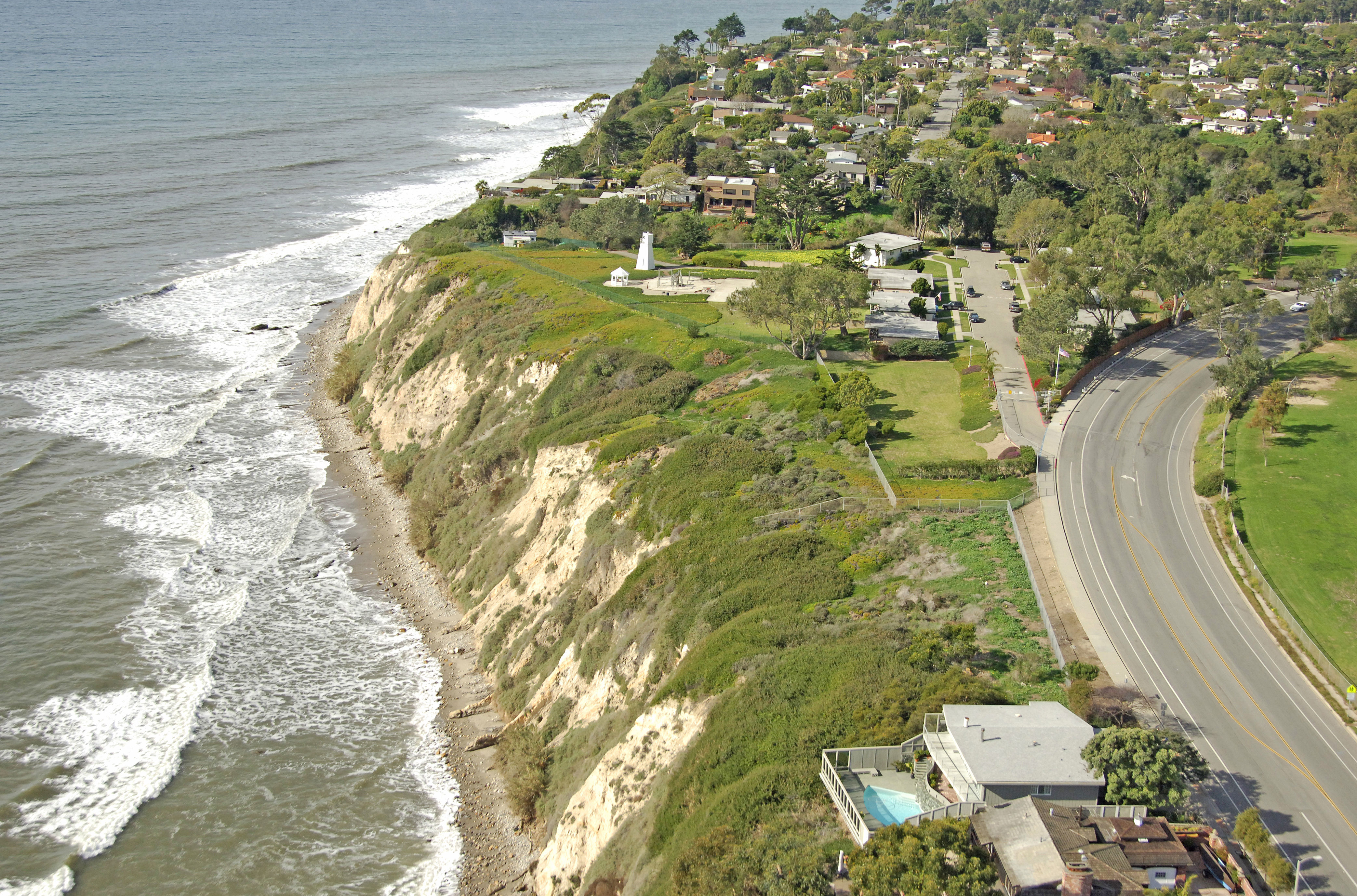
Santa Barbara Lighthouse
Although the original lighthouse no longer stands here, a USCG-maintained light still shines from the steep cliff above the Santa Barbara Channel, just southwest of the main part of town.
History:
The first lighthouse was completed and manned here in 1856, but a strong earthquake in Santa Barbara in 1925 destroyed the lighthouse. A small steel tower now serves to hold an electric optic today.
Navigating in and Around the Lighthouse:
Use NOAA Chart 18725.
Characteristics: Flashing white every ten seconds with a focal plane 142 feet above the Pacific Ocean.
Local Notices to Mariners:
Local Notices to Mariners are available online from the U.S. Coast Guard.
Tour Schedule:
The original lighthouse is no longer standing, and only a small steel tower serves to protect the light. The light is on the grounds of a USCG base and off limits.