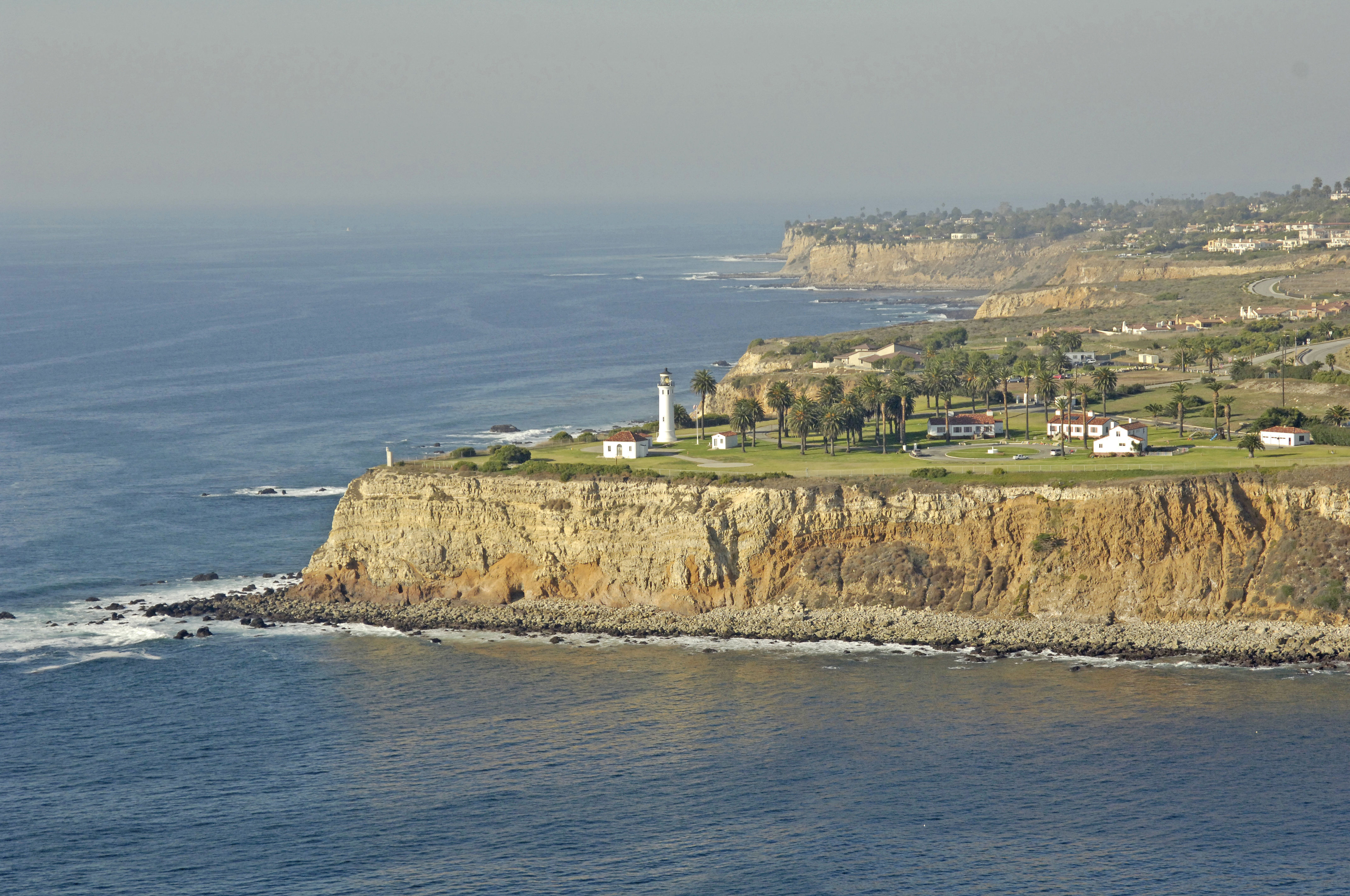
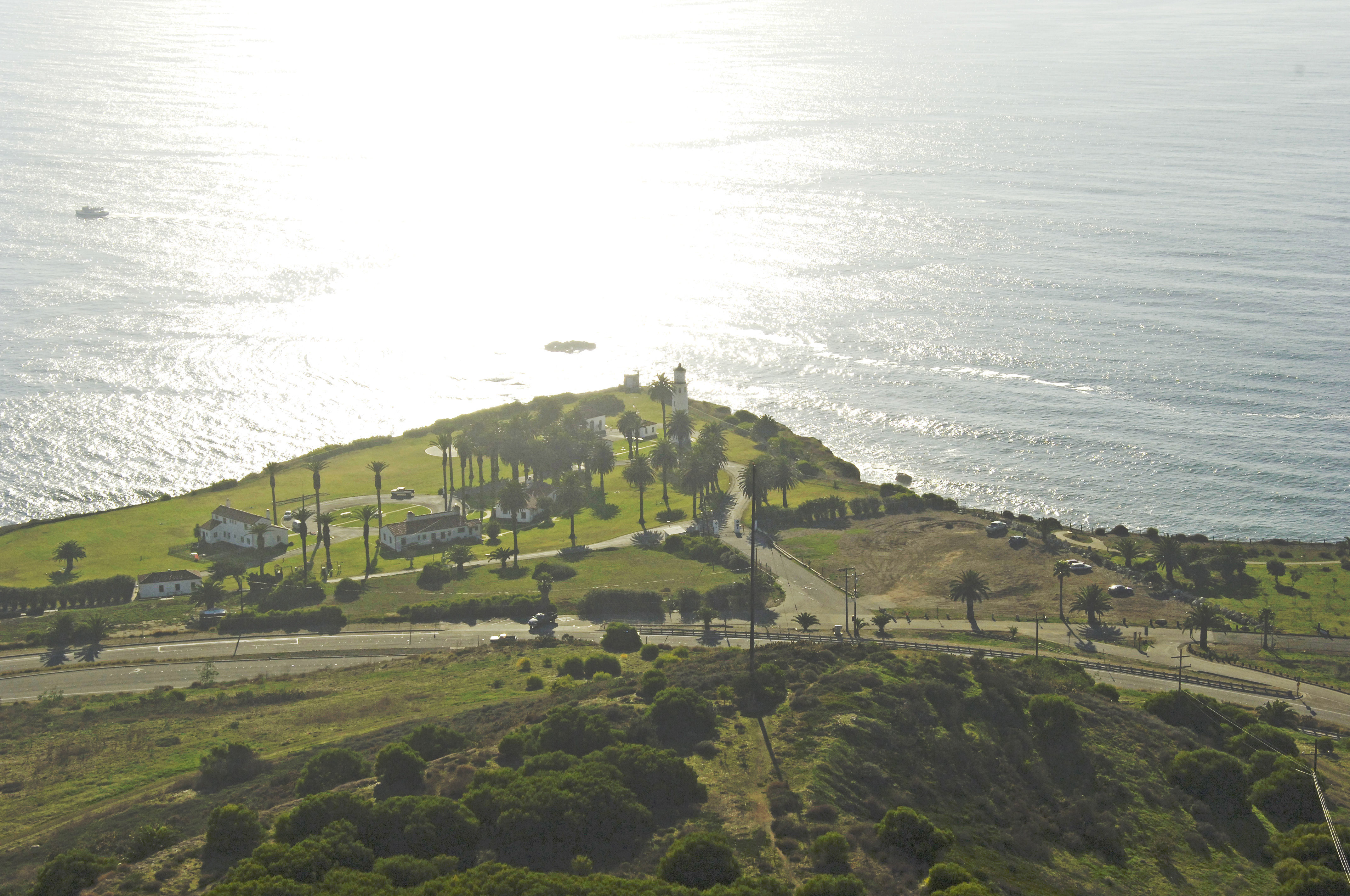
Point Vicente Lighthouse
| California United States | |
| 33° 44' 30.12'', -118° 24' 36.01'' | |
| Redondo Beach |


You might also consider...

21 Reviews
Experience sustainable boating at Sun Harbor Marina, the world’s first LEED-c... Read More

89 Reviews
Redondo Beach Marina, is one of the four marinas in King Harbor. We are just ... Read More

1 Review
Located just minutes from downtown is San Diego's water wonderland, Mission B... Read More
About
Introduction:
Just north of Long Point, and 13 miles of Long Beach, Point Vicente stands only second to Palos Verdes as the westernmost point in Los Angeles.
History:
A fairly new lighthouse in the scheme of things, Point Vicentes lighthouse was completed in 1926. The USCG automated the light in 1971.
Navigating in and Around the Lighthouse:
Use NOAA Chart 18740.
Characteristics: Flashing white light (twice) every 20 seconds 185 feet above the San Pedro Channel. Horn during periods of reduced visibility.
Local Notices to Mariners:
Local Notices to Mariners are available online from the U.S. Coast Guard.
Tour Schedule:
The lighthouse is located on a Unites States Coast Guard base and it is usually closed off to visitors.
Reviews
No reviews yet! Be the first to write a review of Point Vicente Lighthouse.