Curtis Island Lighthouse


About
Introduction:
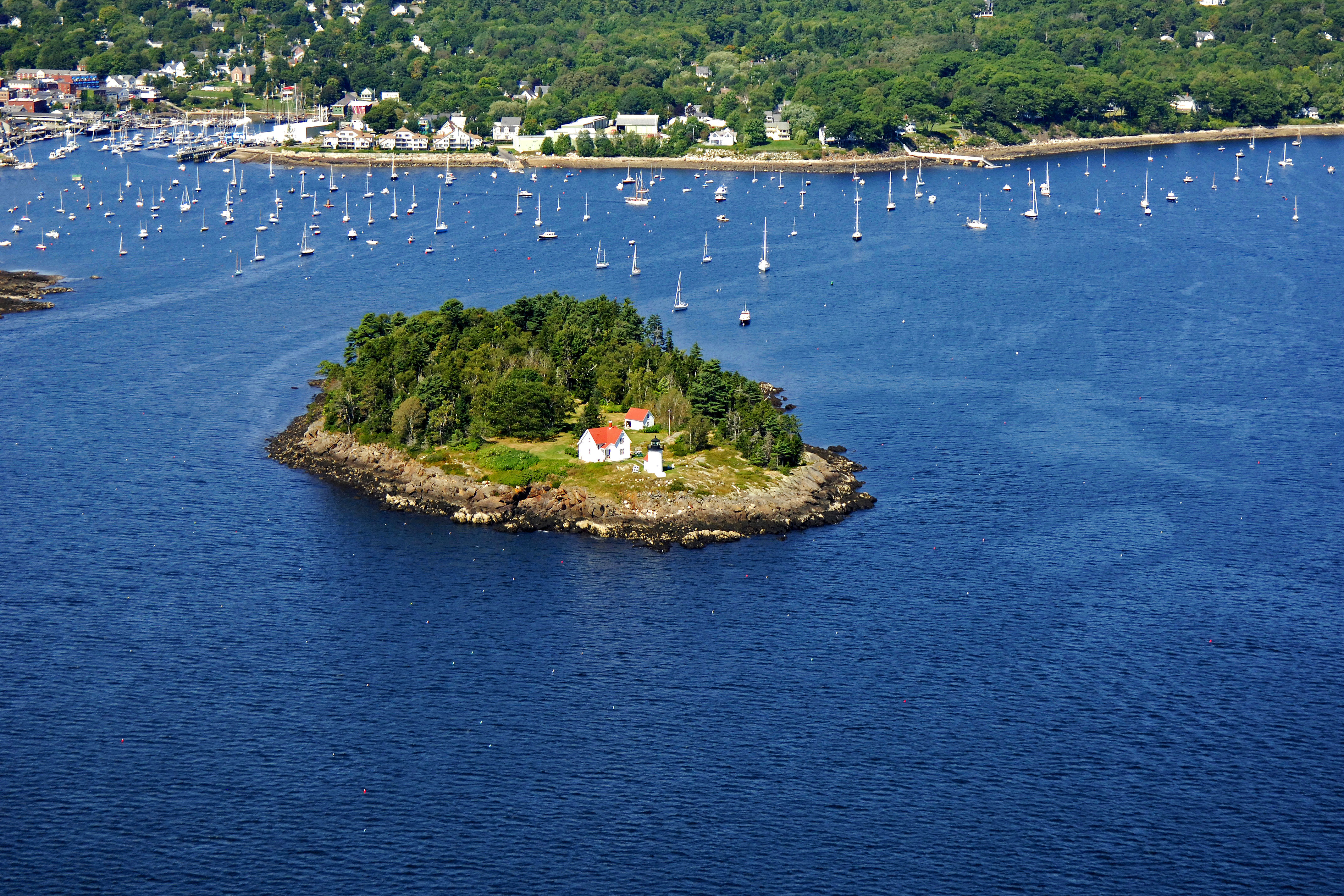
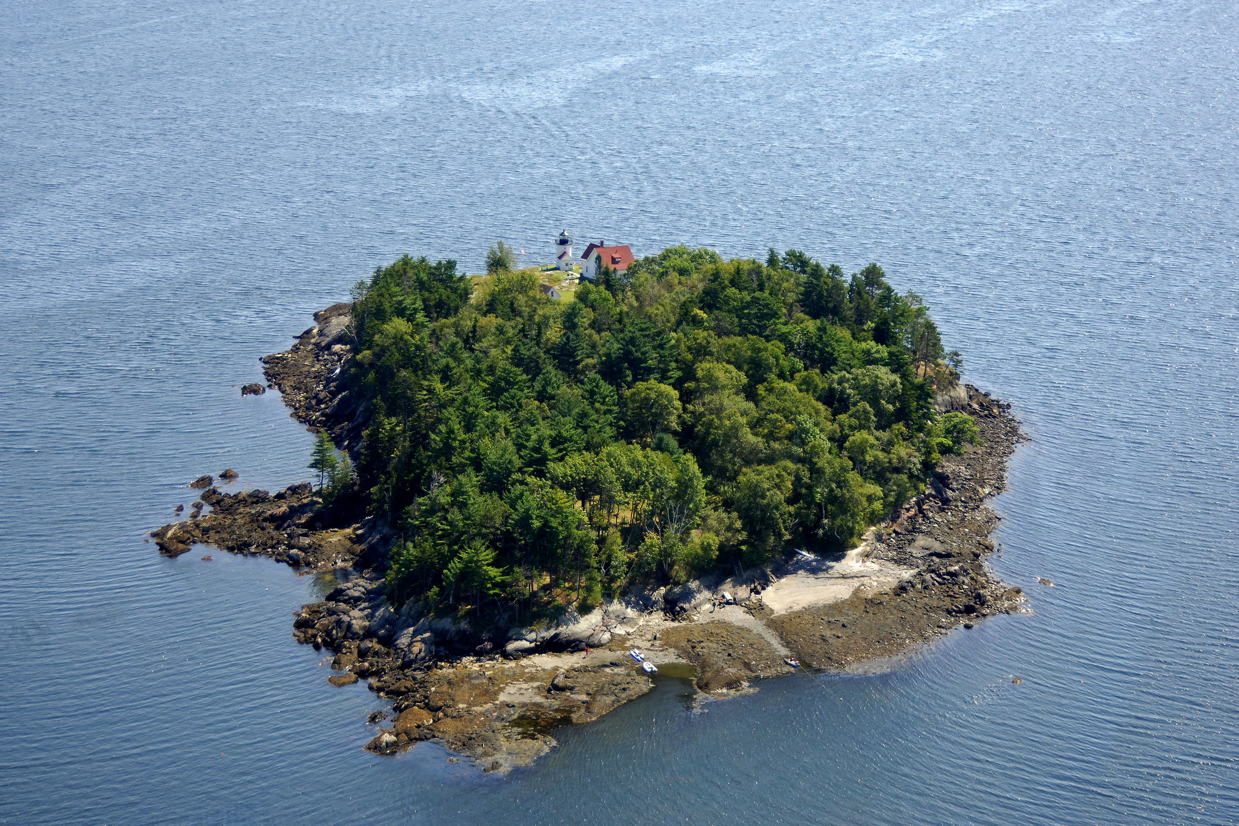
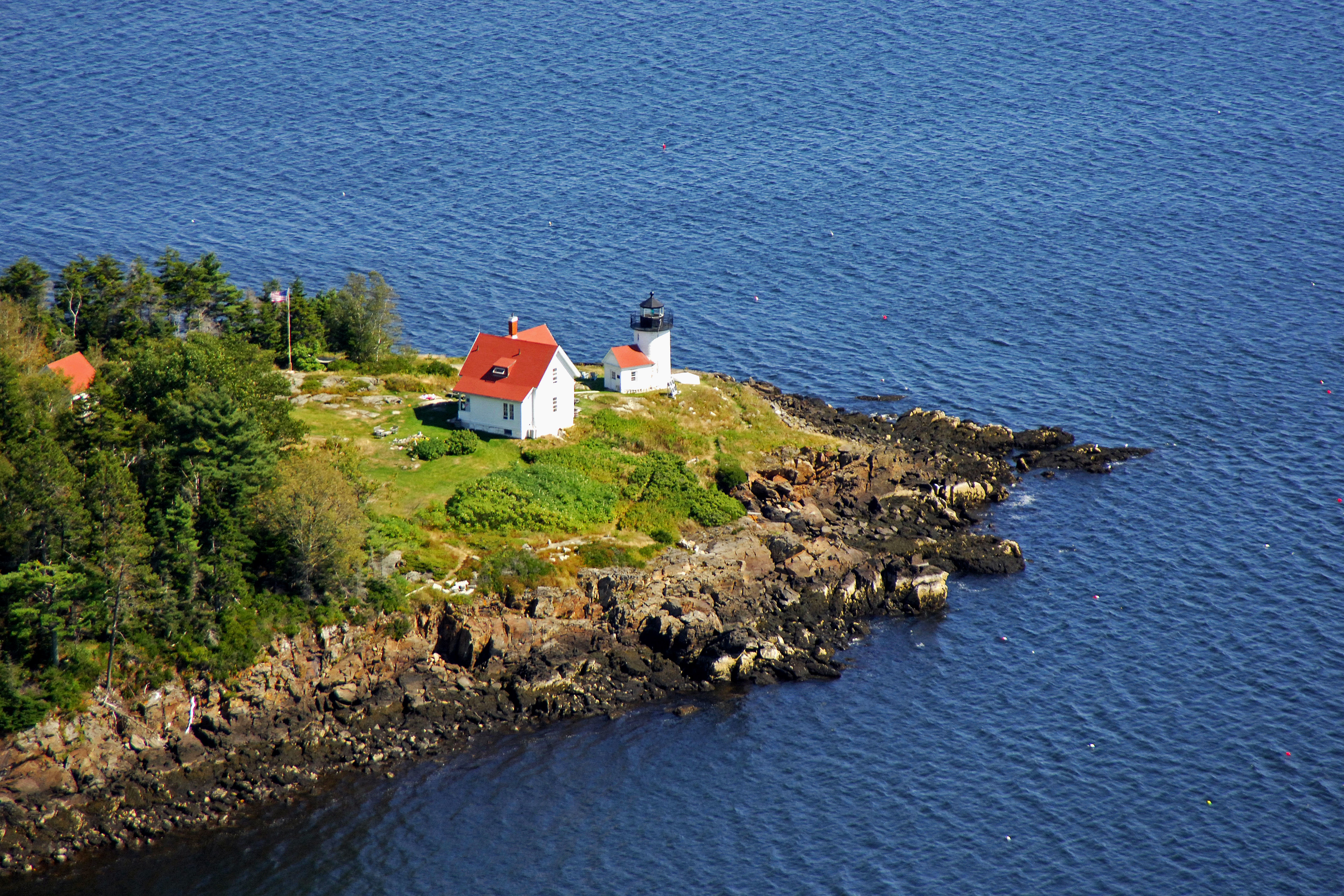
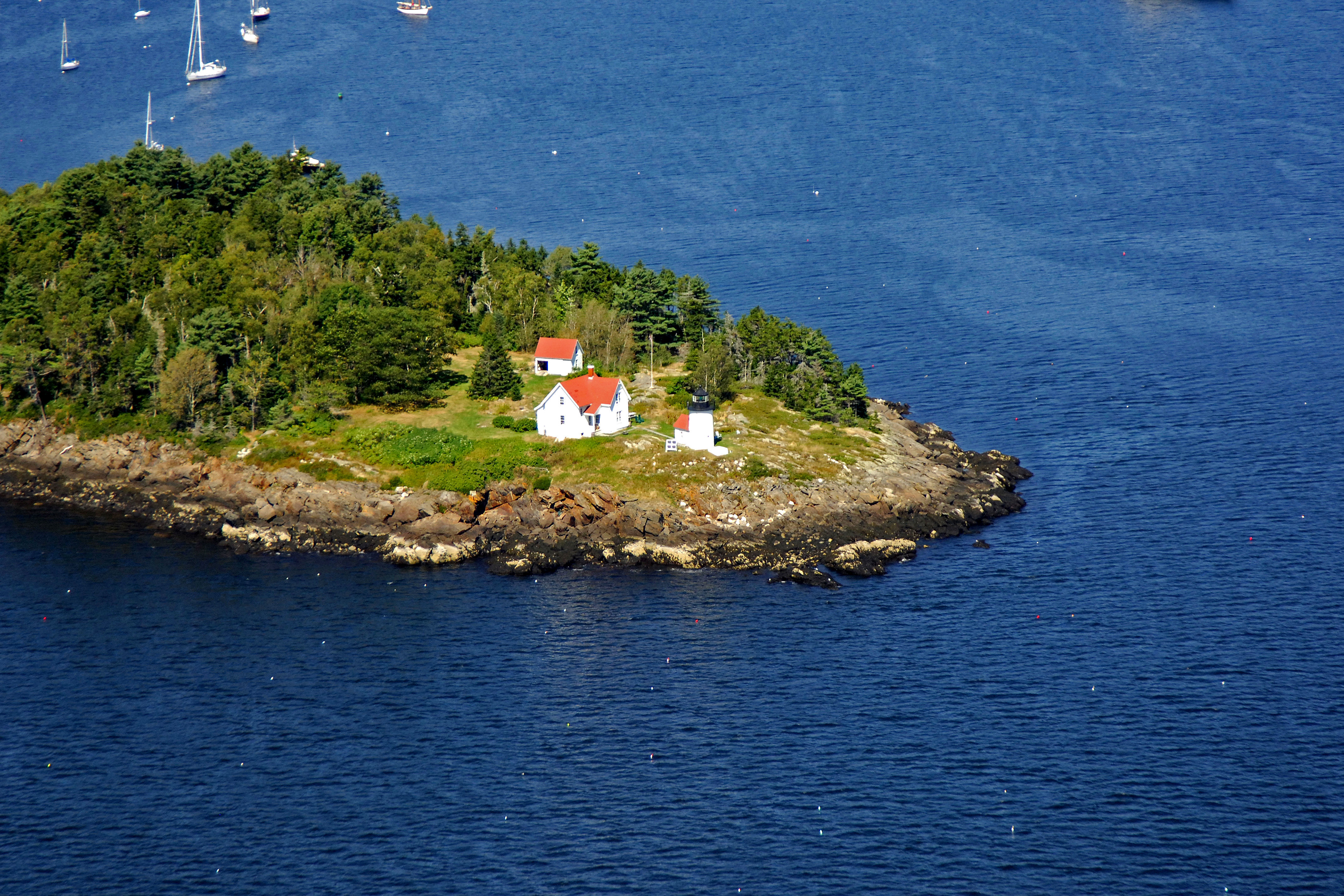
Standing 52 feet above the water almost smack in the middle of Camden Harbor, the Curtis Island Lighthouse beams an occulting green light (four seconds on, one second off) into Penobscot Bay north of Ogier Point. The lighthouse is constructed of brick and has a white and black finish. The surrounding oil, light keepers and boathouses are white with red roofing.
History:
The original light station was established here in 1835, and construction of the present lighthouse was completed in 1896, The United States Coast Guard automated the lighthouse in 1972 and still maintains the light as an aid to navigation today.
Navigating in and Around the Lighthouse:
Use NOAA Chart 13305.
The Curtis Island Lighthouse serves two purposes: Mark Curtis Island itself, and to help guide mariners into Camden Harbor. The water is fairly deep very close to Curtis Island, but several rock ledges jut out from Northeast Point north of the island and warrant caution. Several can and nun buoys mark these.
Local Notices to Mariners:
Local Notices to Mariners are available online from the U.S. Coast Guard.
Tour Schedule:
The island is accessible only by boat and is open to the public. The lighthouse itself, however, is not.