


San Francisco Harbor
California United States
Marinas near San Francisco Harbor
| Name | Reviews | Max LOA | VHF | Dock Depth | Gas / Diesel | Lift / Crane | Wifi | Amps |
|---|---|---|---|---|---|---|---|---|
| Treasure Island Yacht Harbor | - | - | - | - | - | - | - | - |
| Treasure Isle Marina | - | - | - | - | - | - | - | - |
| Pier 39 Marina | - | 85.0' | - | Low 0.0 mHigh 0.0' | - | - | - | - |
| Angel Island Boat Docks | - | 0.0 m | - | Low 0.0 mHigh 0.0' | - | - | - | - |
| OCSC Sailing School | - | - | - | - | - | - | - | - |
| Berkeley Yacht Club | - | 0.0' | - | Low 0.0 mHigh 0.0' | - | - | - | - |
| Berkeley Marine Center | - | 0.0' | - | Low 0.0 mHigh 0.0 m | - | - | - | - |
| Safe Harbor Emeryville | 125.0' | - | Low 0.0'High 0.0' | G$7.599/galD$6.942/gal | - | 30, 50 | ||
| Berkeley Marina | 100.0' | - | Low 0.0 mHigh 0.0' | - | - | 30 amp & 50 amp | ||
| Cal Sailing Club | - | - | - | - | - | - | - | - |
| Fisherman's Wharf | - | 0.0' | - | Low 0.0 mHigh 0.0' | DNearby | - | - | - |
| Pier 47 | - | 0.0' | - | Low 0.0 mHigh 0.0' | - | - | - | - |
| Hyde Street Pier | - | 0.0 m | - | Low 0.0 mHigh 0.0' | - | - | - | - |
| Emery Cove Yacht Harbor | 0.0' | - | Low 0.0 mHigh 0.0' | GYesDYes | - | - | - | |
| Richmond Yacht Club | - | - | - | - | - | - | - | - |
Introduction:
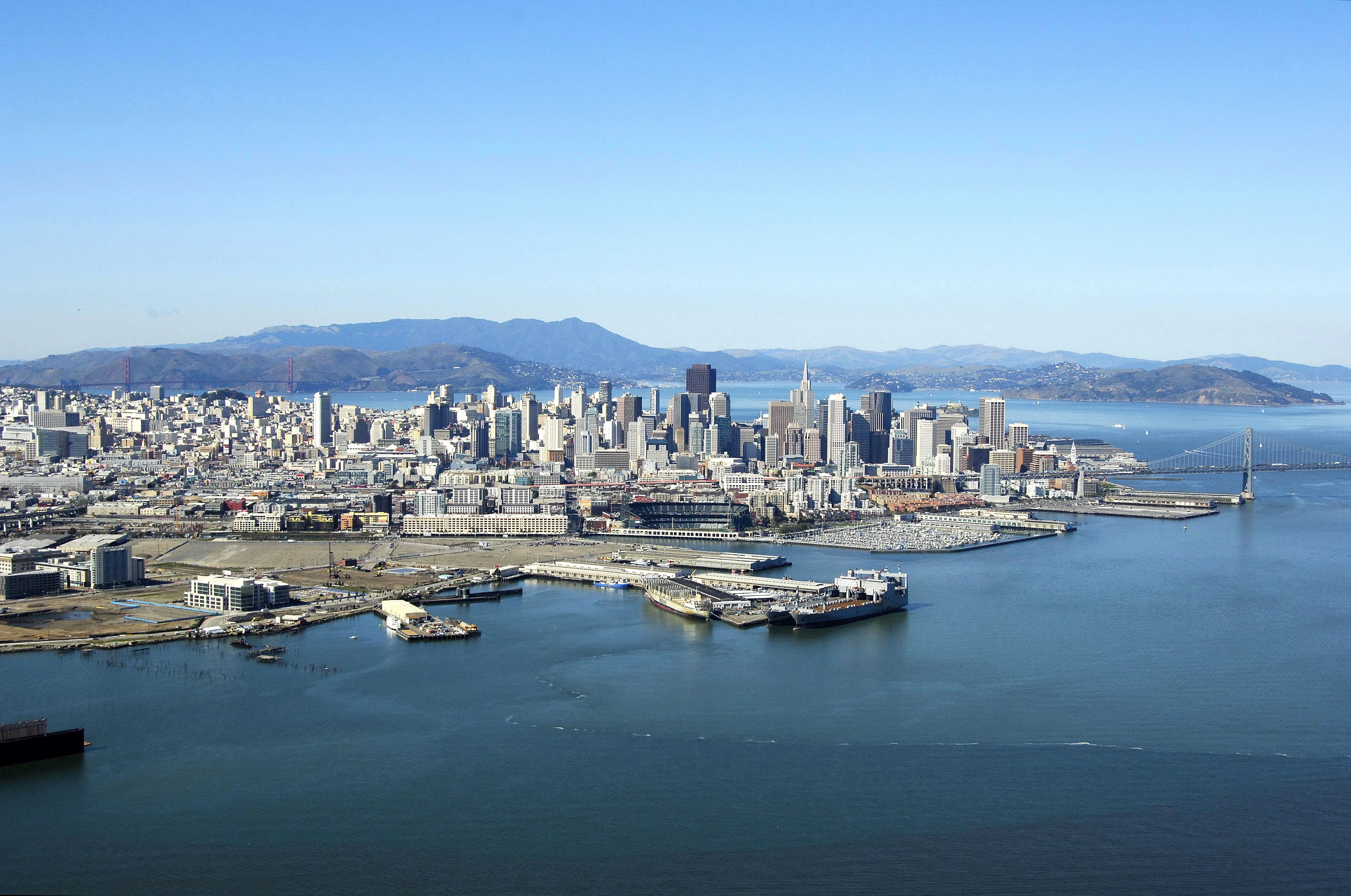
All sorts of watercraft have used San Francisco and the surrounding waters of San Francisco Bay for hundreds of years. From the steam freighters of the 1800s making passages to the Far East, the local fleet of Chinese-American crab fisherman yanking Dungeness crabs from the Pacific and the active resident sailing community, San Francisco is a great place to explore by boat.
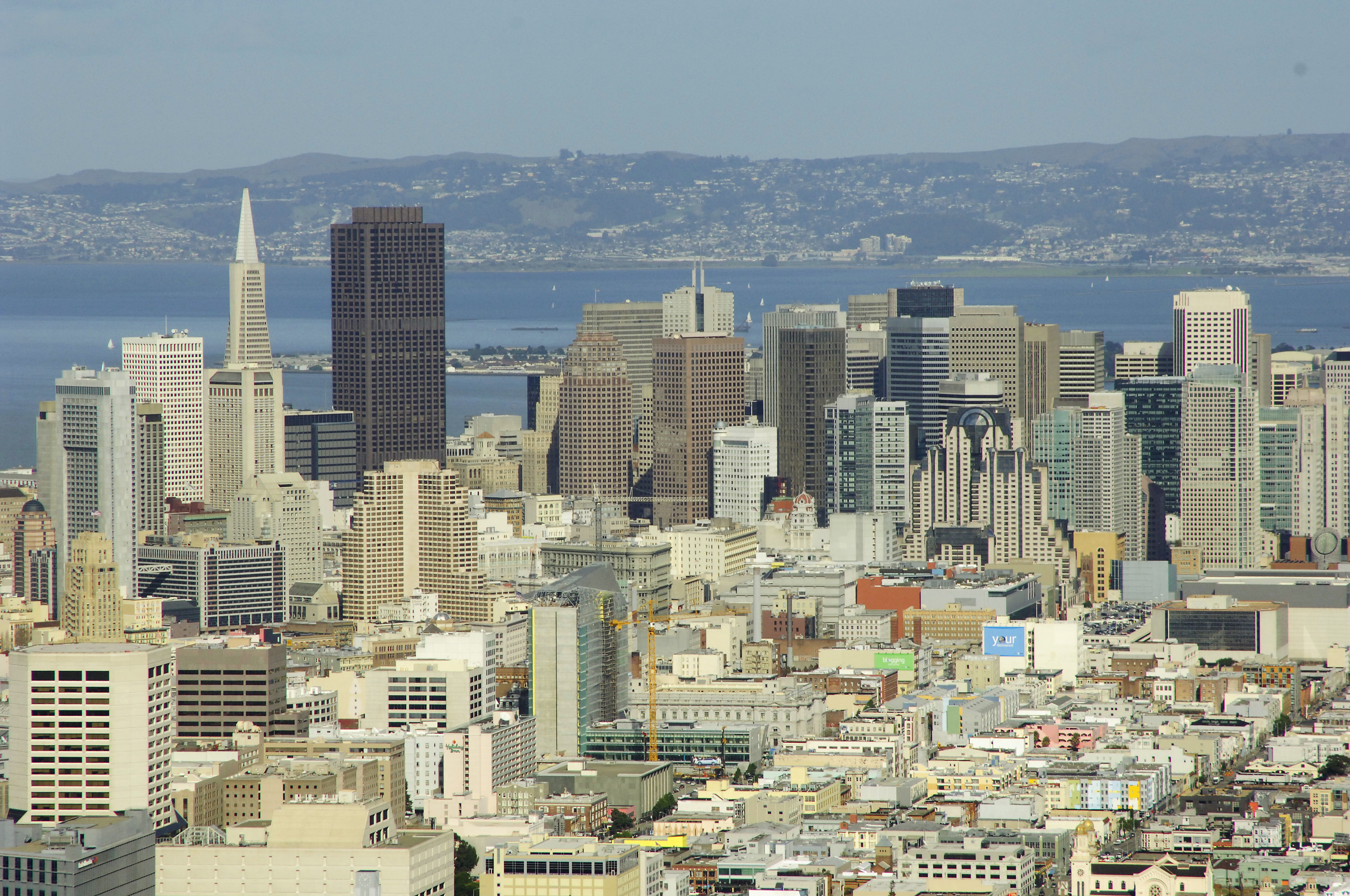
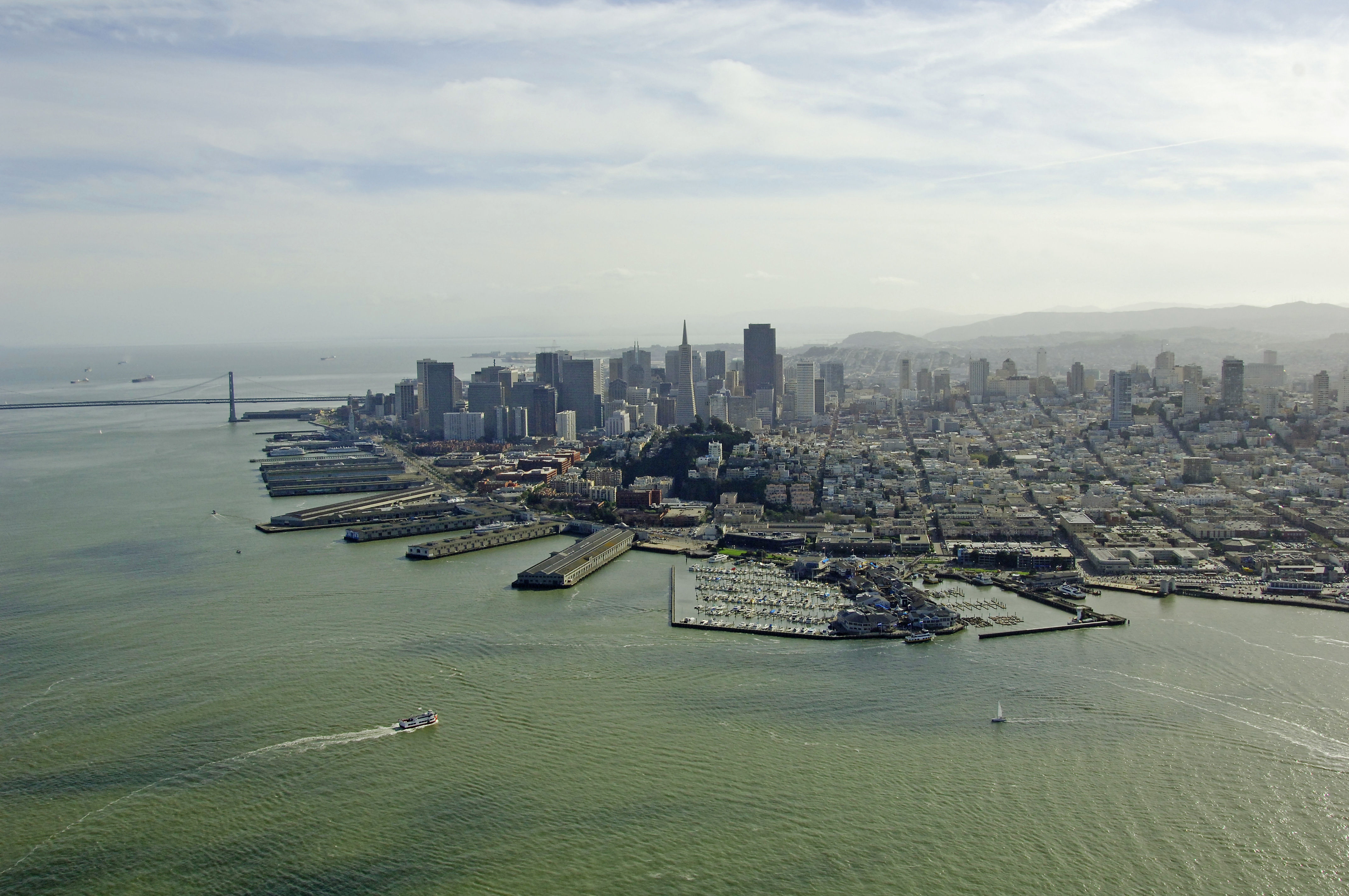
The most popular and usual haunts for visitors line the south shore of San Francisco Bay from the Golden Gate Bridge all the way over to Fishermans Wharf with its variety of restaurants, ferry departures for Alcatraz and casual to formal dining choices.
Once youve tied up, San Francisco has an excellent public transportation system that allows you full access to all that the city has to offer. See the Helpful Links section at the bottom of this page for full bus, train, subway and cable car schedules.
Navigating the Water:
More than a dozen NOAA Charts cover the San Francisco and San Francisco Bay area. We recommend having a look at NOAAs Pacific Coast Chart Catalog and arming yourself with the proper charts before planning your trip.
San Francisco Bay, especially in the areas surrounding the Golden Gate Bridge, can provide some of the most challenging and exhilarating (for some) boating in the United States. Between the infamous fog, strong afternoon breezes and the swift current, youll need to keep your wits about you, and keep an eye on the weather.
With that said, San Francisco has a vibrant and rich sailing community, and you can often see all sorts of craft under sail including catamarans, large high-tech racing yachts, one design racers and even schooners and motorsailers.
Local Notices to Mariners:
Local Notices to Mariners are available online from the U.S. Coast Guard.