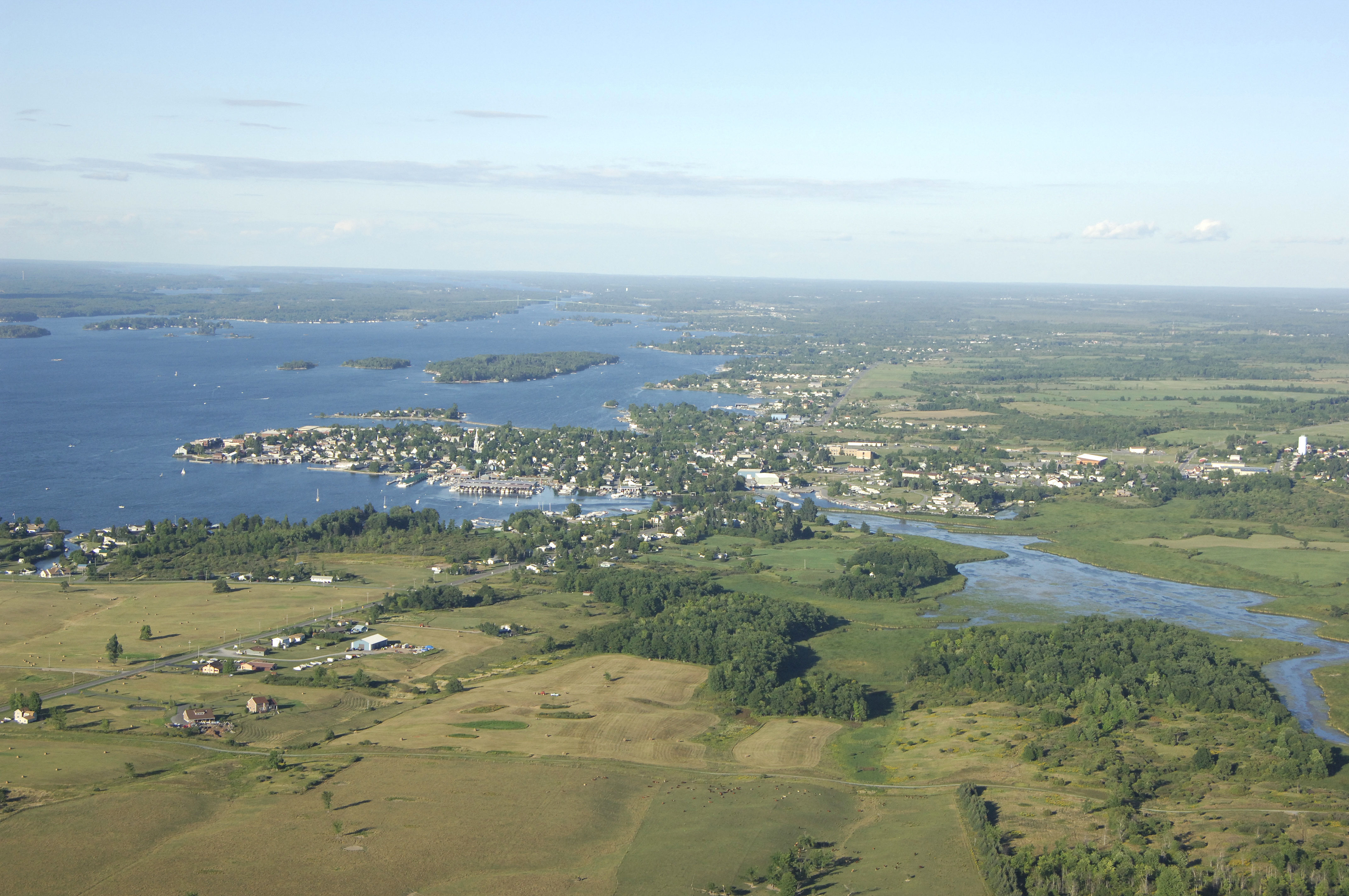
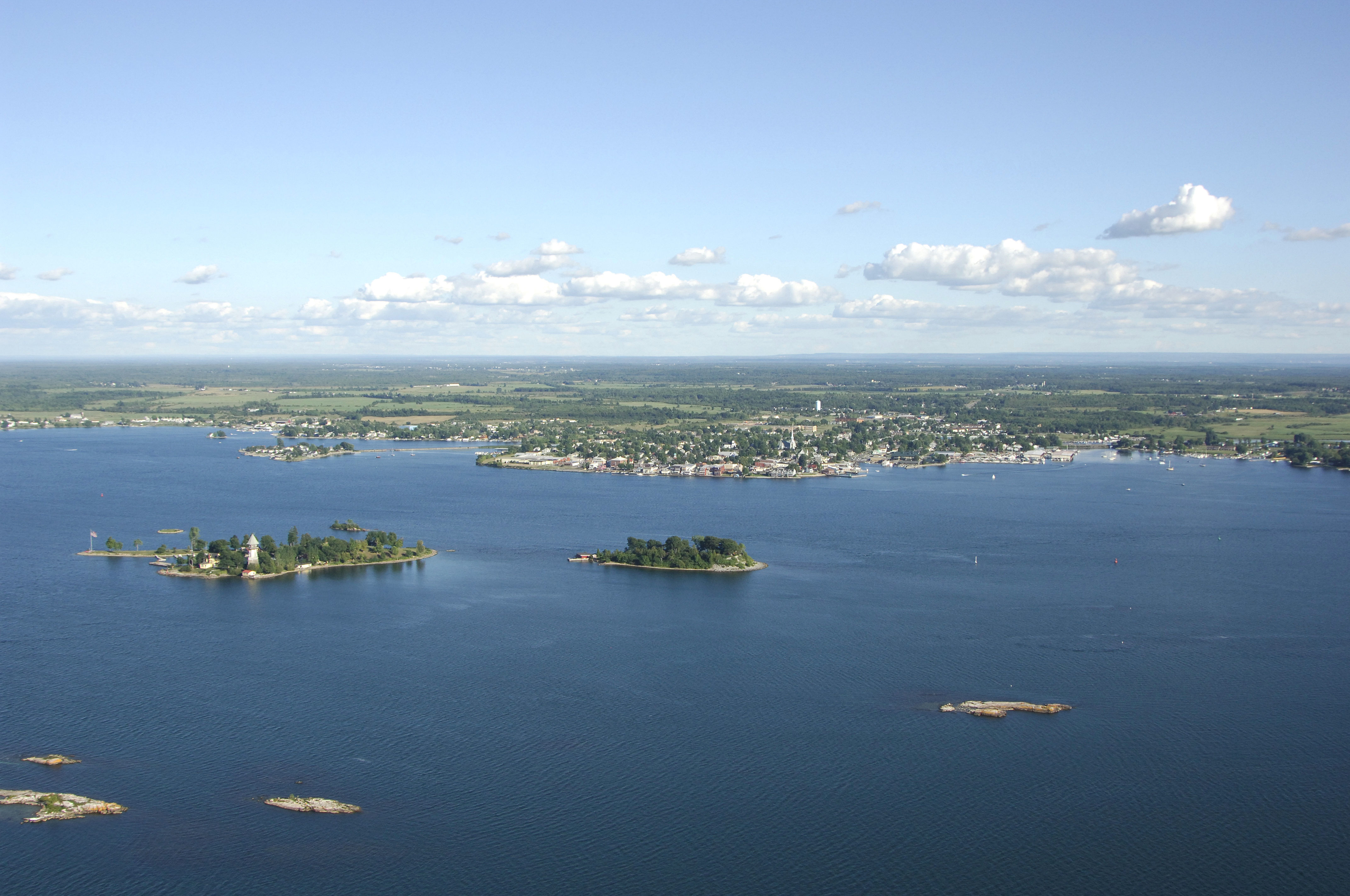
Clayton Area - Northeast - New York, United States
shopping cart Sign Up Log In
Advanced Search Help

 
MainDescription
Map of Clayton Area - Northeast: View Full Map

Clayton Area - Northeast


Location
City Islands area off Clayton
State New York
Country United States


Navigation
Latitude 44° 15" 10'
Longitude -76° 4" 8'
Format DD DMS
Body of water St. Lawrence River
Current Conditions
Monday
Tuesday
Wednesday
Temperature: 27F
Dewpoint: 27F

Clear
High: 52F
Low: 34F

Partly Cloudy
High: 47F
Low: 34F

Mostly Cloudy
High: 54F
Low: 38F

Chance of Rain

Introduction:
Located among the beautiful landscape of the Saint Lawrence Seaway’s 1000 Island area, Clayton, NY, is a beautiful and well-equipped river village that has over six excellent marinas on its shores. Clayton is situated about 12 miles to the southwest of Alexandria Bay and 15 miles downstream (northeast) from the town of Cape Vincent at the Saint Lawrence Seaway entrance.

There are seven marinas lining the shores of Clayton, and all but one of them will accept transient guests at their slips. Four of the facilities have lifts for haul-outs and repairs, but unfortunately, gas is the only fuel you can buy here. Diesel engine owners must head 12 miles farther to Alexandria Bay to fuel up.

Navigating the Water:
Use NOAA Chart 14744 and Canadian Hydrographic Services Chart 1437.

There are two primary harbors in Clayton. The large main harbor with most of the marinas and town waterfront is located to the southeast of Bartlett Point, while a smaller secondary harbor with two marinas is tucked behind Washington Island to the east.

To approach the main harbor, depart the Saint Lawrence Seaway south of Calumet Shoal at flashing green buoy “225.” Once you have begun your southward trek into the harbor, three unnumbered private aids (two buoys and one fixed light) will serve to guide you into the harbor, but are specifically designed to mark two of the marinas here. You May anchor in the harbor, but be advised that it is open to wind and wakes from all directions but the south.

The smaller yacht harbor is located behind Washington Island and can be reached form the Saint Lawrence Seaway via flashing green buoy “1,” which is located northwest of Washington Island. From the flashing green buoy, round Washington Island toward the east, and then work your way into the marinas.

Local Notices to Mariners:
Local Notices to Mariners are now exclusively available online from the U.S. Coast Guard.