

Havre de Grace Harbor
Havre de Grace, Maryland United States
Marinas near Havre de Grace Harbor
| Name | Reviews | Max LOA | VHF | Dock Depth | Gas / Diesel | Lift / Crane | Wifi | Amps |
|---|---|---|---|---|---|---|---|---|
| Havre de Grace Marine Center | - | 16 | - | - | LYes | 30, 50 | ||
| Riverwalk Marina | - | 0.0 m | - | Low 0.0 mHigh 0.0 m | - | - | - | - |
| Perryville Yacht Club at the Riverwalk | - | - | - | - | - | - | - | - |
| Captain Lee's Marina | - | - | - | - | LYes | - | - | |
| Log Pond Marina | - | 16 | - | - | - | - | - | |
| Tidewater Marina | - | 16 | Low 6.0' | G$4.849/galD$5.299/gal | LYesCYes | 30, 2x30, 50 | ||
| Penns Beach Marina at Heron Harbor | 0.0' | - | Low 12.0'High 0.0' | - | - | - | - | |
| Havre de Grace City Yacht Basin | 0.0' | - | Low 0.0 mHigh 0.0 m | GYesDYes | - | - | - | |
| Tomes Landing Marina | 0.0 m | - | Low 0.0 mHigh 0.0 m | - | - | - | - | |
| Craft Haven Marina | - | - | - | - | GNearbyDNearby | - | - | - |
| Chestnut Point Marina | - | - | - | - | - | - | - | - |
| Wellwood Yacht Club | - | 0.0' | - | Low 0.0 mHigh 0.0' | - | - | - | - |
| Charlestown Marina | - | 16 | - | G$3.64/galDYes | LYesCYes | - | - | |
| Lee's Marina | 0.0' | - | Low 0.0 mHigh 0.0' | - | - | - | - | |
| North East River Marina | 55.0' | - | Low 4.0'High 0.0' | - | - | - |
Transportation:
Harford County Transit provides regular bus service to and from the town of Aberdeen, where one can pick up a Maryland Transit Authority (MTA) bus on farther south to Baltimore or to the Baltimore Washington International Airport (BWI). BWI Airport is located about 40 miles south of Havre de Grace and offers major commercial carrier service at regular intervals.
Rental cars are available in Havre de Grace for those wishing to do a bit of exploring on the Upper Western Shore, thought wed recommend using Baltimore as a better equipped bas for checking out the area. See the Helpful Links section below.
Helpful Links:
Introduction:
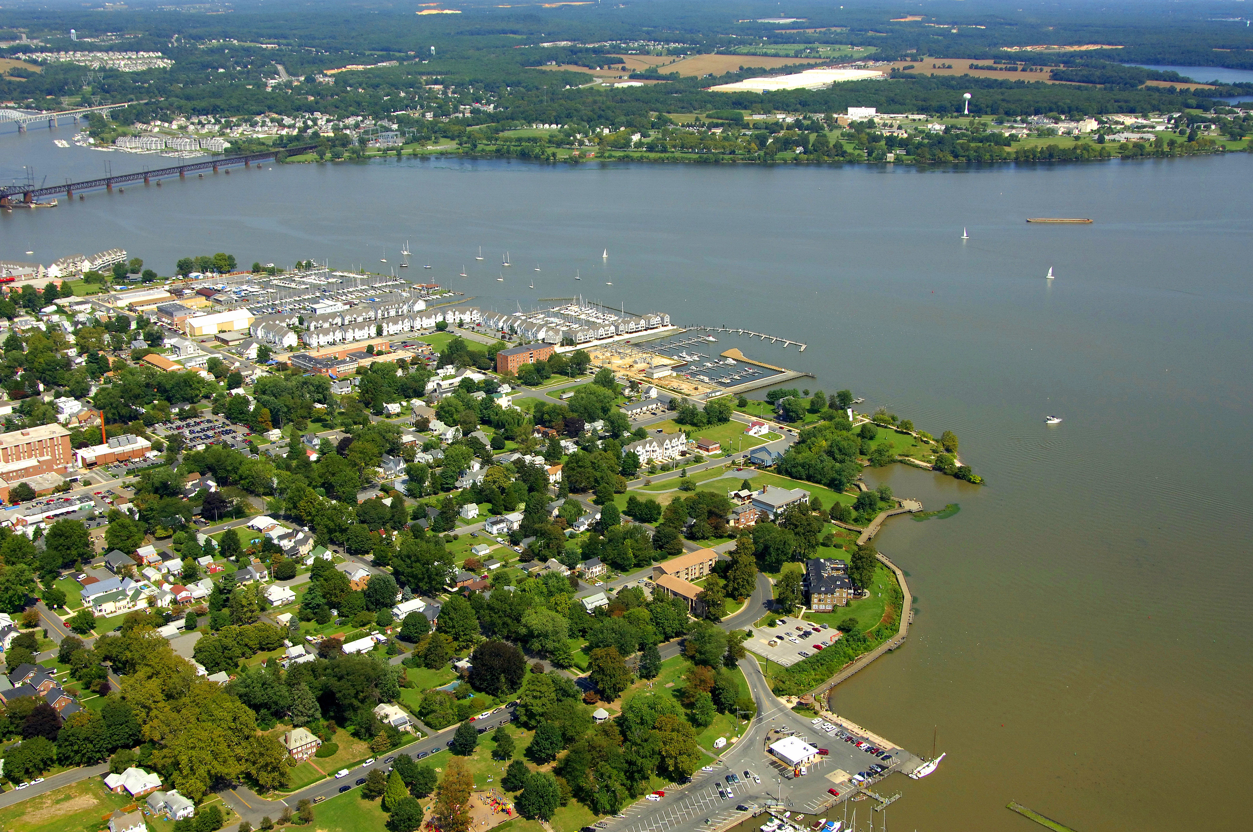
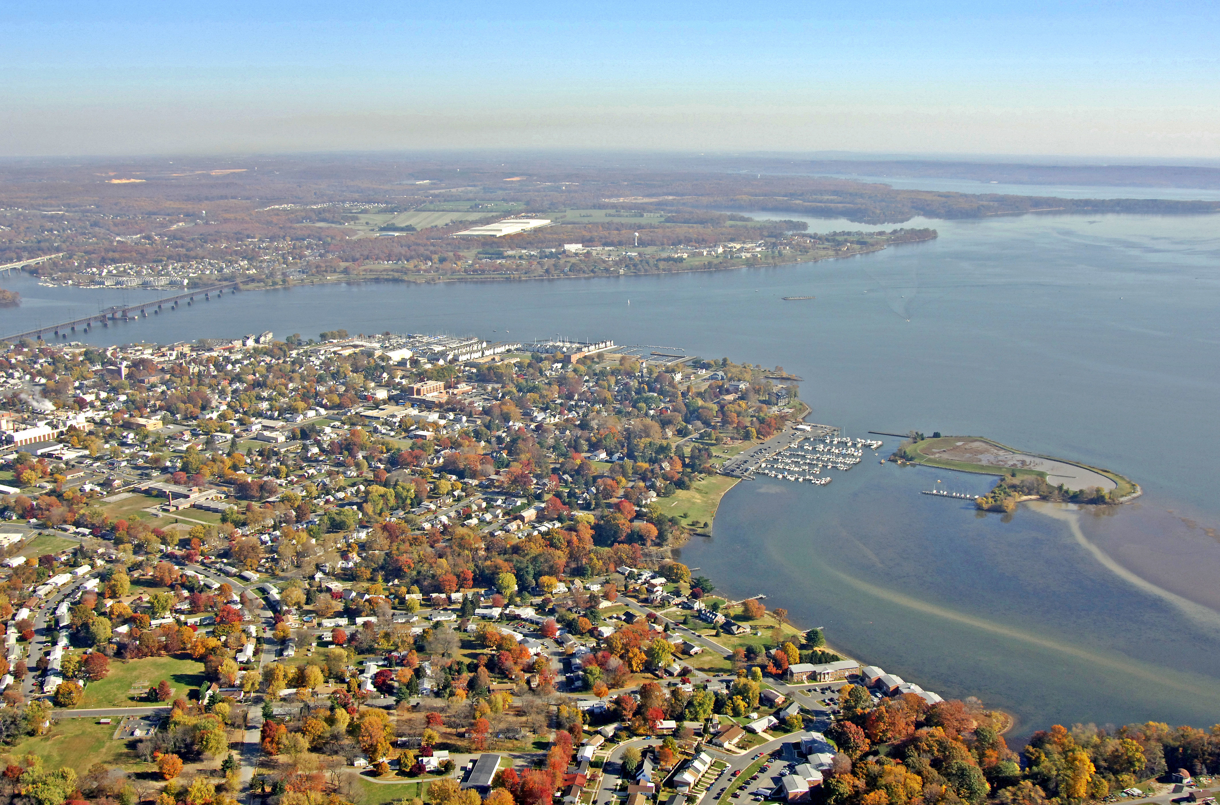
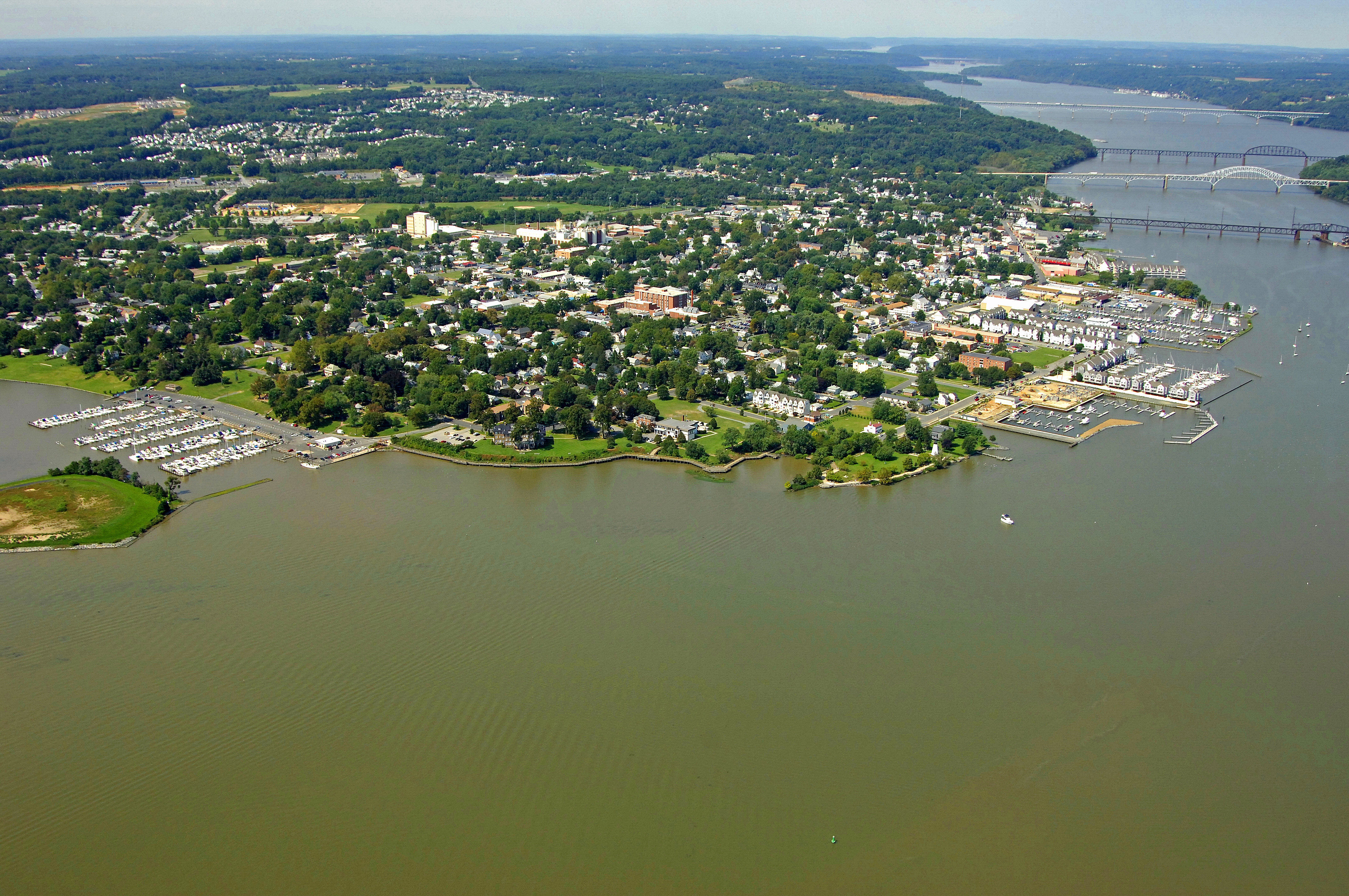
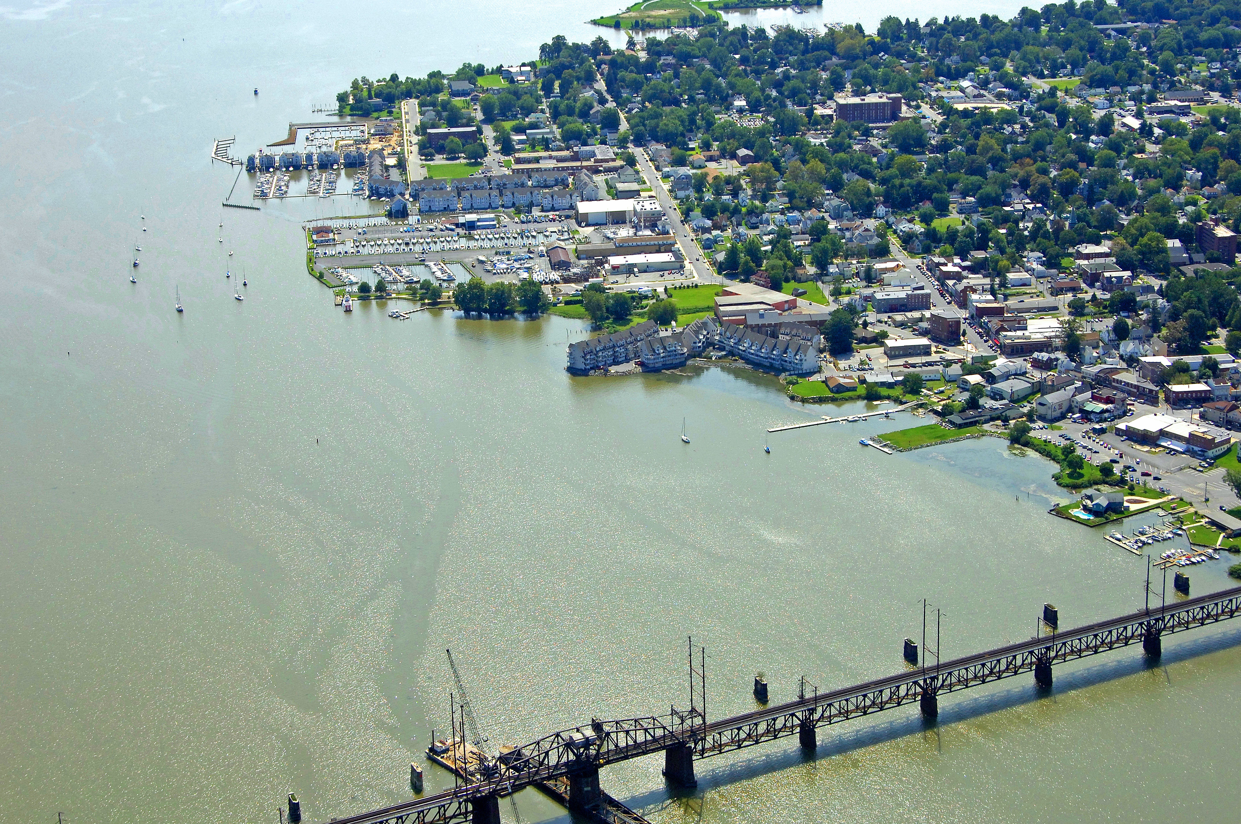
The City of Havre de Grace is located in northeast Maryland at the mouth of the Susquehanna River on the Chesapeake Bay . The City is centrally located between Wilmington , DE , which is forty miles to the northeast, and Baltimore, MD, which is thirty-five miles to the southwest. These cities are connected by US 40, which extends through the City, and the John F. Kennedy Memorial Highway (Interstate 95), located just northwest of the City. Havre de Grace is in the eastern corner of Harford County and constitutes one of the three municipalities in the County. Other municipalities include the City of Aberdeen located three miles to the southwest, and Bel Air, the County seat, which is located thirteen miles west of the City. Northeast of Havre de Grace, across the Susquehanna River , is Perryville, which is a small community located in Cecil County.
[i]Information Courtesy City of Havre de Grace[/i]
History:
The first recorded history of Havre de Grace dates back to the mid-1500's. An Englishman named Wyth created a preliminary map of the Bay in 1585, but it was not until John Smith's exploration of the Upper Bay and Susquehanna River area in 1608 that a detailed description of the area was recorded. The City became known as Havre de Grace in or around 1782. According to legend, Lafayette referred to the City as Havre de Grace in a letter to George Washington. The letter stated that the site reminded him of the French seaport, Le Havre . Havre de Grace was incorporated as a Town in 1785.
[i]Information Courtesy City of Havre de Grace[/i]
Navigating the Water:
Use NOAA Chart 12273.
Havre de Grace is reached by boat via an approach form the south across the Susquehanna Flats. From the main Chesapeake Bay shipping channel, you will pick up flashing red GA at Sandy POint on Speuitie Island. After clearing Sandy Point, follow the series of lit buoys around to the north to Locust Point.
East of Locust Point, the approach channel to Havre de Grace starts at green can 6. Set a course to the north making sure to mind the intermediate lit marker at Fishing Battery and at flashing red buoy 1. The channel has 13-foot depths all the way to havre de Grace. Once in Havre de Grace, keep an eye on your position, as currents from the Susquehanna River can be quite strong.
Local Notices to Mariners:
Local Notices to Mariners are available online from the U.S. Coast Guard.
Things To Do/Local Events:
See the Helpful Links section below for a full calendar of events.