Sampsons Island Anchorage
| Cotuit, Massachusetts United States | |
| 41° 36' 30.55'', -70° 25' 53.39'' | |
| Osterville Harbor |
You might also consider...

10 Reviews
Multiple moorings located in Cotuit Bay. Within the Cotuit Town Dock mooring ... Read More
2 Reviews
Town of Barnstable Harbormaster operated Transient Moorings located in Hyanni... Read More

3 Reviews
Gateway Marina is a small marina and is town owned; located in the village of... Read More
Details
| Depth | 7' |
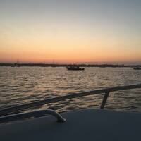
| Description | With good holding in sand and mud, this anchorage is a nice stop along the Cotuit-North-West Bay Circuit. |
| Wind protection direction | Somewhat exposed to the northeast |
| Wake protection direction | Somewhat exposed to the northeast |
Reviews
No reviews yet! Be the first to write a review of Sampsons Island Anchorage.