


North Providenciales Island Harbor
Providenciales, Turks and Caicos Islands
Marinas near North Providenciales Island Harbor
| Name | Reviews | Max LOA | VHF | Dock Depth | Gas / Diesel | Lift / Crane | Wifi | Amps |
|---|---|---|---|---|---|---|---|---|
| Public Dock At Watkin Park | - | - | - | - | - | - | - | - |
| Turtle Cove Marina | - | 0.0 m | - | Low 0.0 mHigh 0.0 m | - | - | - | - |
| Southside Marina | - | 0.0 m | - | Low 0.0 mHigh 0.0 m | - | - | - | - |
| The Marina at South Bank | - | - | - | - | GYesDYes | LYesCYes | - | - |
| Turks & Caicos Yacht Club | - | 0.0 m | - | Low 0.0 mHigh 0.0' | - | - | - | - |
| Blue Haven Marina | - | - | 16 | - | GYesDYes | - | - | |
| West Caicos Marina | - | - | - | - | - | - | - | - |
| North Caicos Yacht Club & Marina | - | - | - | - | - | - | - | - |
| Fish Plant | - | - | - | - | - | - | - | - |
| East Bay Dinghy Landing | - | - | - | - | - | - | - | - |
| Seaview Marina | - | - | - | - | - | - | - | - |
| Salt Dock | - | - | - | - | - | - | - | - |
| Grand Turk Public Dock | - | - | - | - | - | - | - | - |
| Grand Turk Tourist Office | - | 0.0 m | - | Low 0.0 mHigh 0.0 m | - | - | - | - |
| Grand Turk Fishing Boat Dock | - | - | - | - | - | - | - | - |
Introduction:
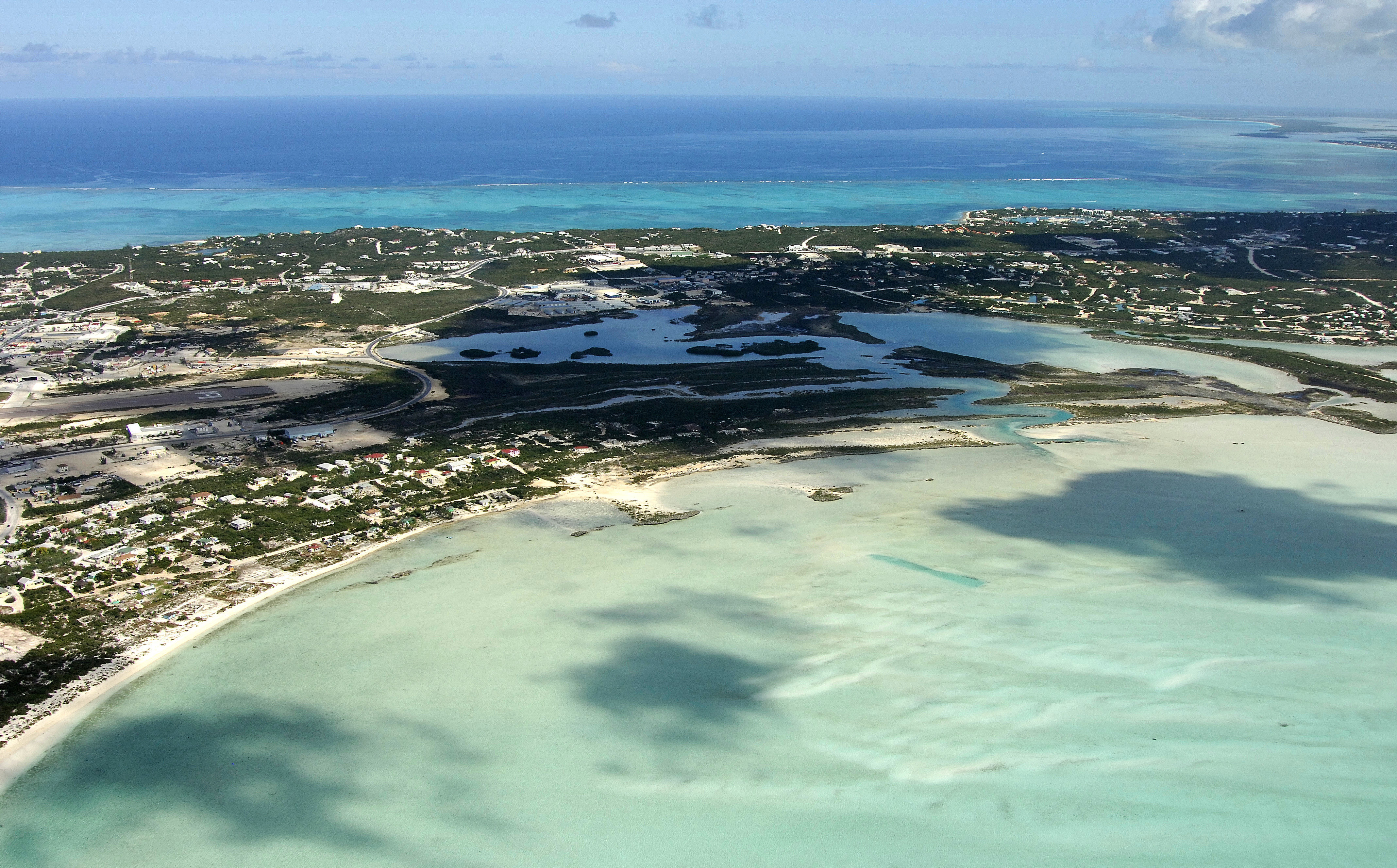
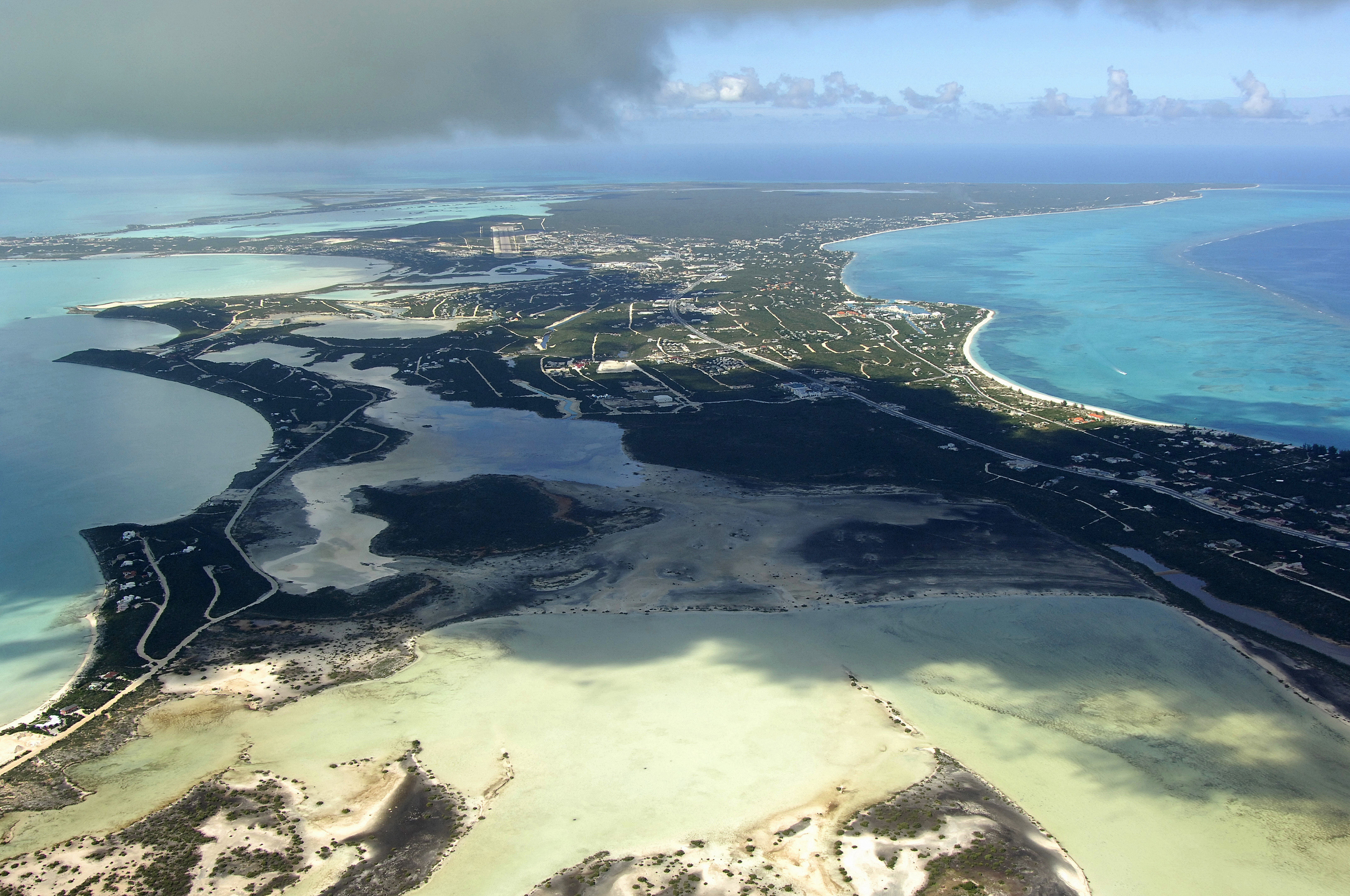
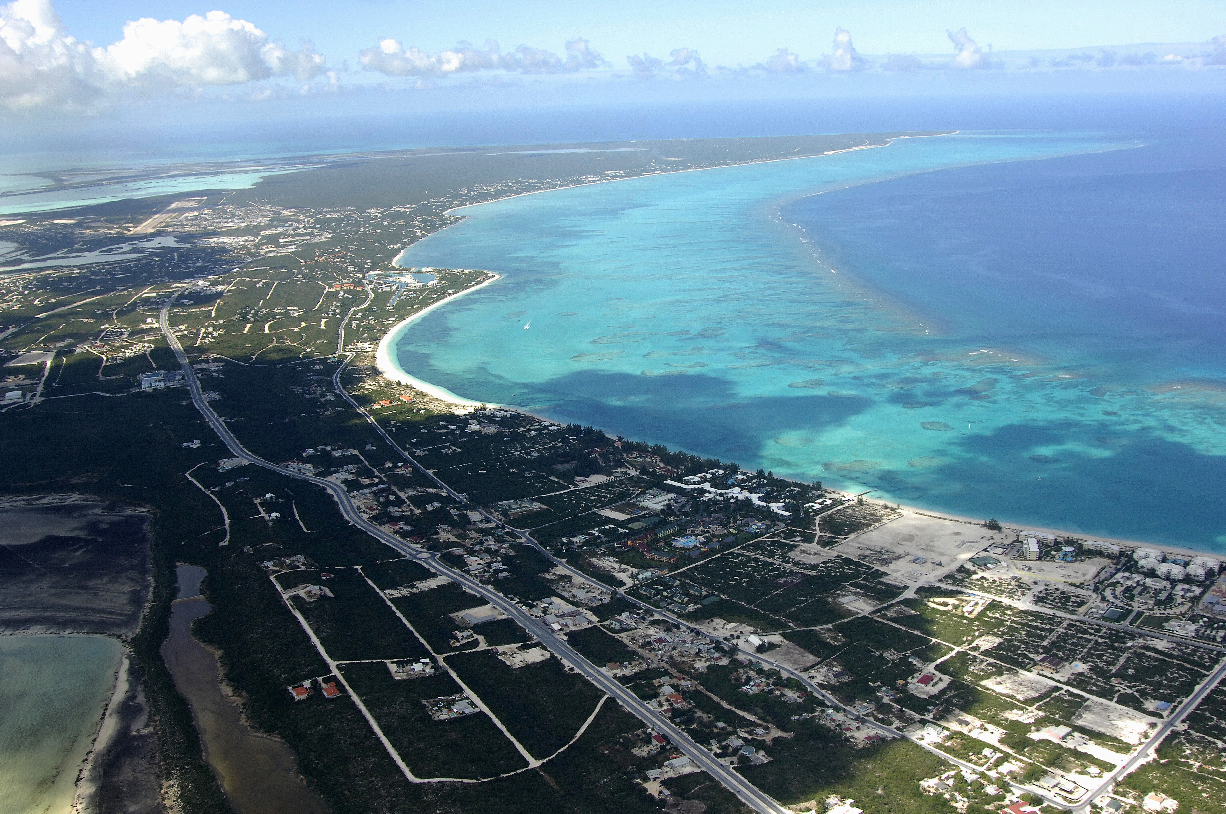
For the purposes of this discussion, we will cover the Central North Coast of Providenciales in the area north of the Providenciales Airport. This is the location of Sellars Pond and Sirus Cove, two protected areas that are immensely popular with cruisers and sport fisherman.
Navigating the Water:
There are several breaks in the coral reefs that line the north shore, but by far, the most popular yachting area on the North Coast is Sellars Pond, which is home to the Turtle Cove Marina.
This area is reached via an approach from Grace Bay into Sellars Cut, which leads to a twisting, turning passage through the coral back to the protected harbor. The break in the coral reef at Sellars Cut is visible in the image above on the lower left (east), and Sellars Pond is visible farther off to the right (it is the little cove in the center of the image on land).
Sellars Cut has 10- to 13-foot depths, but the entrance can be dangerous in strong northerly winds. Approaching from the north, a pair of red and green markers outline the cut entrance. Once you have cleared the break in the coral, the passage winds southwest along a series of red and green daybeacons (the red daybeacons mark the outer edge of a long coral patch), and then cuts sharply to the west through English Cut, and then south to Sellars Pond. The entire passage is well marked, but if you have any doubts, call ahead on the VHF to Turtle Cove Marina for local knowledge.
There is anchorage available in Sirus Cove, which is just west of the inlet to Sellars Pond. Depths here are 7 to 8 feet with a sandy bottom. Anchoring along any other portion of the passage from Sellars Cut is not recommended.
Local Notices to Mariners:
See our Local Notices to Mariners blog for updates on the latest conditions and advisories for this area.
Helpful Links:
Turks and Caicos Islands Tourism
Guide to Providenciales Island