Bass River Inlet
| South Yartmouth, Massachusetts United States | |
| 41° 38' 40.92'', -70° 11' 51.01'' | |
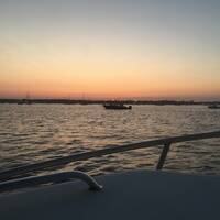
| Bass River in West Dennis Harbor |


You might also consider...


About
Introduction:
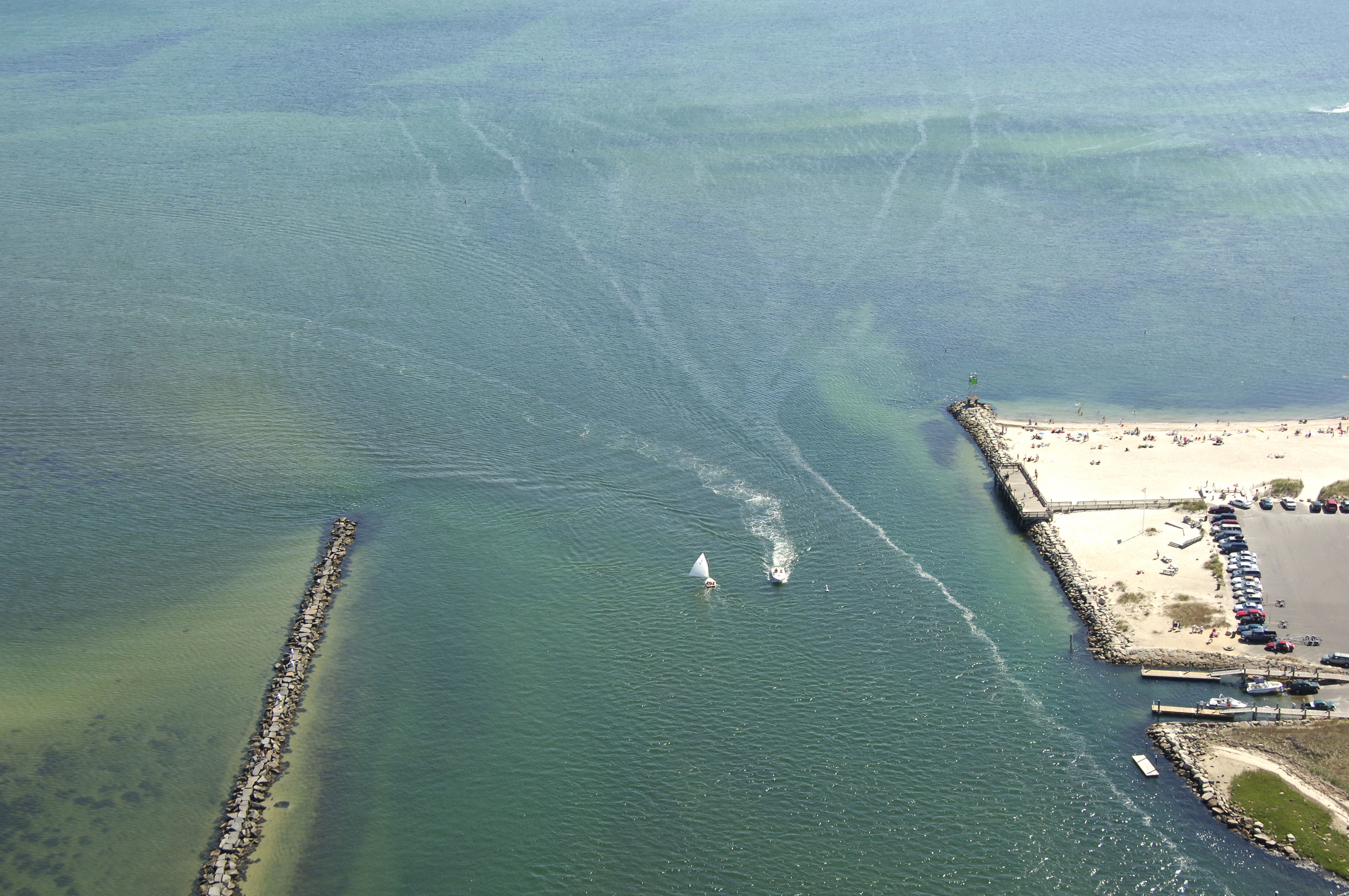
The Bass River Inlet allows access to the Bass River and the towns of South Yartmouth and West Dennis. The Bass River is 23 miles north of Nantucket and 25 miles northeast of Marthas Vineyard on the south shore of Cape Cod. South Yartmouth has one marina that may have transient space available, and there is anchorage room available off the channel at the river's head. West Dennis is located on the east side of the river.
Navigating the Water:
Use NOAA Chart 13229.
From Nantucket Sound, flashing red bell buoy "2" marks the beginning of the entrance channel to the Bass River. Once you have picked up the flashing red buoy, set a course for green can "5" and red nun "6" near the mouth of the river, but make sure keep an eye on the depth sounder if you draw five feet or more. Despite the markers, there are several four foot deep spots before the channel, and in some places right in the channel.
Flashing green "11" and red nun "1" mark the boundaries of the channel at Parkers Neck. Head in from here, making sure to stay within the channel boundary set out by the markers. Depths along most of the river range from five to eight feet, but shallower spots do exist and are worth keeping an eye out for.
There are marinas in South Yartmouth and West Dennis, and there are two marked anchorages: One at the mouth and one farther up south of both of the towns.
Local Notices to Mariners:
Local Notices to Mariners are available online from the U.S. Coast Guard.