Ashley River Inlet
| Charleston, South Carolina United States | |
| 32° 45' 57.97'', -79° 56' 44.88'' | |
| Charleston |

You might also consider...
About
Introduction:
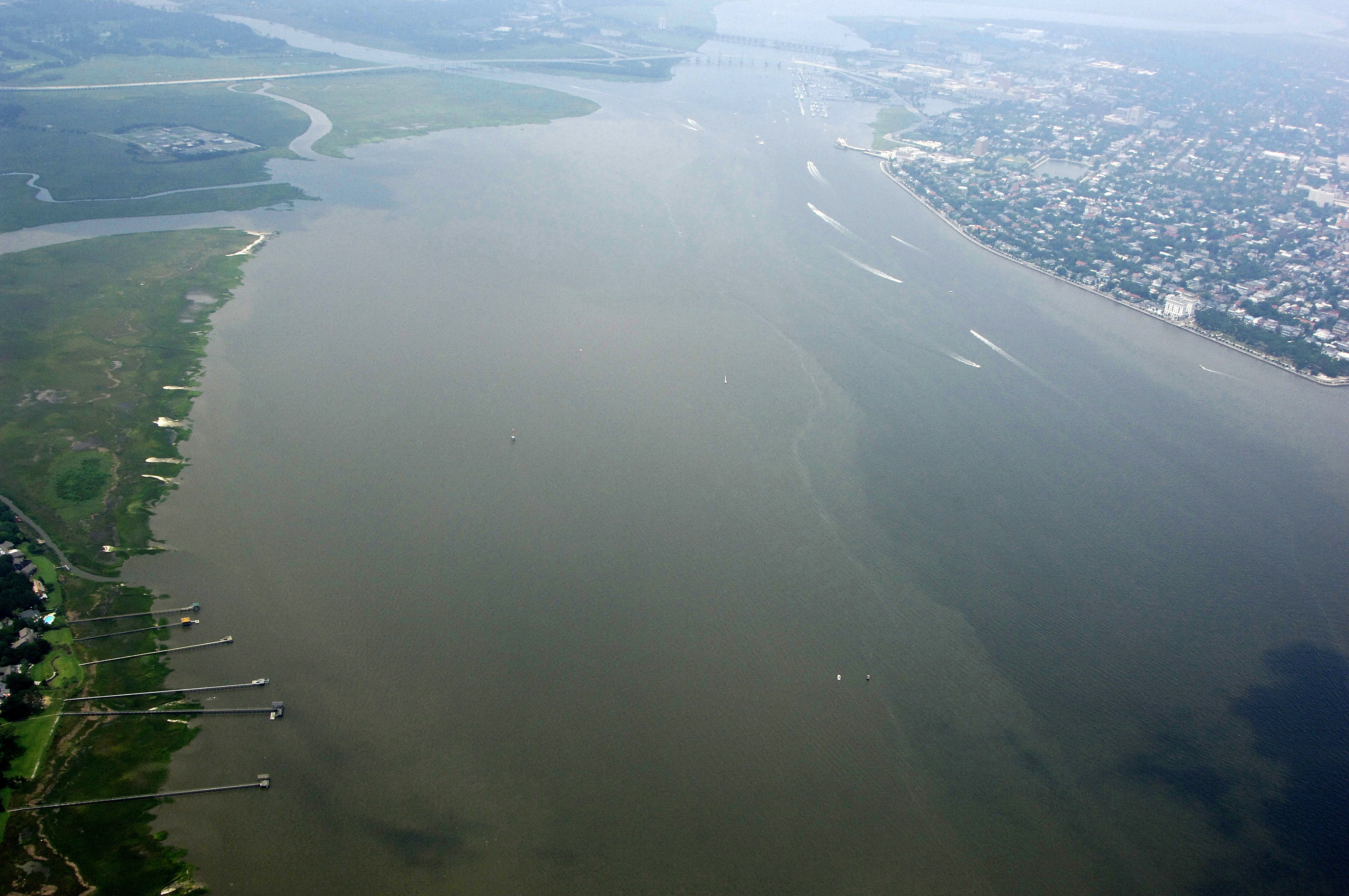
The Ashley River runs along the shoreline of the west wide of the city of Charleston and serves as the primary boating venue for the area. Charleston is 70 miles northeast of Hilton Head and 100 miles southeast of the South Carolina-North Carolina border.
Charleston is a popular stop on the Intracoastal Waterway and rightly so. In addition to the great marinas, you will find museums, shopping, restaurants and many interesting attractions in town. Provisioning is easy with many markets situated close to the waterfront. Charleston is usually the last stop for Waterway cruisers before reaching Beaufort or Hilton Head Island to the south.
Navigating the Water:
Use NOAA Chart 11518.
From Charleston Harbor and the Intracoastal Waterway at Mile Marker 465, pick up flashing red buoy 2 northwest of Fort Sumter, and then chart a course toward flashing (red) red and green buoy BP about two statute miles to the west. The South Channel Range will help guide you along the deepest water between these two points.
Once you have cleared buoy BP, you can follow another lighted range to red nun 2, flashing green 3, and red nun 4 into the primary anchorage and marina area on the Ashley River.
Most of the marinas are situated in and around the Calhoun Street Bridge (56-foot fixed vertical clearance) north of Wappoo Creek. Two large marinas have floating docks, transient facilities and fuel available on the east side of the river and a protected yacht harbor is located to the west. There is one close by facility above the twin bascule bridges (18- and 14-foot closed vertical clearances) northwest of the municipal marinas.
Mariners should be advised that currents here are very strong and sometimes run on a magnitude of three to four knots. This requires special handling at fuel docks and while tying up, but most of all when setting the hook in the anchorages surrounding the marinas. Many boats pull their hook every year here because of careless anchoring practices. Back down on your anchor and make sure it is set before you settle in for the evening.
Local Notices to Mariners:
Local Notices to Mariners are available online from the U.S. Coast Guard.