Jobos Bay Inlet

You might also consider...


About
Introduction:
Jobos Bay is located on Puerto Ricos southern coast, and is the second largest estuary (fresh water from land mixes with salt water from sea) in the country. In addition to this, it is considered to be the finest area to seek shelter from a hurricane on the entire island (note the many mangrove swamps in the image above). Jobos Bay and Port Jobos are 27 miles east of Ponce and 40 miles southwest of San Juan.
Port Jobos is an official port of entry (located to the east [right] of the image above), and you can check in here if arriving from out of country. San Felipe, visible in the upper right portion of the image above, is mainly an industrial port.
Navigating the Water:
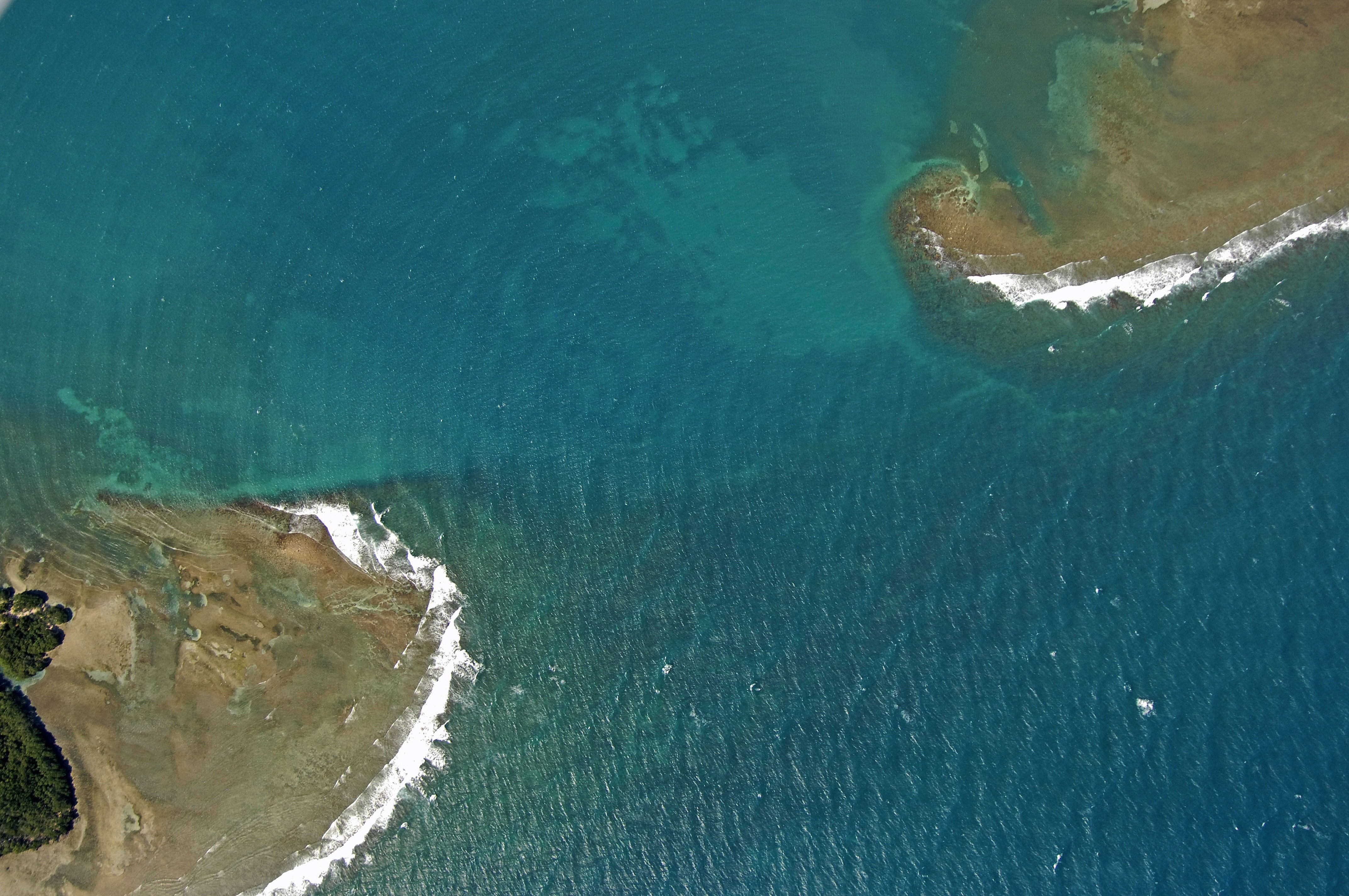
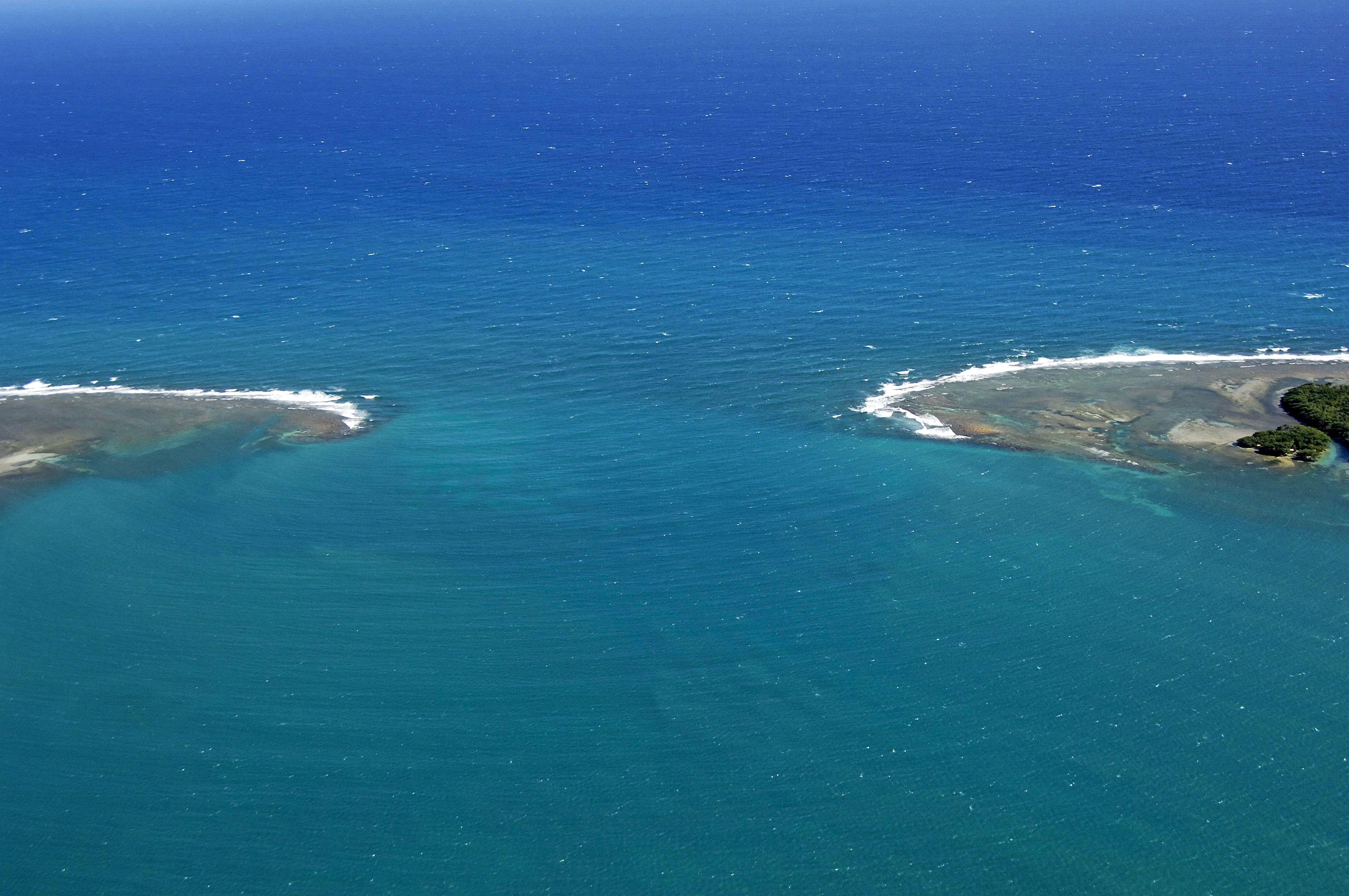
The main entrance to Jobos Bay from the Caribbean Sea is shown above at Boca del Inferno, a passage between Cayos Caribes to the east (right) and Cayos de Barca to the west (left). Simply minding the deeper colored water will keep you in the best depths, which average between 17 and 25 feet.
Once you have cleared the inlet, San Felipe is located directly to the north, or alternatively, you can head to the east toward Jobos Bay-proper and Port Jobos (see our Port/Harbor Overview coverage of Port Jobos for more details).
Local Notices to Mariners:
See our Local Notices to Mariners blog for updates on the latest conditions and advisories for this area.