| 1900 Western Dr. Richmond, CA 94801 | |
| 37° 57' 47.66'', -122° 25' 6.56'' | |
| 510-233-3224 | |
| www.pspharbor.com | |
| Richmond |




You might also consider...


About
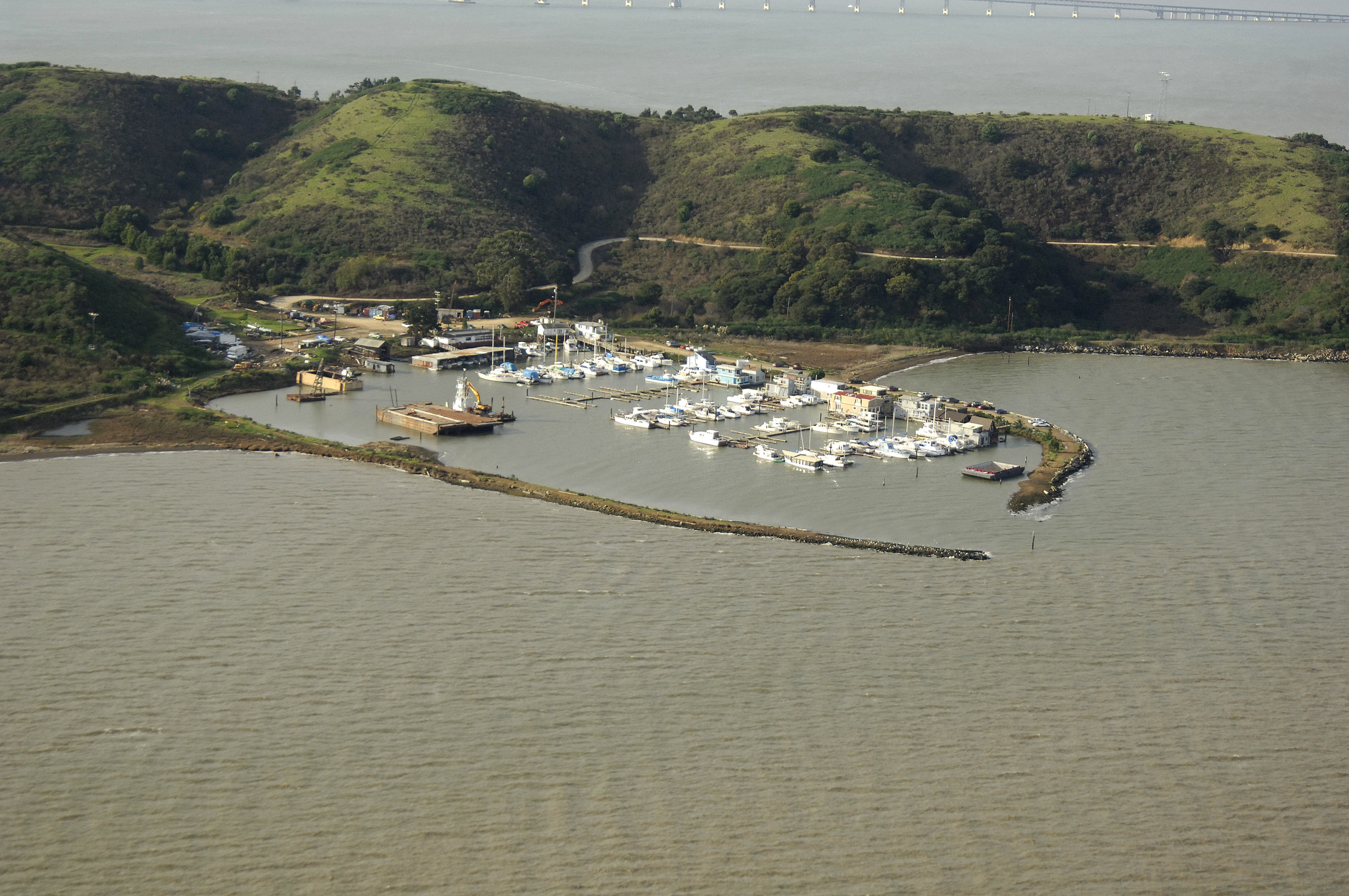
Point San Pablo Harbor is a marina and recreational boat harbor located in Richmond, California. We currently have slips available for recreational and commercial vessels. We host weddings and private events.
We currently have slips available for recreational and commercial vessels only. Day use boats will be considered. Sorry, no live-aboard applications are currently being accepted.
Berth Capacity
Approach
Services & Amenities
Reviews
One thing anyone considering living or keeping a boat at Point San Pablo Harbor should understand is the environmental history of this location. The harbor sits on the Point San Pablo peninsula, immediately north of the Chevron refinery complex. Historical Bay Area Air District modeling has shown some of the highest modeled refinery related cancer risks on refinery property and in the waters surrounding the refinery and its loading berth, with modeled impacts extending north and northeast toward the Point San Pablo area. There is also the history of Castro Cove directly adjacent to this area. According to NOAA, refinery and industrial wastewater was discharged into Castro Cove from 1902 through 1987, leaving sediments contaminated primarily with PAHs and mercury. NOAA’s description of the site actually uses Point San Pablo Yacht Harbor as one of the reference points defining the boundary of Castro Cove. Farther out on Point San Pablo, Richmond Terminal 4 also has a documented history of petroleum and industrial chemical releases affecting soil and groundwater. I lived at Point San Pablo Yacht Harbor, and I wish I had understood more about the environmental history of the surrounding area when I was there. This is a beautiful and unusual location, but anyone considering spending significant time here should research the refinery, Castro Cove, and the surrounding industrial sites and make their own informed decision.