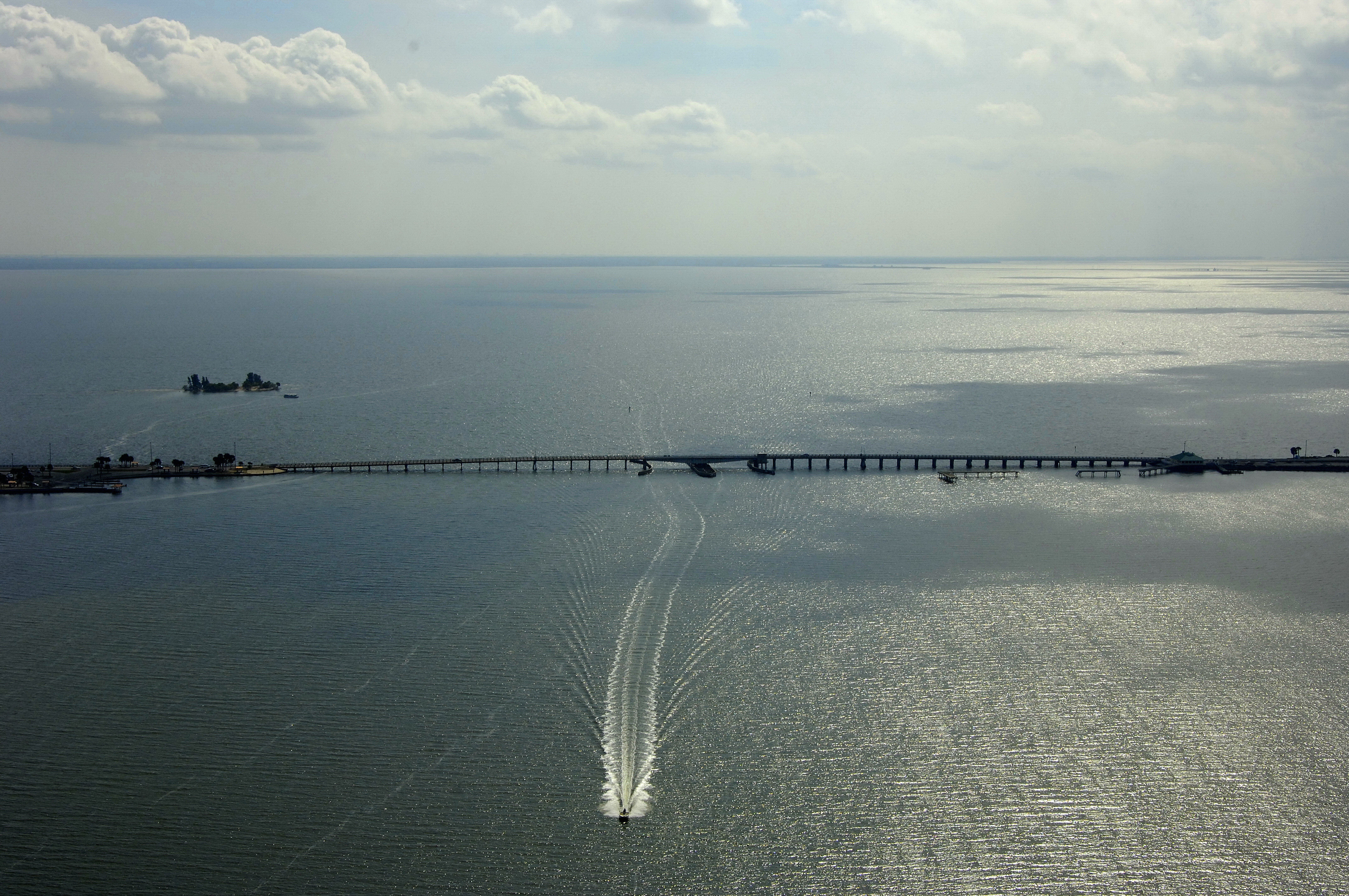
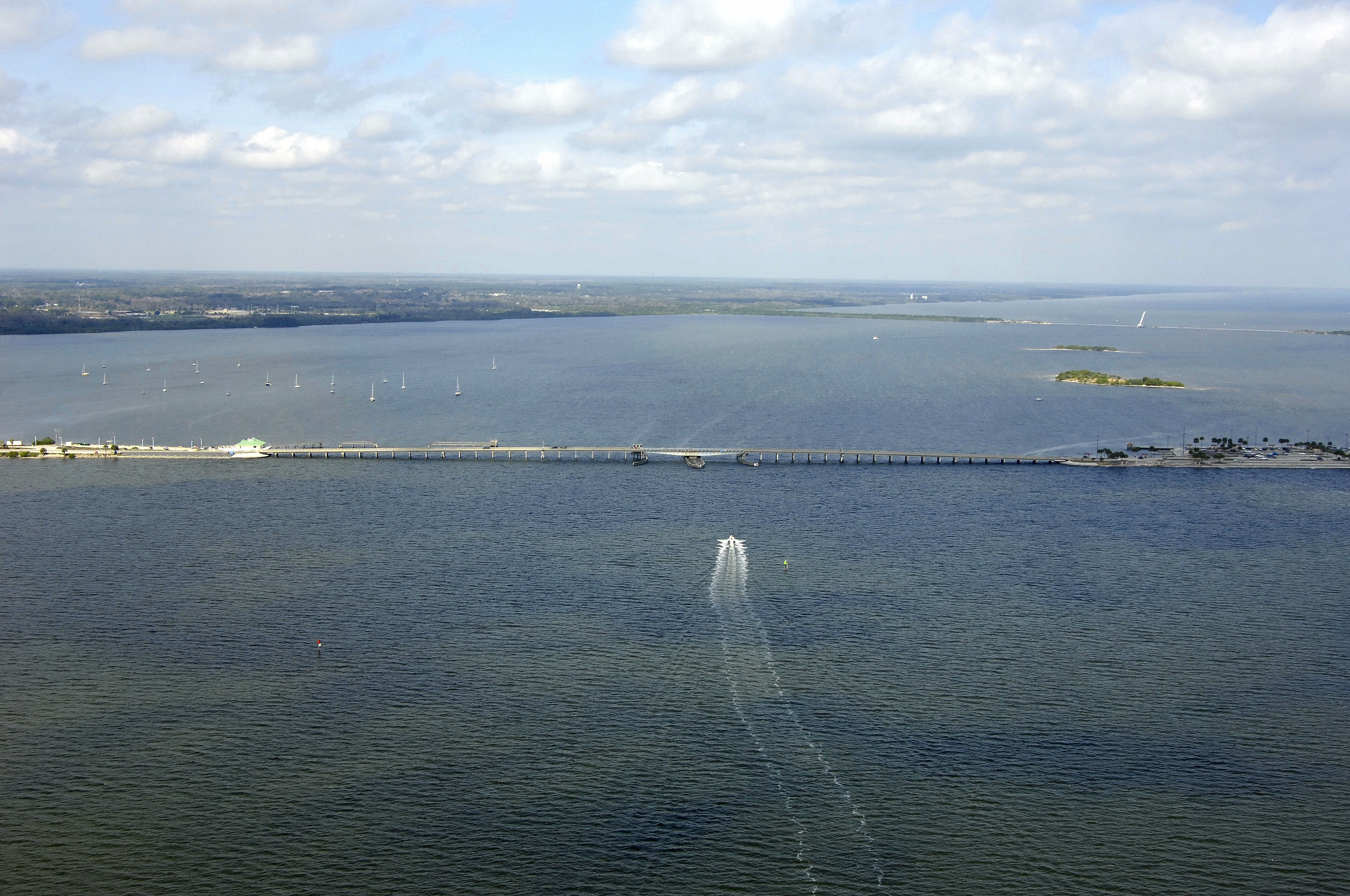
Max Brewer Bridge
| Florida United States | |
| 28° 37' 12.0'', -80° 47' 51.0'' | |
| Titusville |

You might also consider...


Details
| Bridge type | Fixed |
| Closed vertical clearance | 65' |
About
Navigating the Bridge:
Use NOAA Chart 11486.
This bridge has a closed vertical clearance of nine feet with 81 feet of horizontal clearance at the center span. Approaching from the north after clearing the NASA Railroad Bridge, set a course for flashing red 26, and then farther southward toward the bridge itself. Once clear of the bridge, flashing red 29 guides you farther on. Depths outside the channel are somewhat forgiving, but it is still best to honor all marks as posted.
Bridge Schedule:
This bridge operates on a restricted opening schedule. Year-round, Monday through Friday from 6 to 7:15 a.mm. and again from 3:15 to 4:30 p.m., the bridge does not open. The bridge opens on demand at all other times.
The bridge can be opened by horn signal (one long, one short) or by hailing the bridge tender on VHF Channel 09. (All bridges in the state of Florida must be hailed on VHF Channel 09.)
Local Notices to Mariners:
Local Notices to Mariners are available online from the U.S. Coast Guard.