Fairlee Creek Inlet


You might also consider...


About
Introduction:
Fairlee Creek is a small, but extremely well-protected and beautiful piece of water that is located on Maryland's upper Eastern Shore. Fairlee Creek is 15 miles northwest of the mouth of the Patapsco River and 21 miles south-southeast of the C&D Canal's western entrance near Chesapeake City.
Inside the creek is the expansive Safe Harbor Great Oak Landing marina, where transient slips and a modest repair yard can be found. There are plenty of places to drop the hook and explore, but keep in mind that the entire creek carries about an eight-feet depth . If you draw more than eight feet, you may want to consider deeper locations like Rock Hall Harbor and Swan Creek to the south.
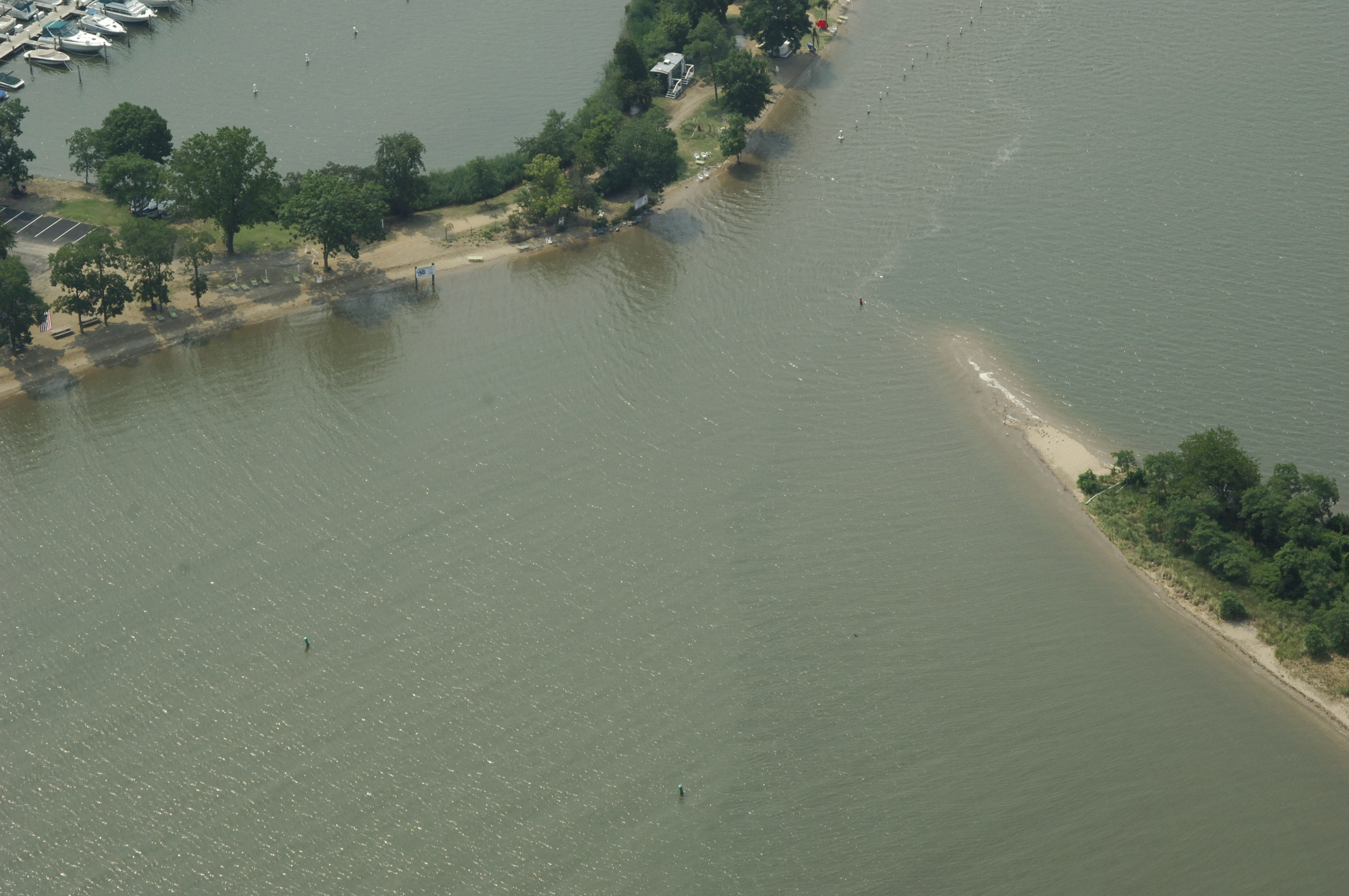
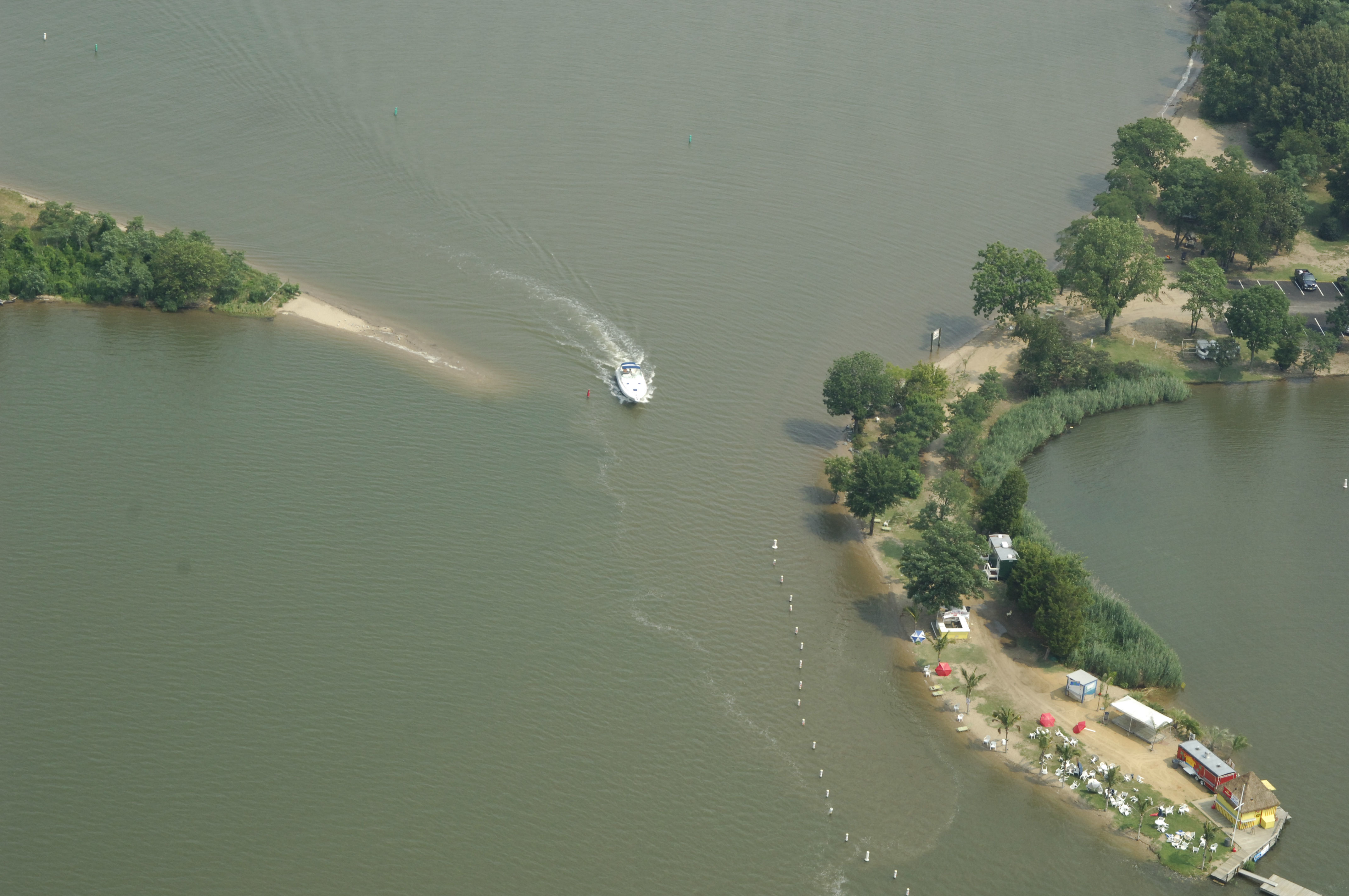
The image above is a view from the north looking south over the mouth of Fairlee Creek where it empties into the Chesapeake Bay. The curvy entrance channel can be seen and several privately placed aids to navigation are visible along the route, the mort important of which is the small red buoy marking the sand spit on the east side of the channel just ahead of the departing boat.
Local Notices to Mariners:
Local Notices to Mariners are available online from the U.S. Coast Guard.
Navigating the Water:
Use NOAA Chart 12278.
Fairlee Creek is located off the main upper Bay shipping channel just east of Pooles Island. From the main Bay channel, exit to the east at flashing red buoy 32 (approximately N39 16.736 W76 13.777), and then set a course of 129 degrees magnetic for about 1.2 miles to pick up flashing red 2F at the mouth of the creek. Shoaling has been reported at the mouth of Fairlee Creek, but carefully placed private aids to navigation often give a good sense of where the deepest water is. A slow and cautious approach with a sharp eye on the depth sounder is the best advice.