Bear Island Lighthouse
| Maine United States | |
| 44° 16' 58.08'', -68° 16' 14.16'' | |
| Seal Harbor |


About
Navigating in and Around the Lighthouse:
Use NOAA Chart 13318.
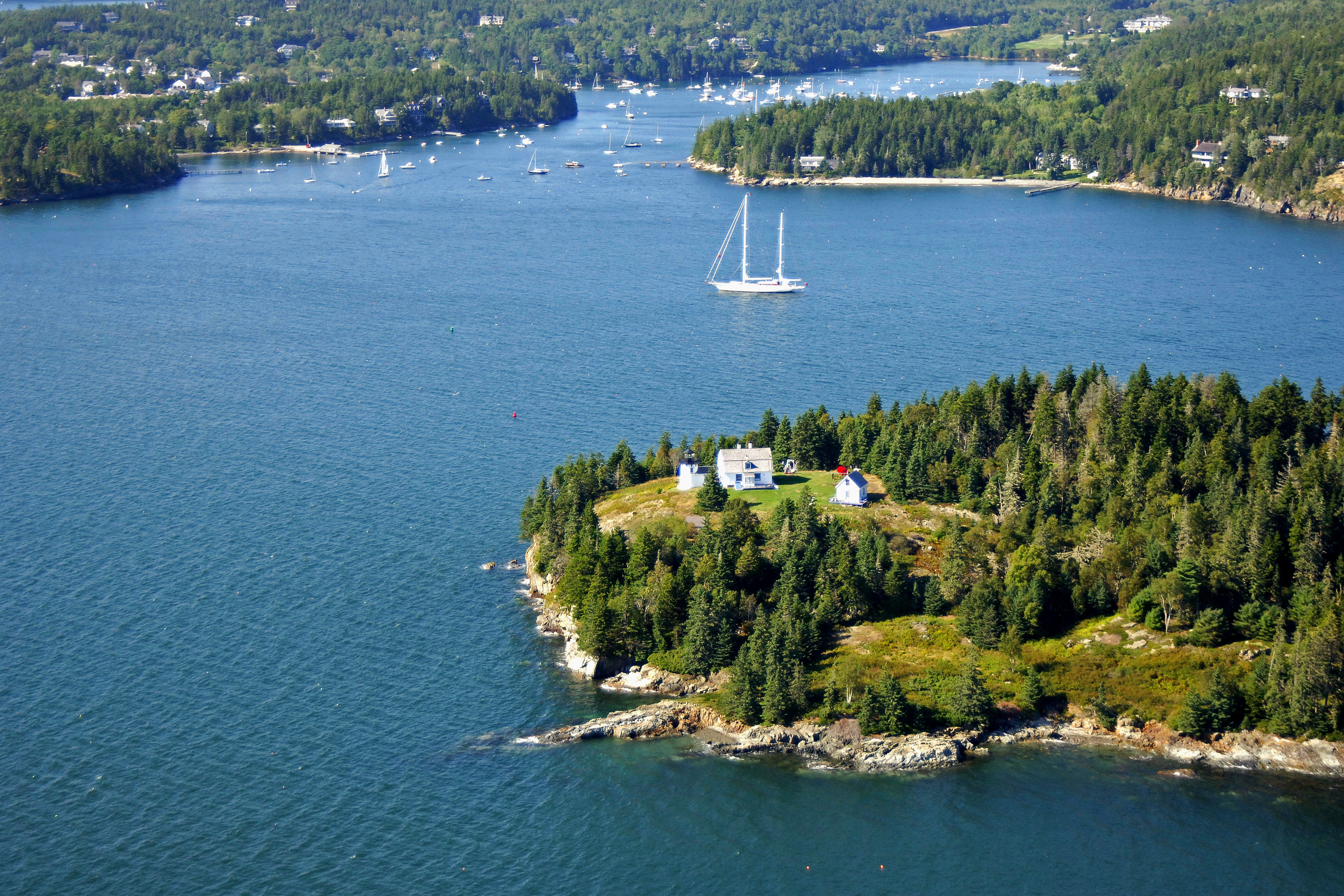
Bear Island lies just north of Sutton Island on the approach to Northeast Harbor. The approach to Bear Island is well lit and deep, aside from the occasional rock ledge, all of which are well lit.
Local Notices to Mariners:
Local Notices to Mariners are available online from the U.S. Coast Guard.
Tour Schedule:
The lighthouse is not open to the general public and is best-viewed form the water by boat.
Introduction:
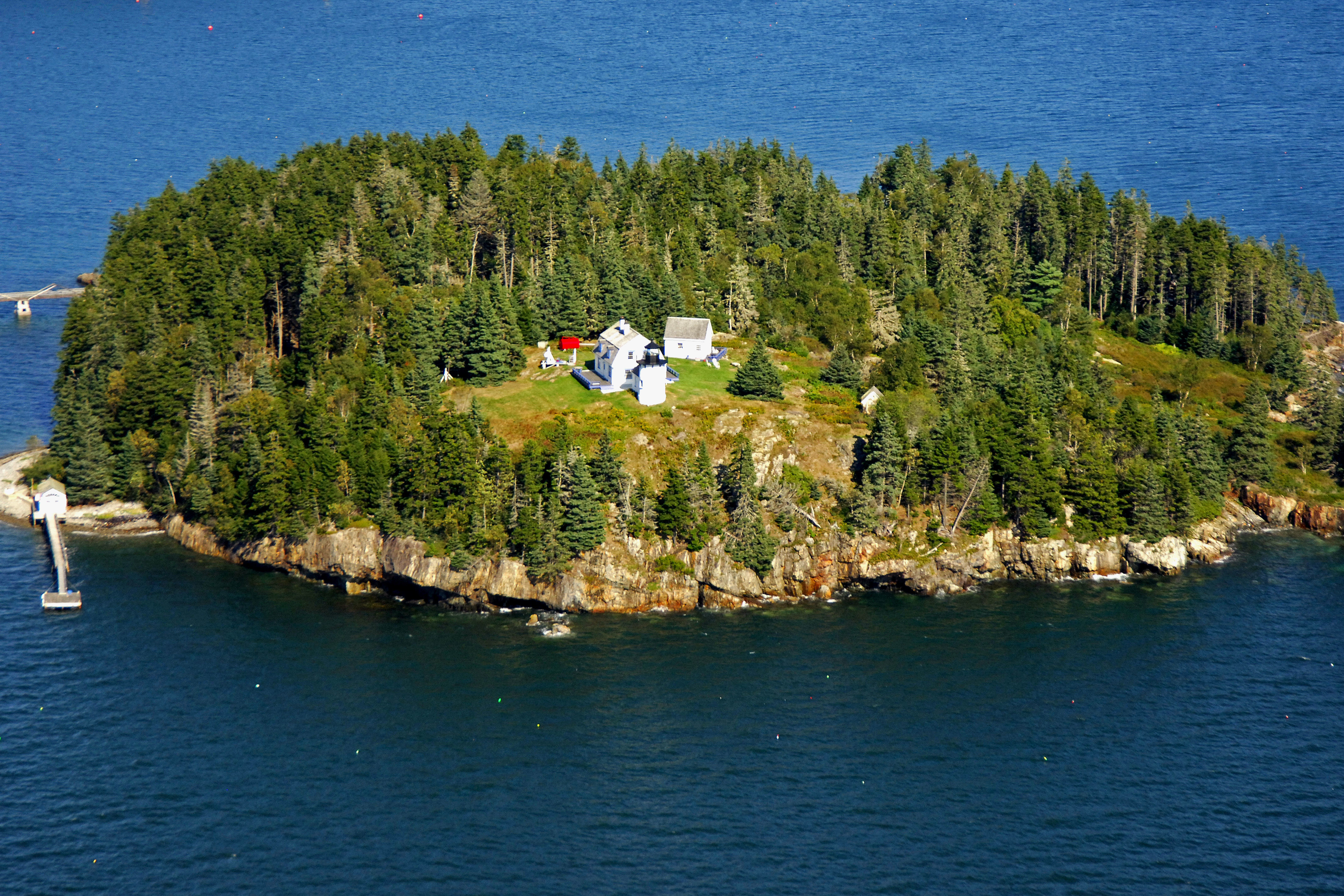
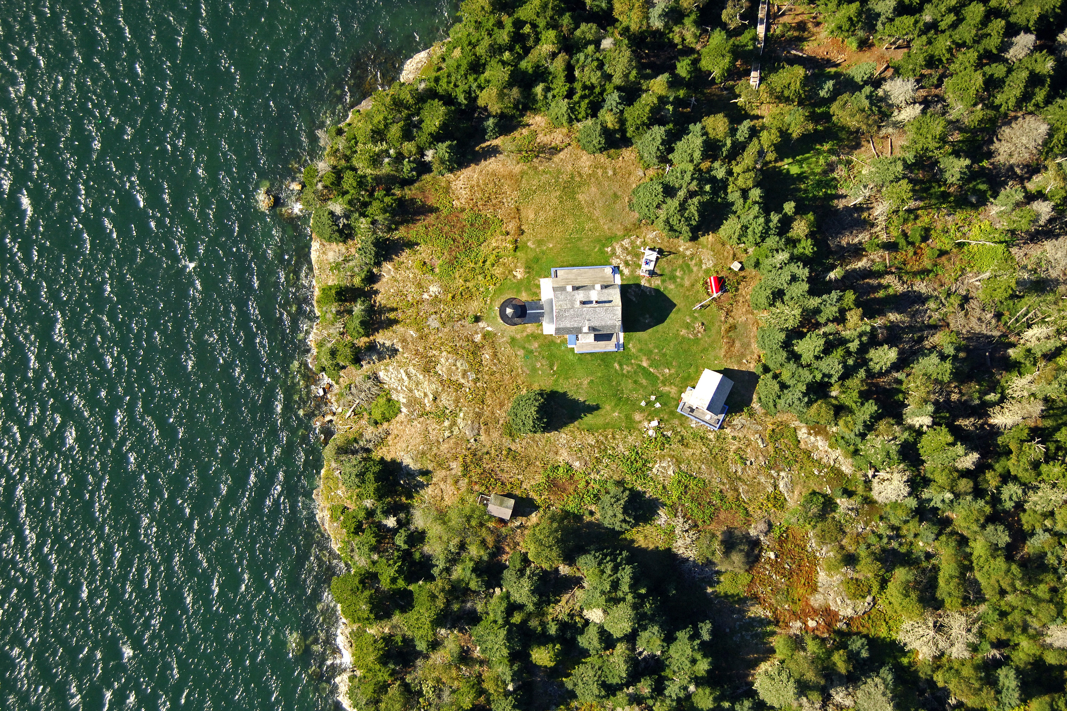
Bear Island sits at the entrance to Northeast Harbor, just east of Seargeant Head. The white and black brick-clad lighthouse sits 31 feet above the water and has a white light that flashes white every five seconds.
The light serves both as a marker for the island, and an approach light for Northeast Harbor, which lies just to its north.