


Oxford Harbor
Oxford, Maryland United States
Marinas near Oxford Harbor
| Name | Reviews | Max LOA | VHF | Dock Depth | Gas / Diesel | Lift / Crane | Wifi | Amps |
|---|---|---|---|---|---|---|---|---|
| Doc's Sunset Grille & Stella's Cove Marina | - | 0.0 m | - | Low 0.0 mHigh 0.0' | - | - | - | |
| Oxford Yacht Agency | 90.0' | - | Low 8.0' | - | LYes | 30/50 | ||
| Campbell's Town Creek Boatyard | 45.0' | - | - | - | - | - | ||
| Hinckley Bachelor Point | 120.0' | 16 | Low 9.0' | - | LYesCYes | 30, 50 | ||
| Campbell's Boatyard at Jack's Point | - | 120.0' | 16 | - | - | LYesCYes | 30, 50 | |
| DiMillo's Oxford | 55.0' | 16 | - | - | LYes | 30 & 50 | ||
| Cutts & Case Shipyard | - | 0.0' | - | Low 0.0 mHigh 0.0' | - | - | - | - |
| Sandaway Suites & Beach | - | - | Low 12.0'High 300.0' | - | CYes | - | ||
| Campbell's Custom Yachts | - | 0.0' | - | Low 0.0 mHigh 0.0' | GYesDYes | - | - | - |
| Tred Avon Yacht Club | 107.0' | - | - | - | - | - | ||
| Safe Harbor Oxford | 120.0' | 16 | Low 8.0'High 0.0' | G$5.779/galD$6.369/gal | LYesCYes | 30, 50 | ||
| Langwater, Inc. Moorings | - | - | - | - | - | - | - | - |
| Dickerson Harbor | - | 58.0' | - | Low 5.0' | - | LYesCYes | - | 30/50 |
| Easton Point Marina | 0.0' | - | Low 0.0 mHigh 0.0 m | GYes | - | - | - | |
| St Michaels Marina LLC | 230.0' | 16 | Low 9.0' | G$5.259/galD$4.999/gal | - | 30 AMP, 50 AMP, 100 AMP |
Introduction:
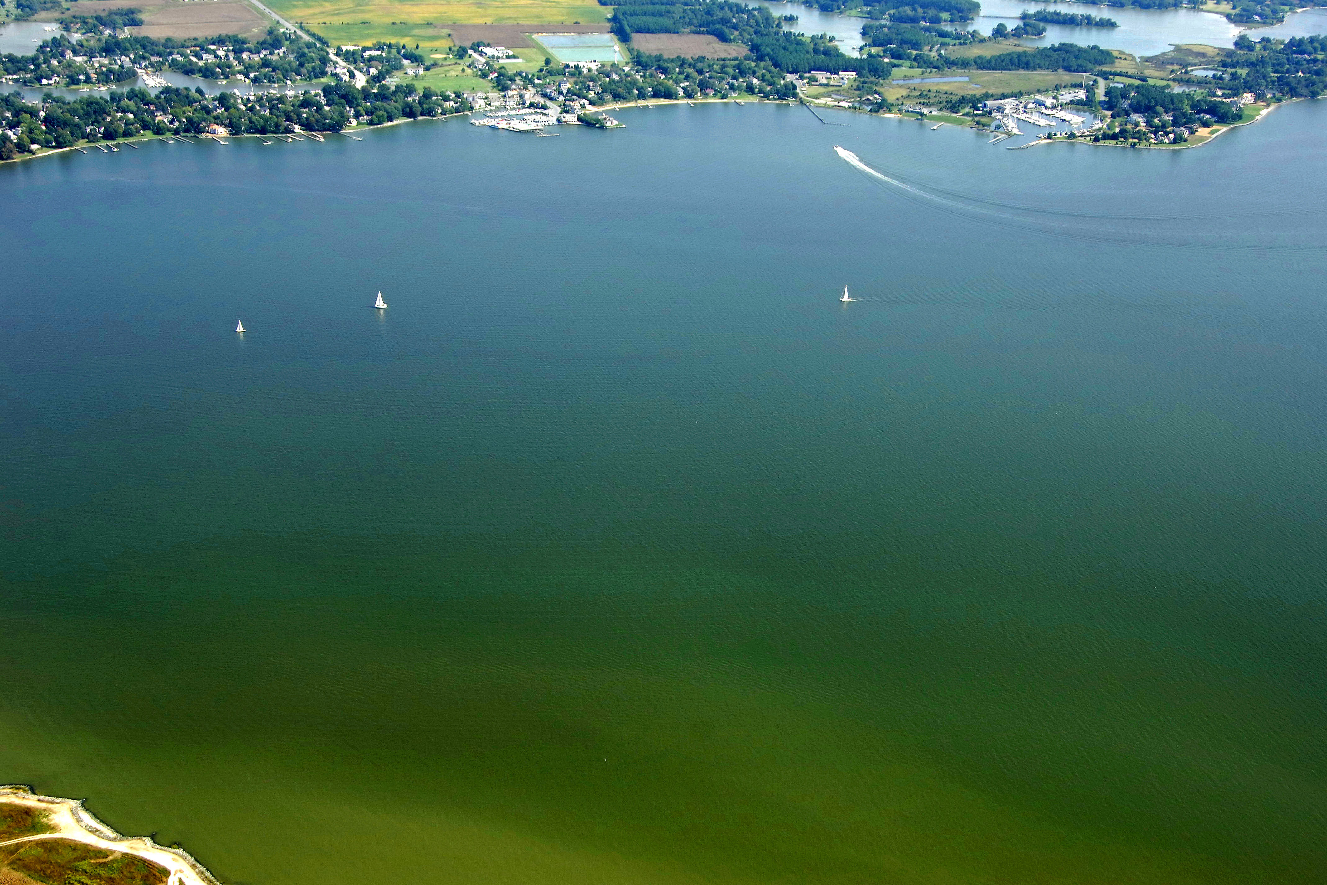
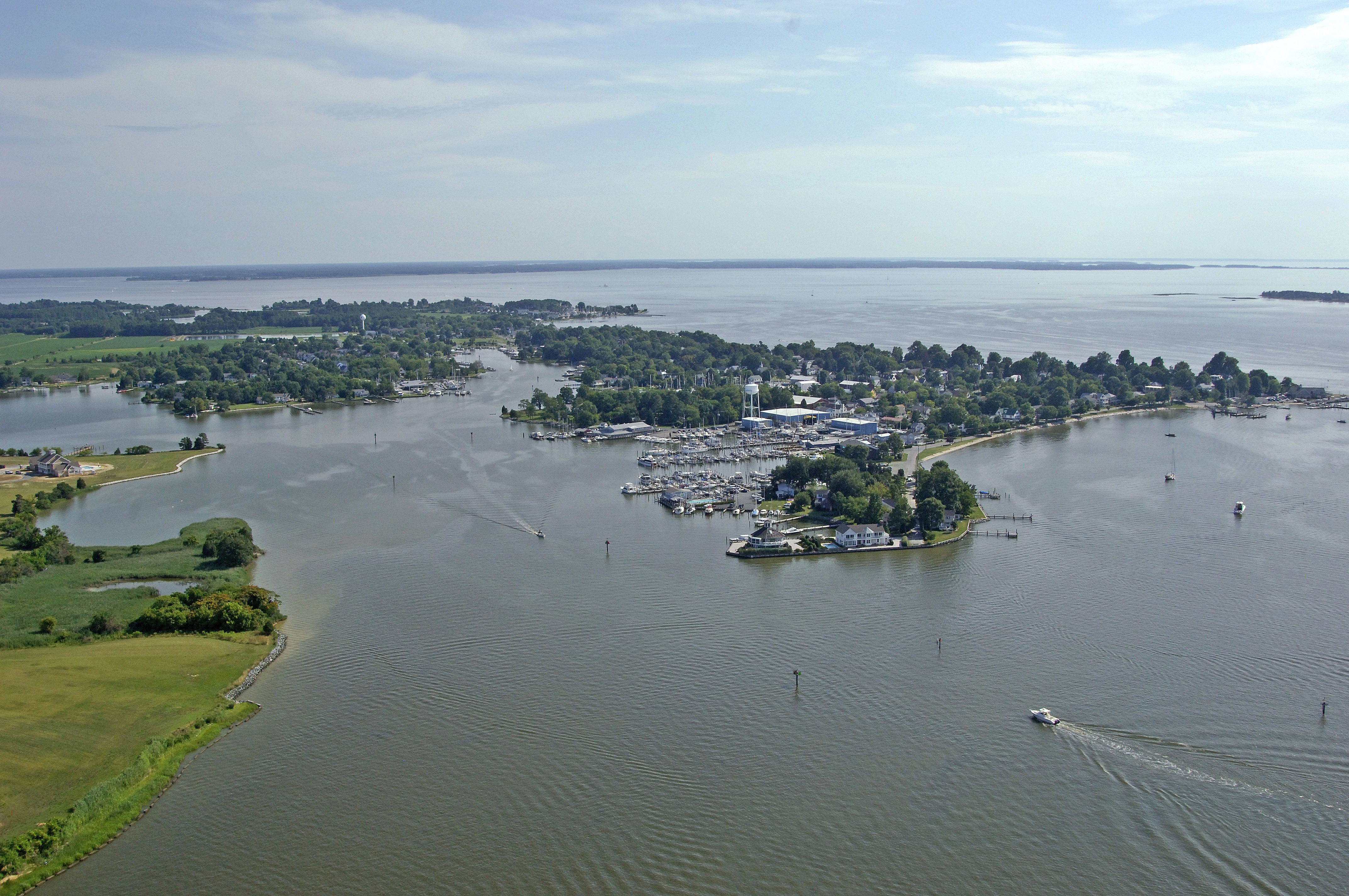
Town Creek off the Tred Avon River is home to the town of Oxford (yes, named after its English counterpart), a robust fishing and recreational boating community on Marylands middle Eastern Shore. One of the oldest towns in America, Oxford is now home to several large and well-equipped marinas and marine repair facilities, and its small-town feel makes it a popular destination and stopover point for those exploring the outer reaches of the Choptank River.
Settled in the mid 1600's, Oxford enjoyed prominence as an international shipping center surrounded by wealthy tobacco plantations. Since then, the fortunes of this charming village have ebbed and flowed; once Maryland's largest port, today it has a population of less than 1000 yet maintains international importance in boat building and yachting. Oxford today is still a waterman's town, but is enjoying a new resurgence based on tourism and leisure activities. Its quiet charm, fresh air, summer breezes, and clean water provide a haven from the hustle and bustle of city life for boaters, weekend visitors, and summer residents alike.
Several highly rated restaurants are a short walk through tree lined streets, historic clapboard houses and beautiful gardens with picket fences that inspire the annual "Picket Fence Tour." There is usually a play on at the newly refurbished Oxford Community Center, and a 20 minute round trip ride on the Oxford-Bellevue Ferry, believed to be the nation's oldest privately operated ferry service, is a delightful diversion whether you are on foot, bicycle, or traveling by car.
[i]Some Information Courtesy of Town of Oxford[/i]
Navigating the Water:
Use NOAA Chart 12266.
The town of Oxford and Town Creek are located up the fittingly English sounding Tred Avon River, which bends north off of the Choptank River about eight miles in from the mouth.
The Choptank River LIght (flashing white every four seconds) is situated two miles south of Benoni Point and is the main beacon for the mouth of the Tred Avon River. Once you have cleared this light, you will set a course for flashing red buoy 2, which is located 2.5 miles north of the Choptank River Light past Bachelor Point.
The mouth of Town Creek is marked with flashing red 2 and flashing green 3. Town Creek has a controlling depth of 5.5 feet at mean low water from the mouth up to its head.
Local Notices to Mariners:
Local Notices to Mariners are now exclusively available online from the U.S. Coast Guard.
Helpful Links:
Harbor Reviews
STAY AWAY! After reading reviews on other boating sites, I realized that I am not alone. This boatyard is not dependable and their work is not good. They neglected to put the retaining ring in on one of our shaft couplings when they replaced the couplings. Subsequently the shaft pulled out while traveling and we had a 2 1/2" hole pouring water into our engine room. We were lucky to be in only eight feet of water on the ICW. If we had been on our way to the Bahamas, I suspect I would not be alive to type this note. The owner of Oxford Yacht Agency at Dickerson Harbor, Shanahan, refuses to reimburse us the cost of the repairs. So far we have spent $20,000 out of our pocket and our lawyer now filed suit in Federal court. These people do not stand behind their work, they do not do good work and they are not reputable! Stay Away!