
Georgetown Harbor
Georgetown, Exumas Bahamas
Marinas near Georgetown Harbor
| Name | Reviews | Max LOA | VHF | Dock Depth | Gas / Diesel | Lift / Crane | Wifi | Amps |
|---|---|---|---|---|---|---|---|---|
| Georgetown Marina | - | - | - | - | - | - | - | - |
| Elizabeth Harbour Moorings | 60.0' | - | - | - | - | - | - | |
| Moriah Harbour Cay National Park Moorings | - | - | - | - | - | - | - | |
| Exuma Yacht Club | 120.0' | 11 | - | D$7.81/gal | - | - | ||
| Kidd Cove Marina | - | - | - | - | - | - | - | - |
| Exuma Markets Dinghy Dock | - | - | - | - | - | - | - | - |
| Georgetown Dinghy Docks | - | - | - | - | - | - | - | - |
| Saint Francis Resort and Marina | 75.0' | 16 | Low 6.0' | - | - | - | 30 amp ( 20 slips) and 50 amp service | |
| Peace & Plenty Hotel Dock | - | 0.0 m | - | Low 0.0 mHigh 0.0 m | - | - | - | - |
| Exuma Boatyard | - | - | - | - | - | - | - | - |
| Master Harbour Marina & Repair | - | 0.0' | - | Low 0.0 mHigh 0.0' | - | LYes | - | - |
| Brown's Marine and Boat Storage | - | - | - | - | - | - | - | - |
| Marina at Emerald Bay | 240.0' | 16 | Low 0.0 mHigh 0.0' | G$6.7818/galD$7.10/gal | - | 30, 50, 100 | ||
| Roker Point at Emerald Bay | - | 0.0 m | - | Low 0.0 mHigh 0.0' | - | - | - | - |
| Stella Maris Resort Club & Marina | - | 0.0 m | - | Low 0.0 mHigh 0.0 m | - | - | - | - |
Introduction:
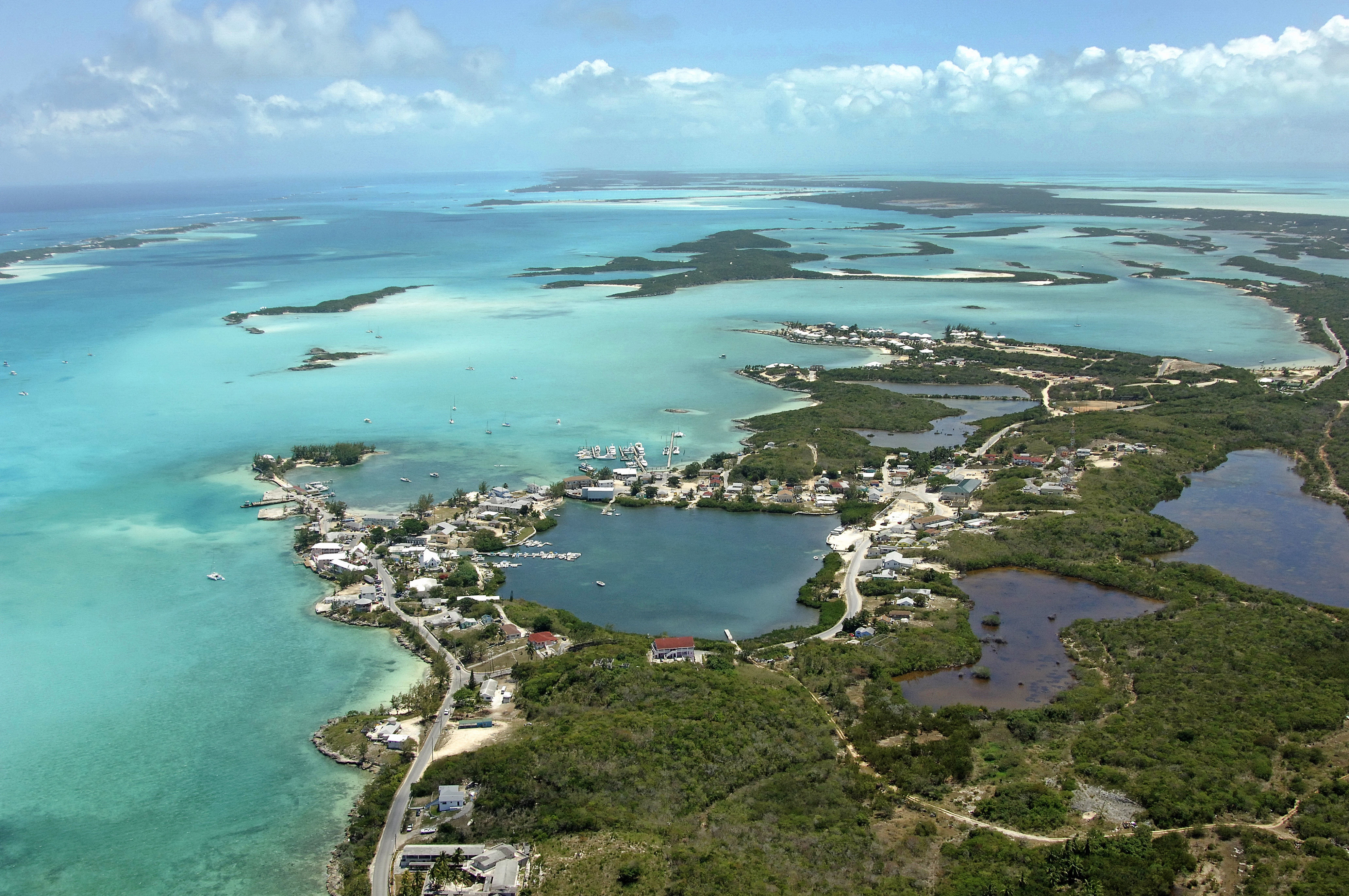
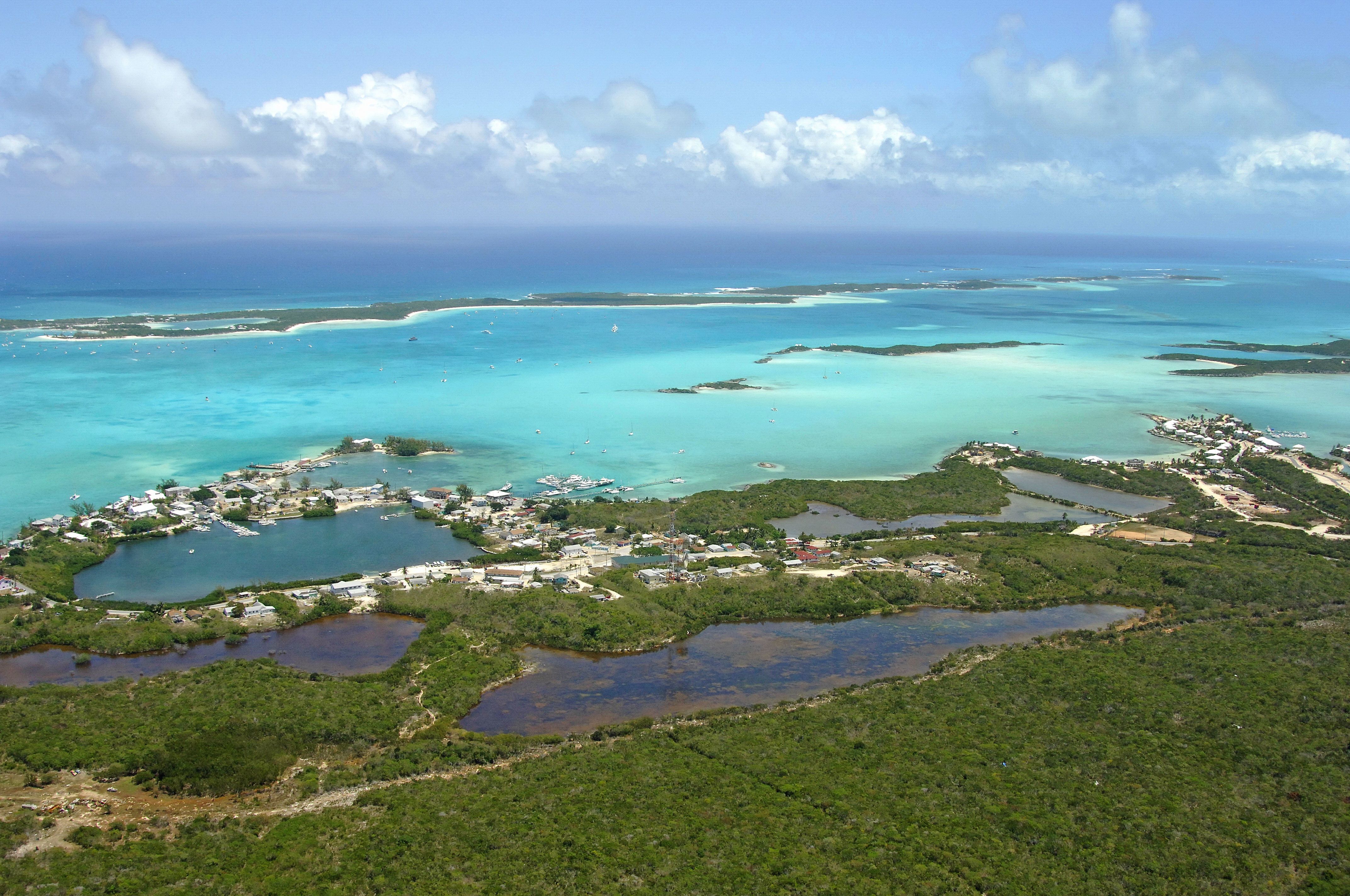
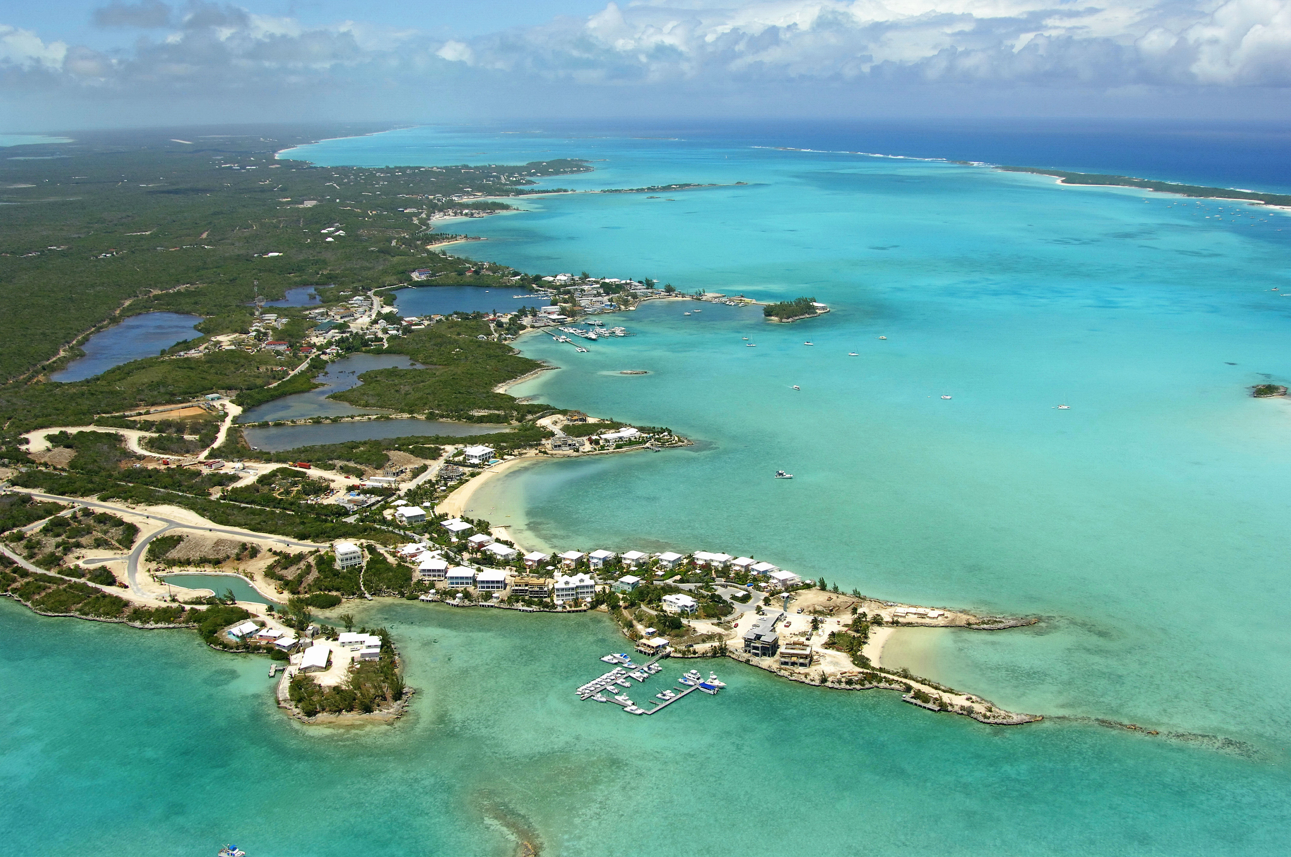
Goergetown is the capital of the Exuma island chain, a long sliver of islands that stretches for nearly 130 miles across the middle section of the country of Bahamas. Located at the southern tip of the chain, Georgetown is 145 miles southeast of Nassau and 65 miles south of Cat Island.
The center of yachting activity here is Elizabeth Harbor, a slightly protected body of water to the west of Stocking Island (visible in the image above, top right). Also visible above is Lake Victoria and Regatta Point, which are located in the middle of the image (Regatta Point is the green slier of land surrounded by relatively deep water). Most of the marinas are located in the stretch of water from Victoria Lake south to February Point.