Johns Bay Inlet
| Pemaquid Point, Maine United States | |
| 43° 49' 19.19'', -69° 31' 45.85'' | |
| Christmas Cove |


You might also consider...


About
Local Notices to Mariners:
Local Notices to Mariners are available online from the U.S. Coast Guard.
Introduction:
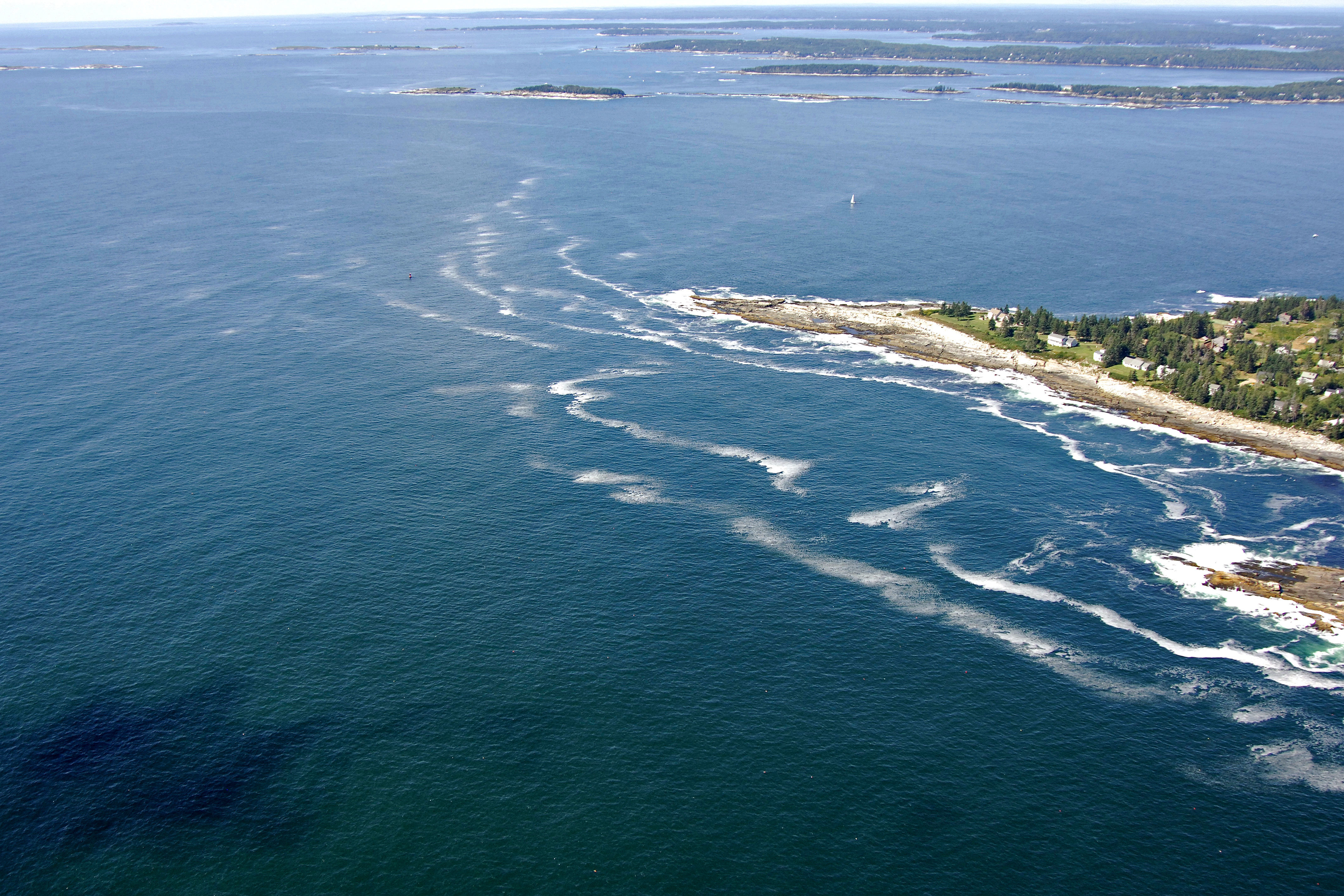
Saint Johns Bay is a wide expanse of open water that lies between Pemaquid Neck and a long chain of islands east of the Damariscotta River. Saint Johns Bay is 38 miles northeast of Portland and 35 miles to the southeast of Vinalhaven.
Navigating the Water:
Use NOAA Chart 13293.
Approach from the south. Pemaquid Ledge lies on the east dies of the entrance and is marked with a green and red can buoy, while Thrumcap Ledge and Thrumcap Island lie to the west and are unmarked. If arriving from the east, Pemaquid Point Lighthouse is a good long-range landmark that will guide you to the flashing red gong buoy marking the southernmost part of Pemaquid Neck.
The water is deep and wide all the way to Johns Island, where the water splits.