Little Narragansett Bay Inlet
| Stonington, Connecticut United States | |
| 41° 19' 57.0'', -71° 53' 49.93'' | |
| Stonington Harbor |


About
Introduction:
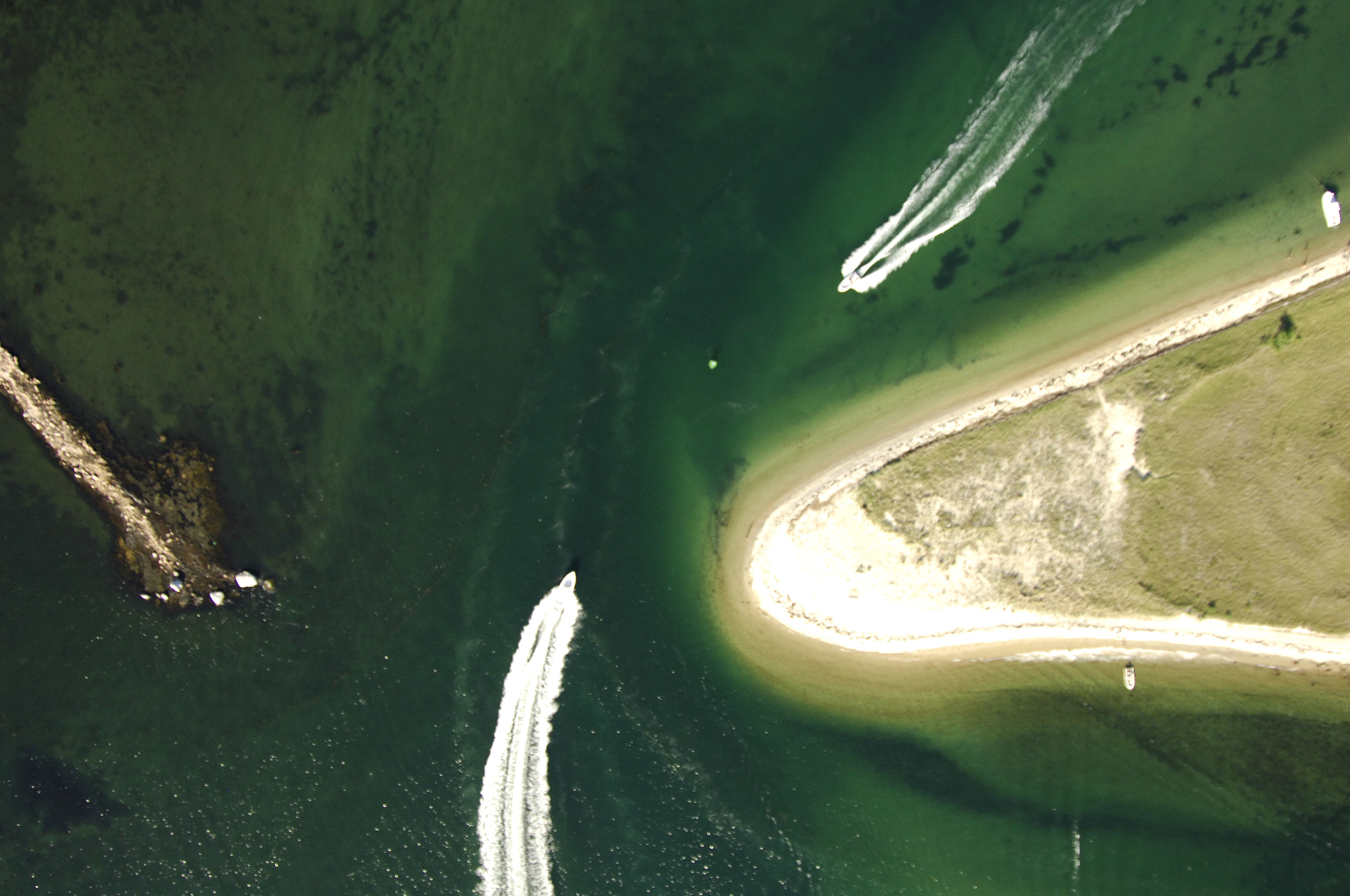
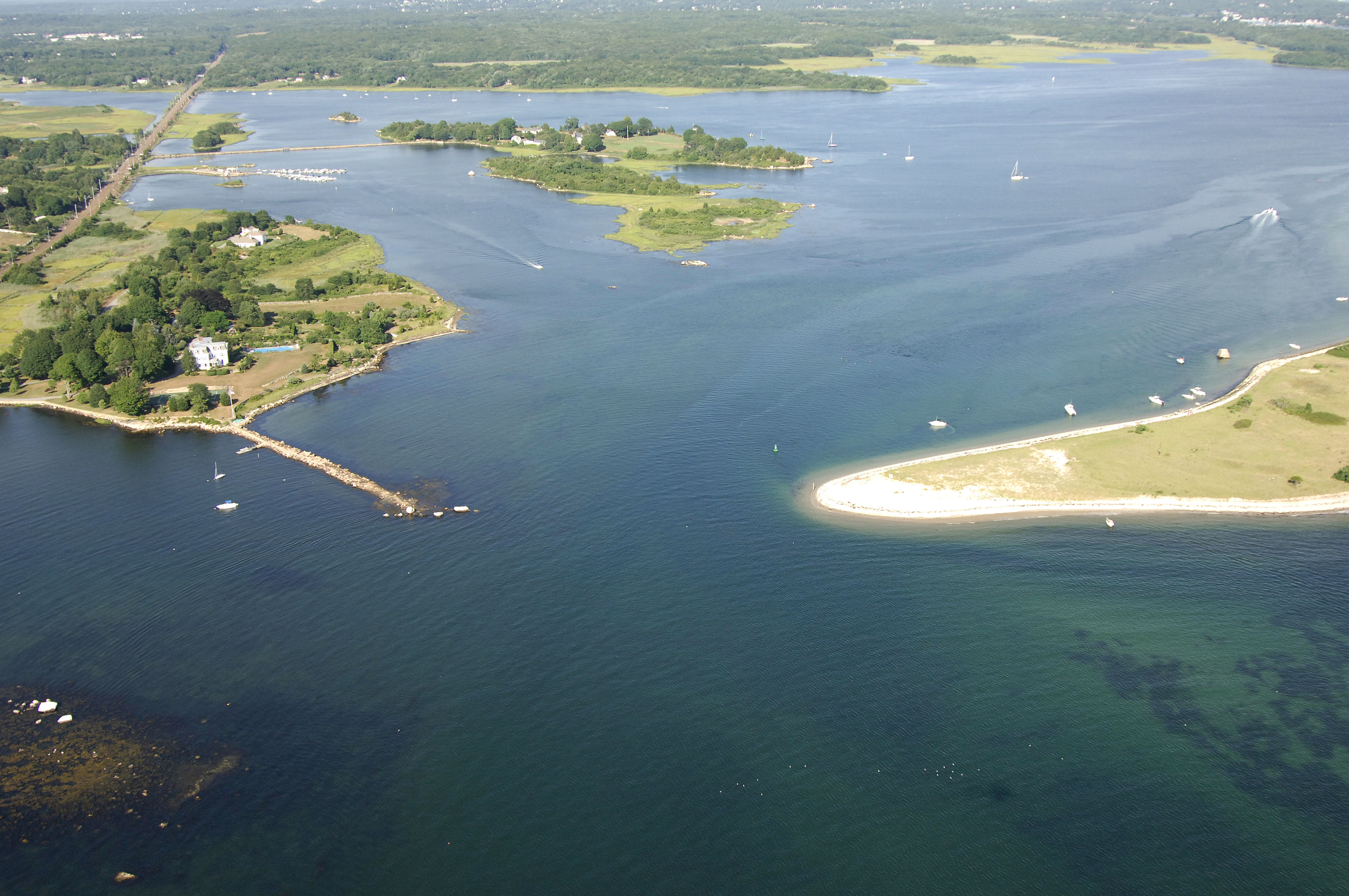
Little Narragansett Bay is the gateway to Rhode Island waters, but aside from a few miles of shoreline, the bay lies entirely in Connecticut. The inlet to Little Narragansett Bay is located on the north side of the bay near Stonington, as the southern end toward Watch Hill is completely shoal (one-foot depths). There are no marinas on the bay itself, and the passage through Little Narragansett Bay focuses on the facilities at Watch Hill and farther up the Pacatuck River at Pawcatuck and Westerly. Little Narragansett Bay outside the channel is completely shoal, with one- to three-foot depths being the prevalent sounding.
Navigating the Water:
Use NOAA Chart 12372.
The Pawcatuck River is the main destination off Little Narragansett Bay and it is reached via a northern route south to the rivers mouth near Watch Hill. The southerly route has depths of one foot throughout and is basically impassable. From inside the breakwaters at Stonington Point to the north, pick up flashing red buoy 2, and then chart a course for red nun 4 to the northeast. Once you have cleared the red nun buoy, move toward the northeast to intercept flashing green 5, which is located at the entrance to Little Narragansett Bay between Sandy and Edwards points.
The southeast journey across Little Narragansett Bay to the mouth of the Pawcatuck River is about two miles, and the channel follows a long line of lighted and unlighted buoys with depths of at least seven feet. From Sandy Point and flashing green buoy 5, you will follow green can 7, green can 9, red nun 10, green can 11, flashing green 13, red nun 14, red nun 16, green can 17, red nun 18A, flashing green 19, red nun 18, red nun 20 and red nun 22 to flashing green buoy 23 at the mouth of the Pawcatuck River.
Green can 1 marks the beginning of the passage up the Pawcatuck. Depths in the river vary from eight to 11 feet, and generally, the buoys do carry you through the deepest water. Currents here can be strong and warrant a steady hand on the helm. Marinas are scattered along the length of the river up to Pawcatuck and Westerly.
Local Notices to Mariners:
Local Notices to Mariners are available online from the U.S. Coast Guard.